I'm a paper map kind of guy. While I use the GPS an mapping apps on my phone, I still like the feel and look of a paper map.
However, is there a map program or website that makes the maps look like old school maps?
This is for a project I'm working on, I'll probably just end up buying some real paper maps.
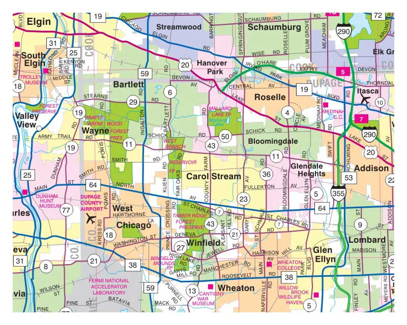
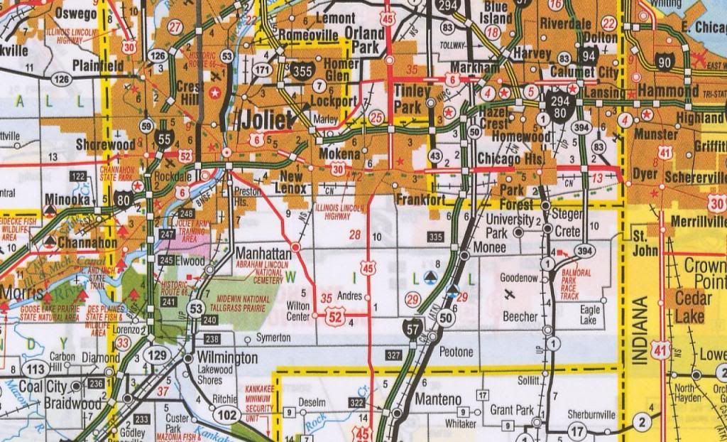
This is similar to the look I'm looking for:

 If you like this map, the DOT of Illinois has zoomable road maps that you can download on their site here: Linky
Also: Main Map Page Linky
SyntheticBlinkerFluid wrote: In reply to EastCoastMojo: It's funny you use that image, my town's toward the bottom right corner.
I live in Lockport near Homer Glen. Just north of Joliet.
Cool map.
iceracer wrote: I find better routes on paper maps than what my Garmin gives me.
I set the GPS to avoid toll roads and highways, that said, I've been in some very cool places not normally found
I love paper maps, as a grassroots motorsports person I always keep my AAA premier towing/RV package, and one advantage is free maps of any region, state, or city they have.. and I always try to keep a variety in my truck, because there are still pockets where there is no cell phone reception, and I've had gps units crap out halfway through a trip. I like to visualize where I am and where I'm going, and it pays off if there is an accident or a road closure or a weather system moving in.
sadly I feel like paper maps are starting to go the way of the phone book... my fiance can't even read one.
andrave wrote: sadly I feel like paper maps are starting to go the way of the phone book... my fiance can't even read one.
That's got nothing to do with technology. Lots of people never really learned.
I agree, it's really nice to have a big picture of where you're going. But I'll take any legible map, I don't care if it's paper or pixels. The info is what matters.
Garmin might not always get you there by the most obvious route, but it'll get you there.
SyntheticBlinkerFluid wrote: In reply to EastCoastMojo: It's funny you use that image, my town's toward the bottom right corner.
That's why I used that section of the map - I thought you might like it. ![]()
Keith Tanner wrote: Garmin might not always get you there by the most obvious route, but it'll get you there.
I guess youre basing that off your experience. My experience is that a GPS unit will you get you there, until it doesn't. And so its best to have a contingency plan. Most of the time that is my iphone; however, I live in WV and like many rural areas, cell phone is spotty at best once youre off the main roads (and if youre on the main roads, really, you probably don't need much help).
I've had gps units suggest I take a "county road" that turns out to be an oil pipline right of way that is for all intents and purposes, impassable. Once I turned around, it refused to reroute, insisting that pass was the only suitable route. I've input addresses before, complete with city and area code, and had the gps automatically correct to something else without telling me and take me someplace else entirely. And i've had them lose the GPS signal and never get it back.
They are a great plan A, but they must be used in conjunction with common sense and a reundant option in the even of failure.
You'll need to log in to post.