this is so cool...![]()
I have been reading this for two hours. I am loving this! You have inspired me to do the same thing (although on my Buell--I don't have an off-roader). I wonder if I can fit some rough tires to her and handle some of the less-than-perfect roads?
Oh, and you go to Towson University? You're 6 minutes away from where I went to school: Loyola College---er, University as they call it now. Go take a walk around that campus one day. It's small, but it's gorgeous. Get a sandwich and fries at the Boulder Cafe in the student center (best fries around). Interesting fact: Tom Clancy graduated from Loyola. I had his English teacher. She is fantastic.
My little sister is also 3 minutes away from you at Goucher. Matt Groening's son goes there too.
Keep it coming! The language you use to describe the things that you encountered makes it easy for us to relive the journey, even though most of us were working while you were doing this!
Yup, I go to Towson. Loyola does have a nice looking campus, at least from what I've seen of it from Charles St as I ride by. So... tell me about this sister... ![]()
I guess its time for moar. ![]()
Day 13 - Trinidad to Salida
Dawn came way too early after a late dinner and slow camp setup the night before. The trees around Lake Trinidad weren't the best for the hammock, and its not the easiest thing to string up in the middle of the night (which is a big reason why it was sold in the Flea Market yesterday). Regardless, we still got on the road relatively early in the day for the relative short hop up to Salida.
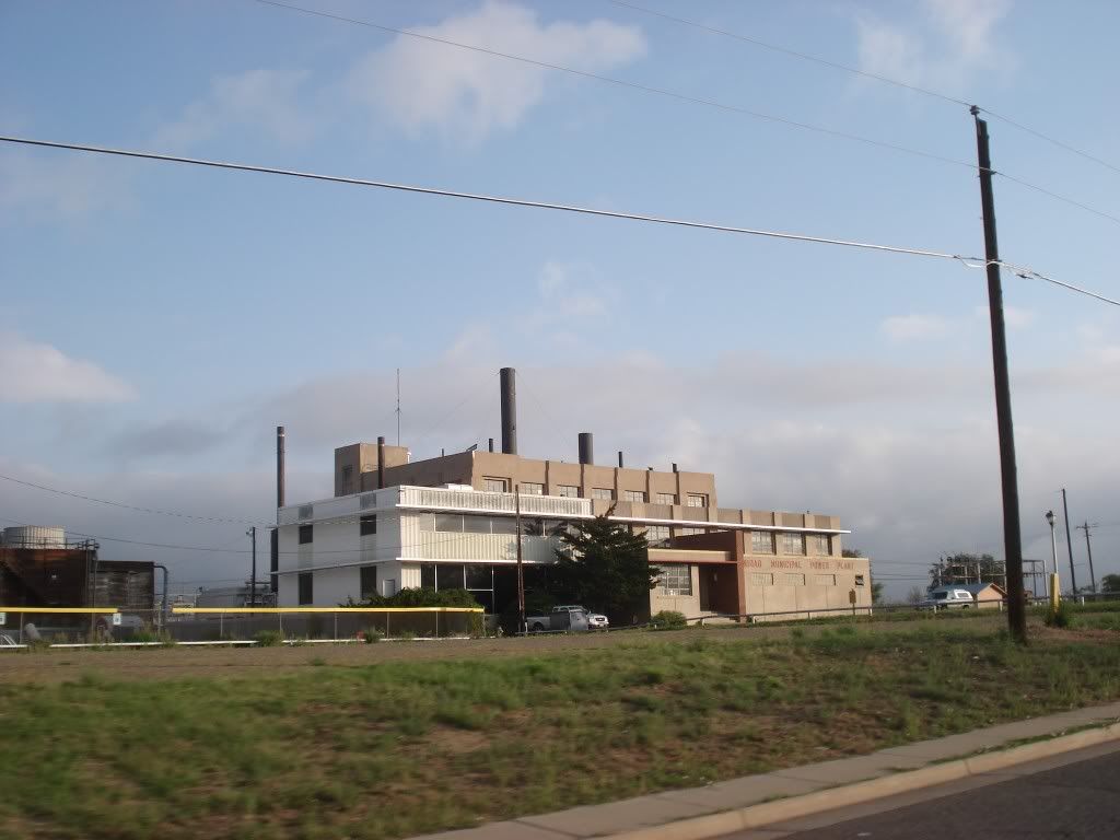
Passing by the power plant leaving Trinidad
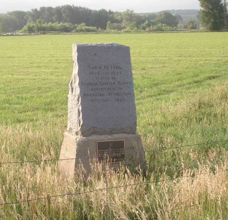
On the old trail again... hard to imagine doing this by wagon... or horse... or on foot...
The skies started to threaten again, so we both made a stop to do throw on rain pants (and for me, my overboots as well) in preparation for weather that hopefully would never come. Gear decision number 2, I'm getting a 1-piece rain suit for the next trip.
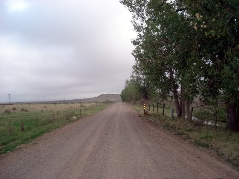
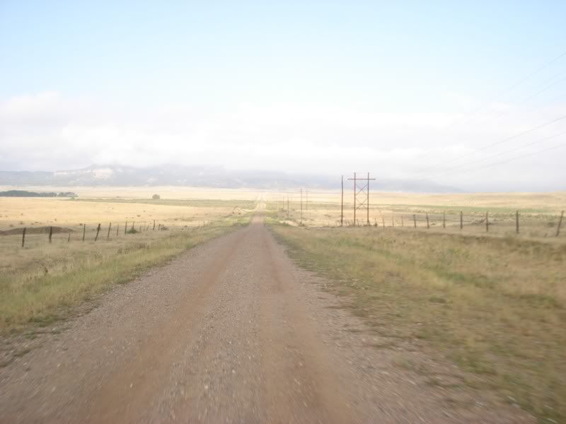
False alarm of course, mostly...
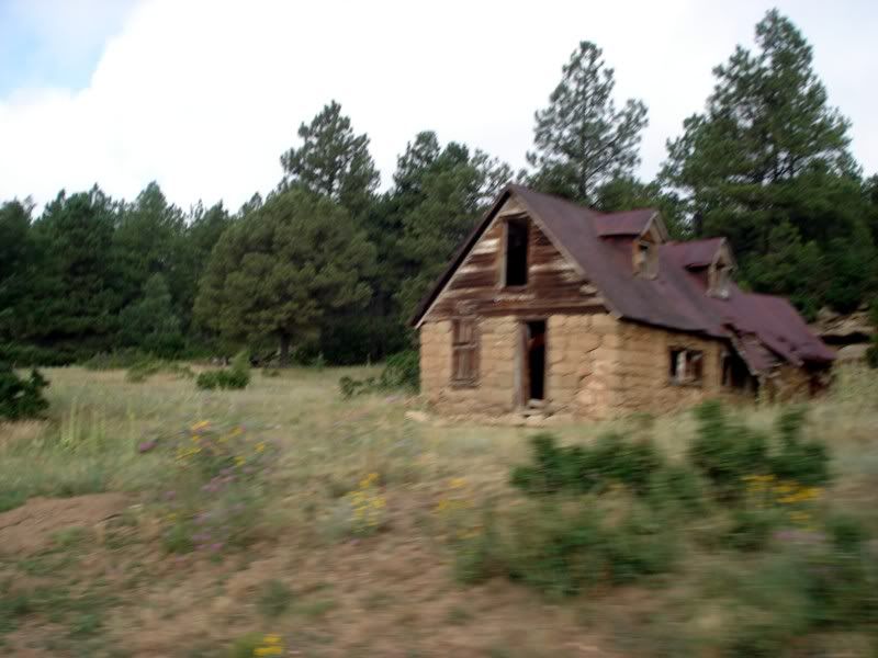
More abandoned homes. This was probably a nice one when it was built, someone definitely put in a lot of effort. Guessing either miners or ranchers, and either the mine played out or the cows all died? Or just got tired of living out here...
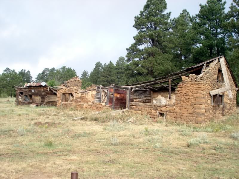
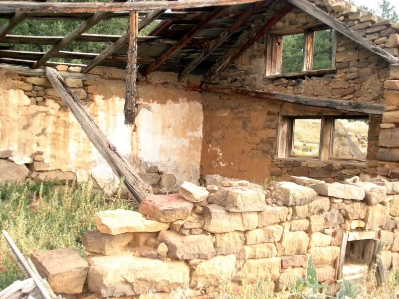
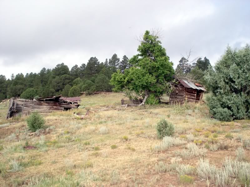
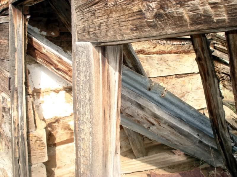
Another one...
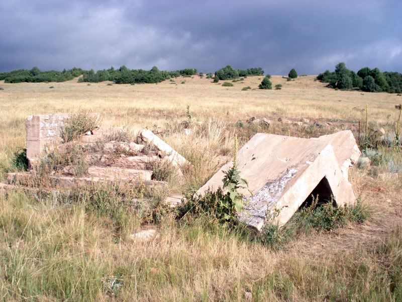
Whatever this used to be, it had to be important. Those steps were not small, and the foundation was substantial. A home? A bank? A mine office? Gotta wonder how it used to look, how long it took to get like this, and what it used to be.
Coming off the mesa.
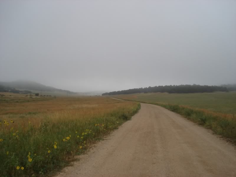
I've got my head up in the clouds... approaching 10,000 feet for the first time according to the Garmin
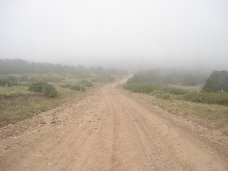
Back down a little way...
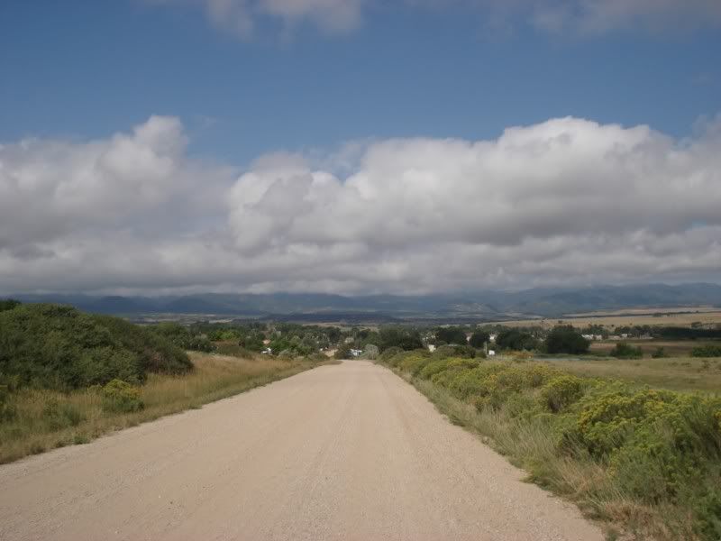
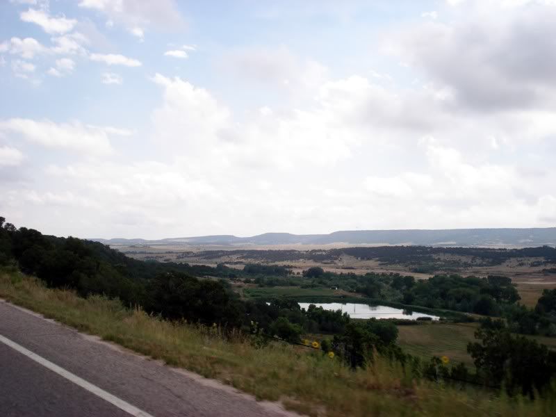
Time for a pit stop, on the menu was the Main Street Diner in La Veta, Co. I'm kicking myself for not getting a picture of it, but if you're on the trail or hell just in the area, stop in. You'll get more food than you know what to do with, I guarantee it. Brunch consisted of a gigantic omlette stuffed with ham, cheese, potatoes, bacon, and sausage, all covered in red chili. Its the first time in as long as I can remember that a breakfast has gotten the better of me, just couldn't finish it!
After fueling up the bikes as well, Paul took the lead for a while.
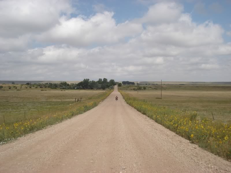
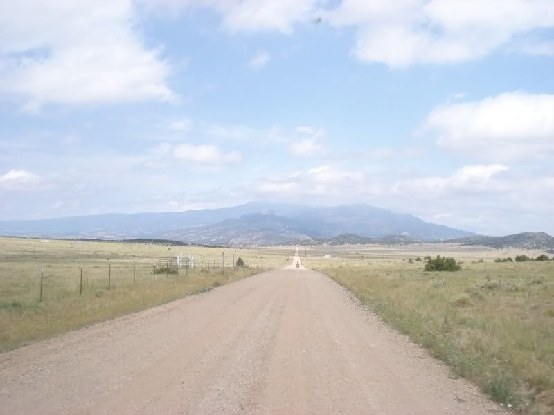
Seeing a church in the middle of nowhere makes you wonder what once was...
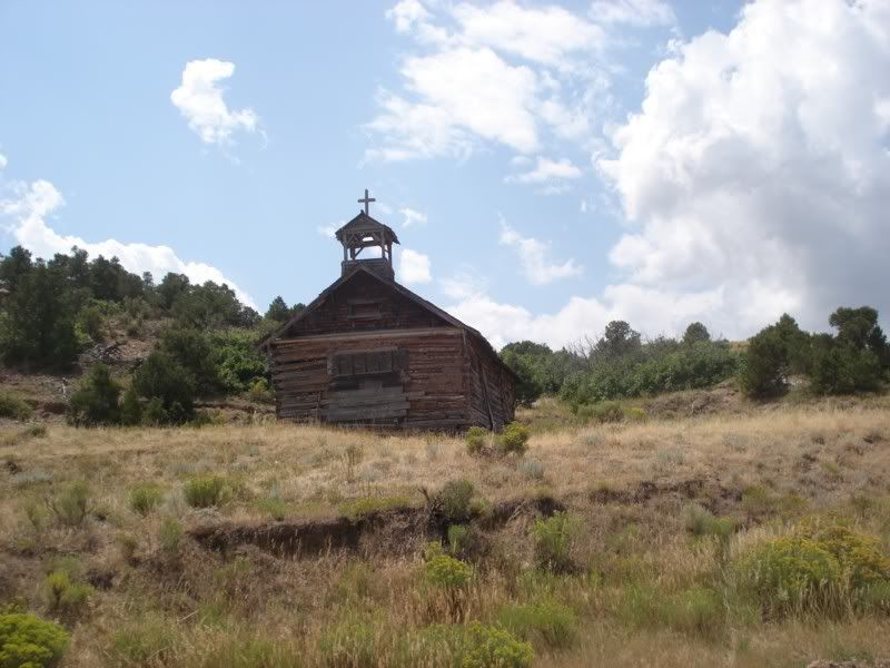
I like where this is going
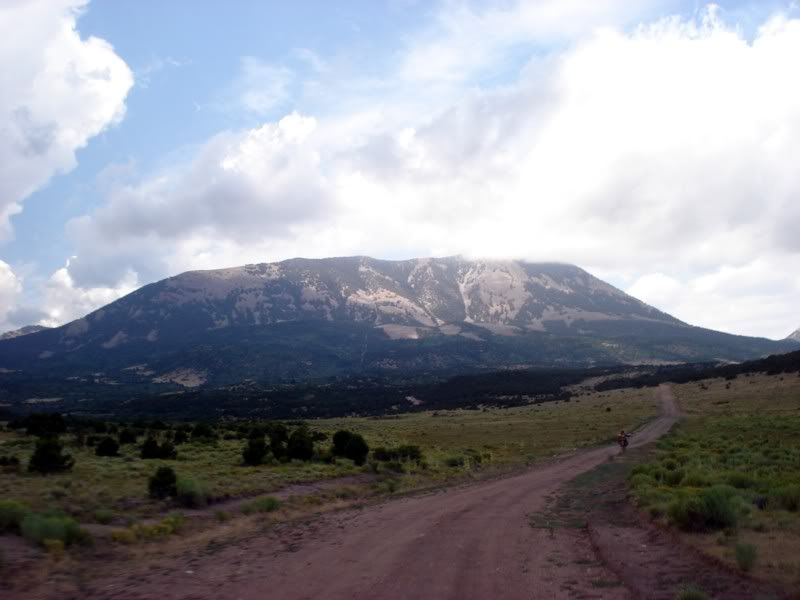
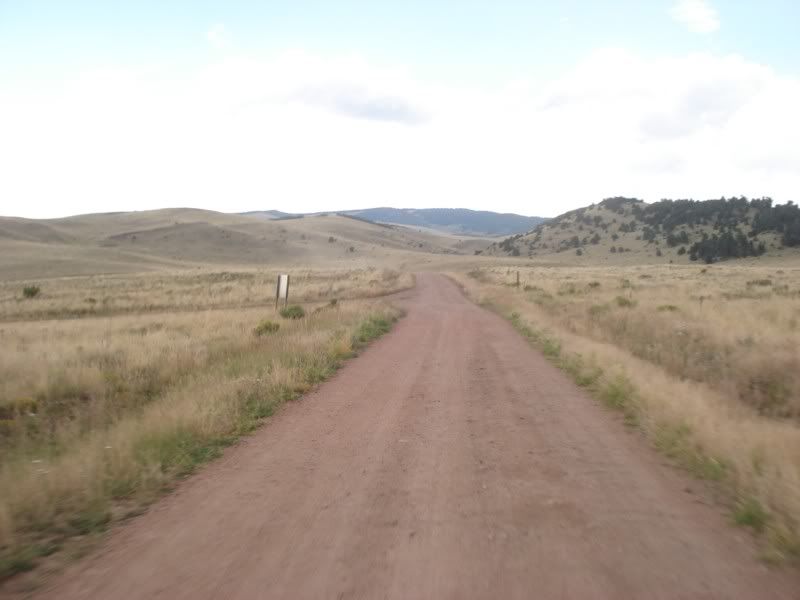
And into the San Isabel National Forest we go!
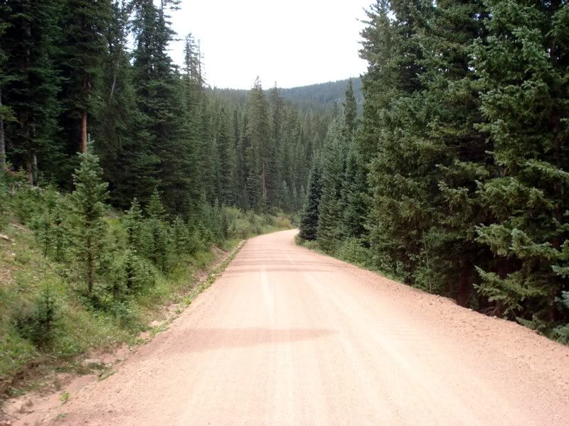
It was around this point that I started to notice something... I didn't like being behind someone. After nearly 3500 miles of riding alone, I was no longer content to share the view I guess? Part of the problem for me was also that Paul generally kept a slightly slower pace than me, particularly on the uphill and flat portions, slower enough that I was often and consistently put between gears and generally out of sorts. It was fun while it lasted, but I caught up to him and said I wanted to ride on ahead at my own pace, maybe see you in Salida, and rode on ahead. Part of the issue was I did NOT want to get caught out after dark and I still had my GPS set on Central time, telling me I was an hour later than I really was, and a lot of it had to do with I was anxious to get to Salida as I had someone to meet.
The road continued UP UP UP! Crossed over 11,000 feet still running strong, but c o l d. I had to stop to throw on a thermal shirt, pull my rain shell out, and put on my windblocker glove liners to stay warm. Coming back down the mountain:
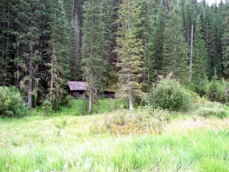
My maps had me continuing down this highway...

Screw that, I accidentally(?) set a waypoint on this dirt road that lead through Puma Canyon, and took a detour instead.
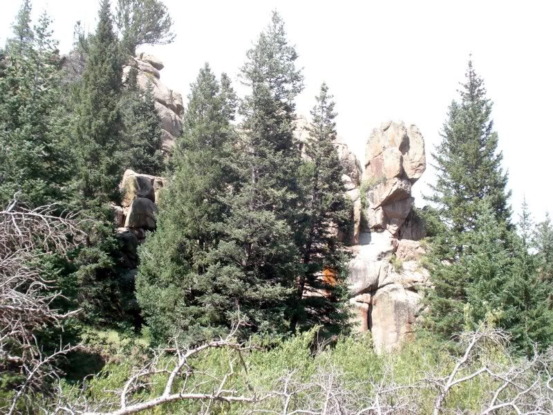
[IMG]http://i209.photobucket.com/albums/bb84/skierd007/TAT%20Trip/Day%2013%20Trinidad%20to%20Salida/1341.jpg" />
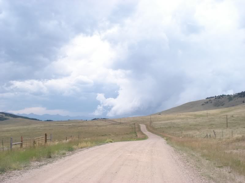
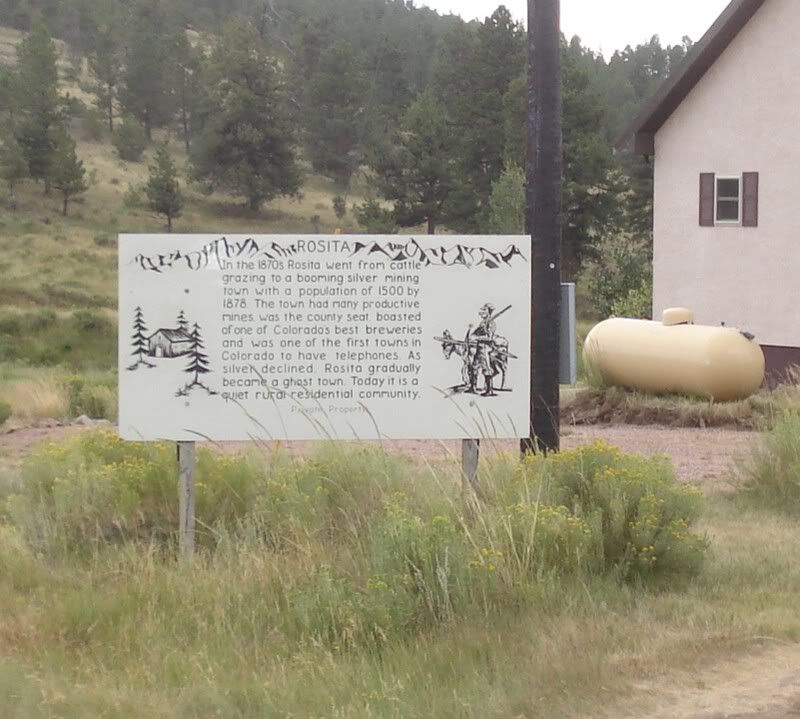
Its amazing how fast a town can rise and fall out here.
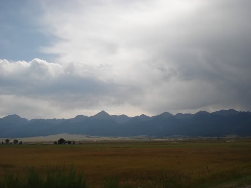
Just after my second fuel stop in Westclife, I got caught in either the remnants or the beginnings of a fairly strong storm, during which on the road out of town I had to stop to let the winds die down. They were blowing so hard that all the loose sand on the road surface was blown away in a mini sandstorm and I just simply could not see, or open my eyes, or anything. It felt like walking into a sand blaster. Snapped this after it cleared since I was stopped anyways.
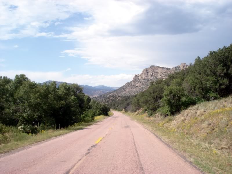
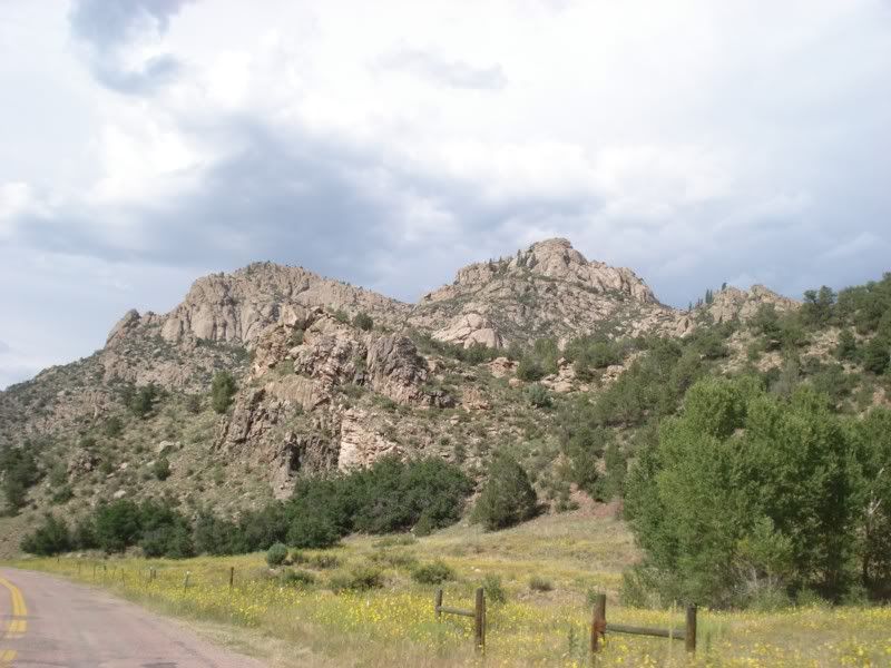
Crossing US 50.
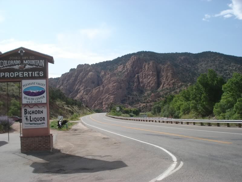
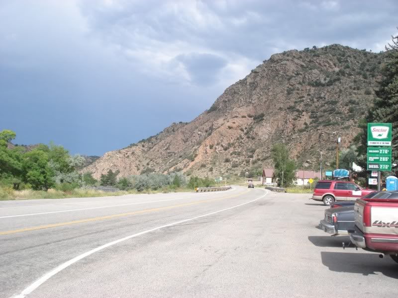
We're on the home stretch now!
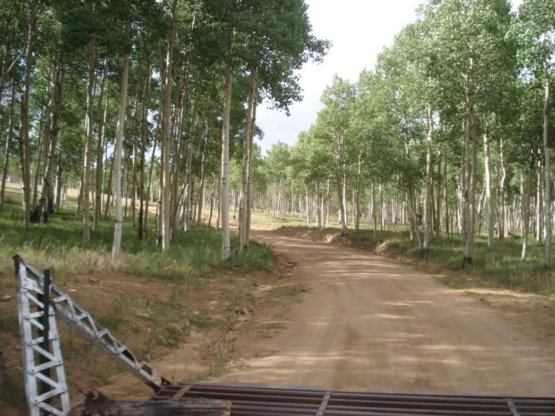
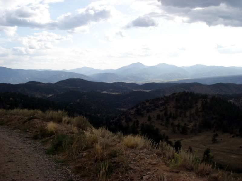
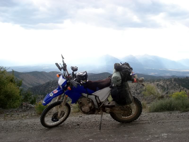
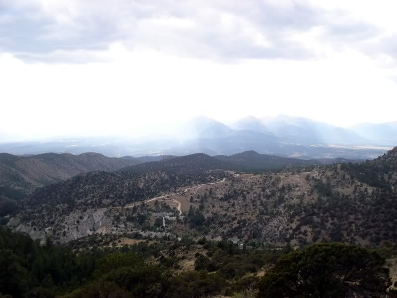
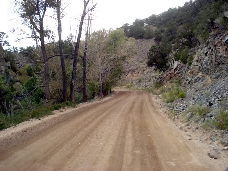
Back up and over another few mountains, I'll let the pictures do the talking.
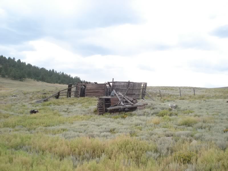
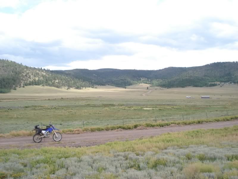
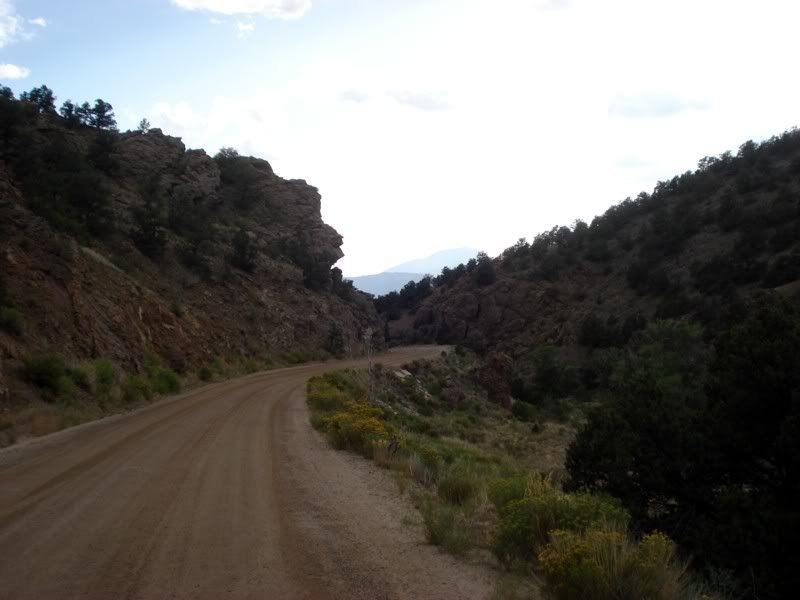
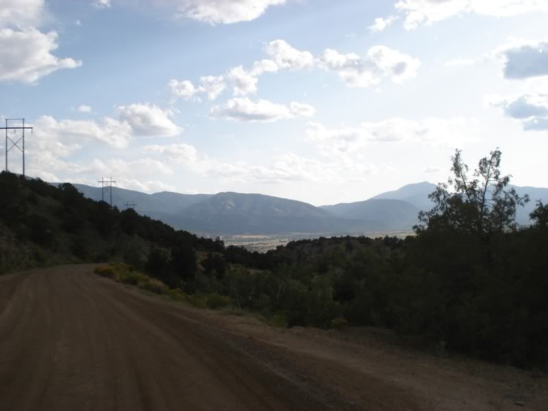
And finally...
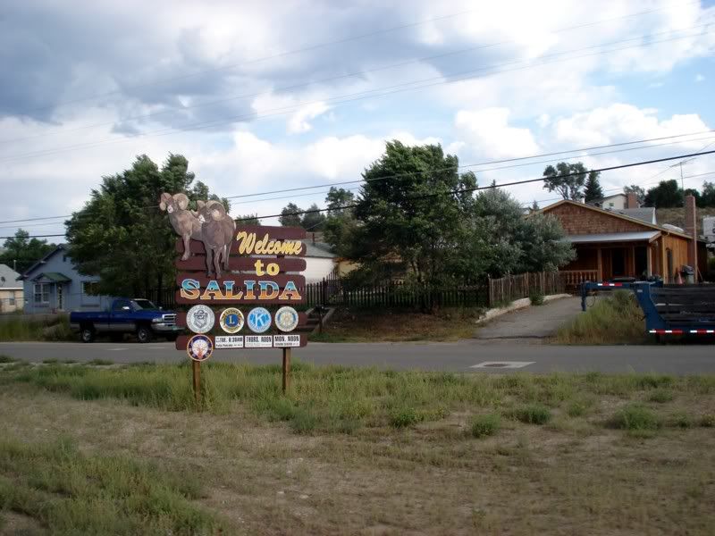
Time to turn my phone on and rejoin civilization! Called my dad who had driven down and met him downtown at the Boathouse Cantina
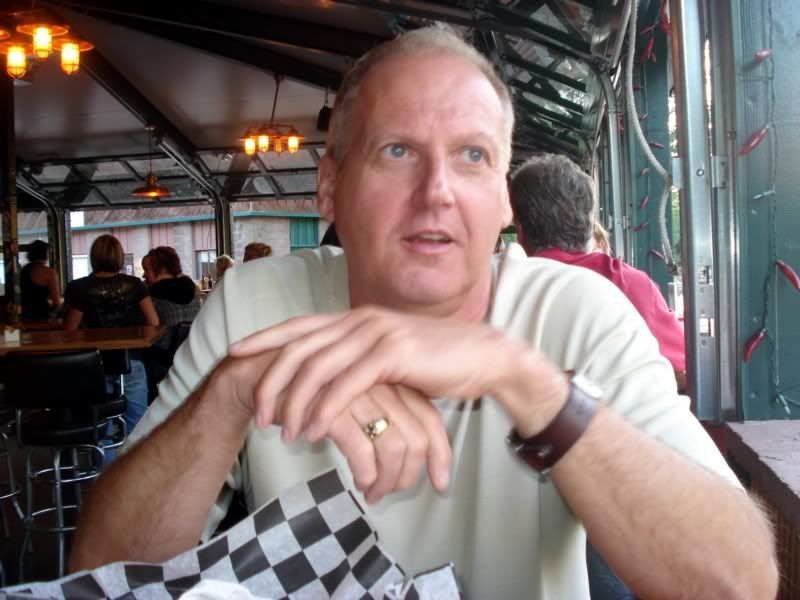
Dad retired from the government after 35+years in February, sold the house and eventually moved to one of the islands in Pugent Sound near Seattle after wandering around the country for about a month with the only plan being to stop when he found someplace nice. Wonder where I get it from? ![]() Since its only about a 2 days drive for him, he drove down and met me in Salida.
Since its only about a 2 days drive for him, he drove down and met me in Salida.
Looking down the Arkansas River, waiting for dinner, anxious for the riding to come tomorrow...
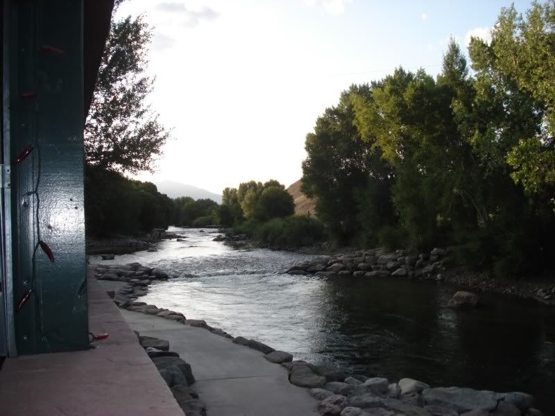
... time to climb some mountains!
Day 14 - Hancock, Tomichi, Marshall, and Tincup Passes
Up early enough to gorge myself on the continental breakfast at the Holiday Inn Express and got moving around 9am. Appropriate sentiment on the marquee...
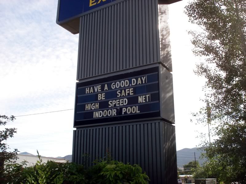
As you can see, I left the side bags in the hotel room. I knew the day was going to be difficult (most people say its the hardest part of the TAT), didn't want to make it any harder by adding width and weight.
Time to do what I came all this way to do... ride to the top of a few mountains! Stay on target...
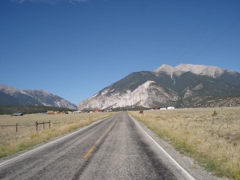
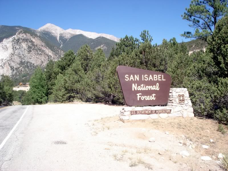
Nice long winding road up to St. Elmo. Note: the park service is starting to close off some of the roads and old townships are being closed off to close up the old mines and remove their presence. Get out there now before the greenies take it all away...
St. Elmo!
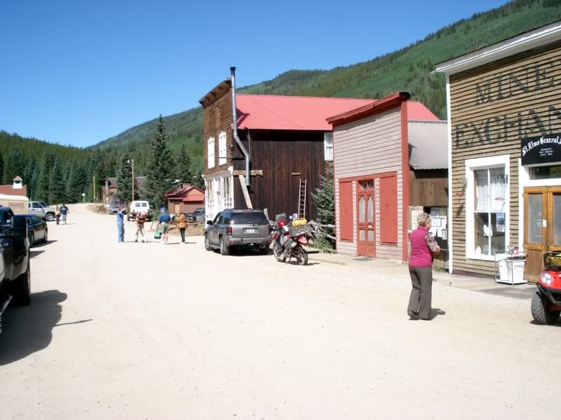
See the KLR? Yup, ran into Paul again. This is good though, I was happy to not be on the mountain alone a little while later...
More St. Elmo... this little town way up over 10,000 feet is the crossroads for the 3 main passes over the mountain. Go through town and turn right to go to Tincup, go left just as you get to town to go over Hancock and Tomichi.
Lets go left!
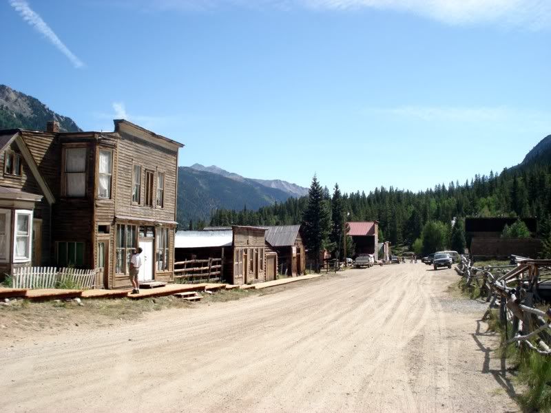
Not so bad so far... wonder what all the fuss is about?
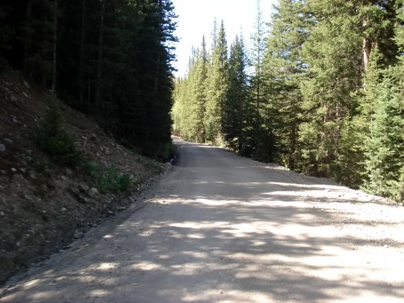
Another TAT monument.
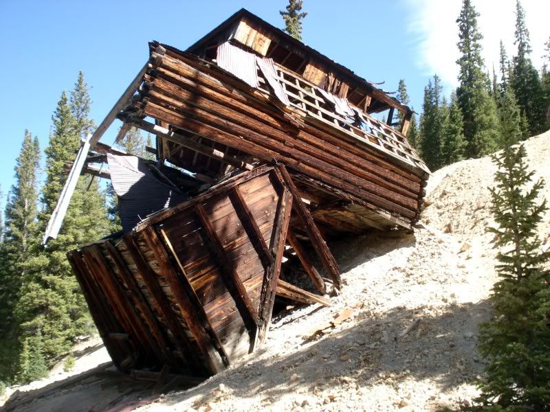
Air's starting to get a little thin, and I'm feeling it. Its also quite chilly up here, so I stopped to throw on my rain shell for an extra layer. I was already wearing my thermals and glove liners to give you an idea.
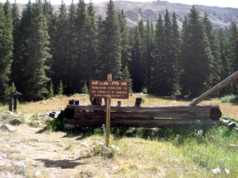
Welcome to the ghost town of Hancock. Here's all thats left:
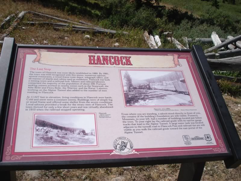
Right around the corner is the detour for the Alpine Tunnel trail. I didn't take the hike to the tunnel as I frankly didn't feel like walking several miles at altitude in MX boots.
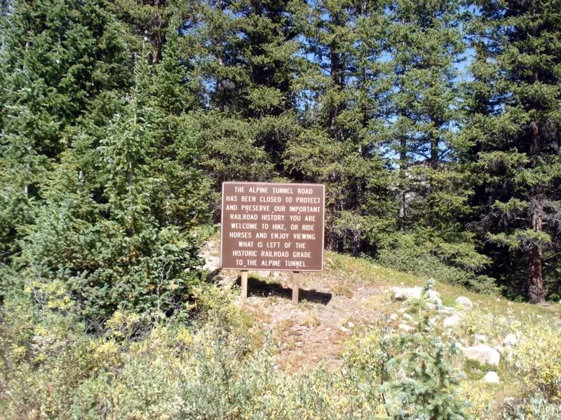
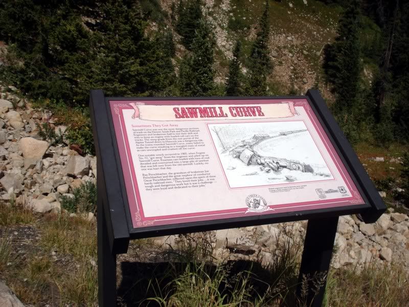
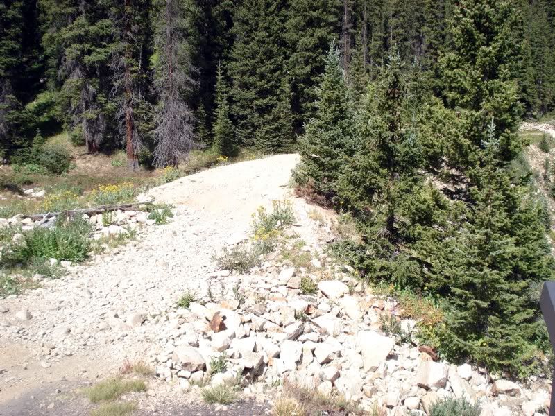
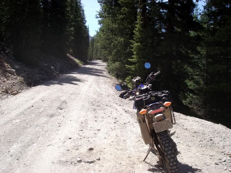
Word to the unwise: When they say high clearance 4wd vehicles, they mean ATV's. Only. I got to the first switchback and turned around after dropping the bike twice on the ascent, and twice on the descent walking it down.
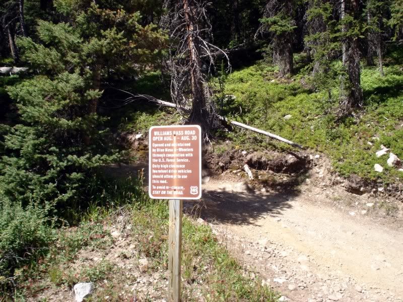
Head pounding from exertion, I had to stop for a few minutes to get my breath back. Keep in mind I'm still up over 11,000 feet here, 4000 feet higher than where I started my day.
Ok, no more stalling. The road to Hancock:
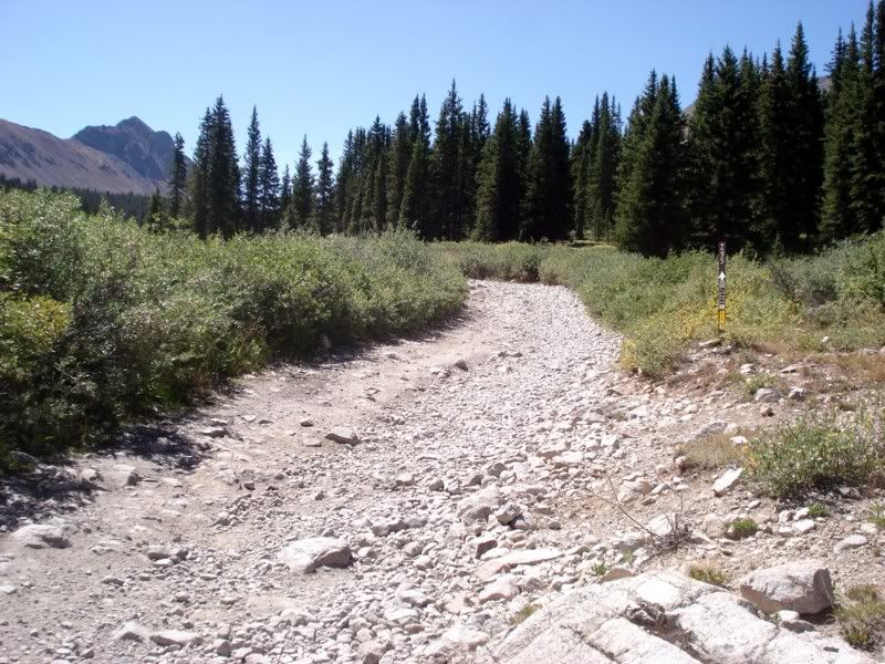
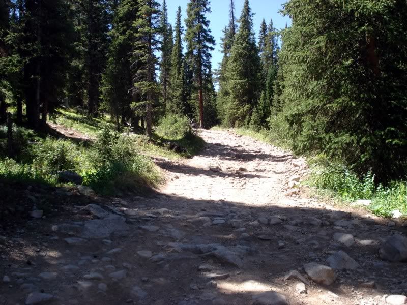
I had left paul back in St. Elmo, but he passed me while I was farting around on Williams, caught up to him shortly after this pic and ended up riding with him most of the rest of the day. A little further along... both of these are the easy parts btw. I always wondered why I couldn't find any pics from any other RR's going over the pass to show what I was getting into, its because if you stop on the hard parts there's a good chance you won't get moving again between the slope and the surface. Its basically all baby head sized rocks with only a few clean lines to pick through.
So, keep the moment up and GO GO GO! Ah berkeley...
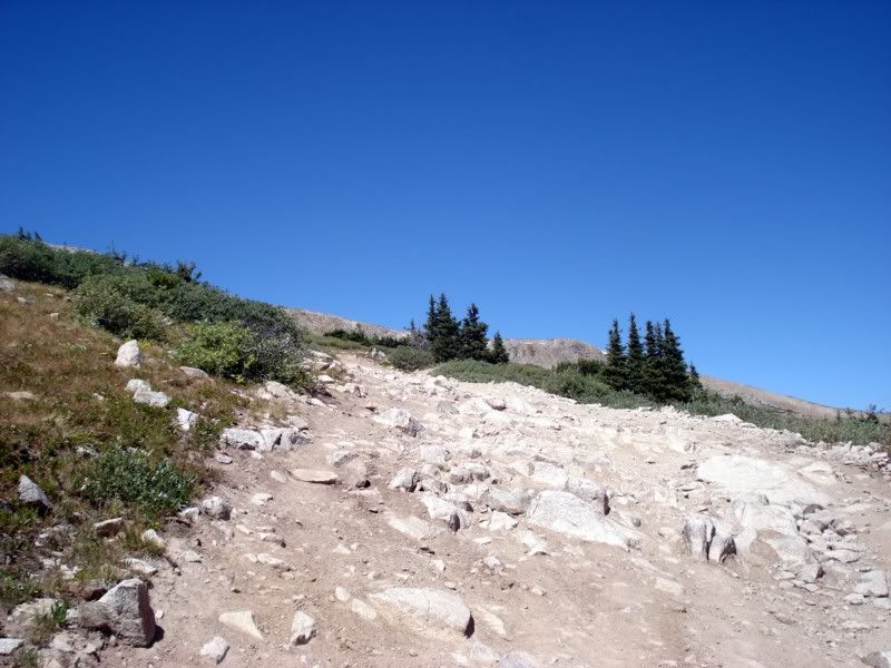
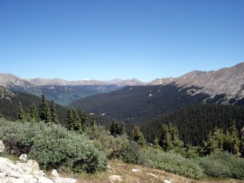
Nearly lost it as the bike pogo'd over two big ass rocks that I misjudged. The last mile or so was like this, and I had another half mile or so to go (going by how it felt, haven't looked at the GPS track yet). Now I'm stopped and somewhat trapped between two big rocks. I can get my feet down where the bike stopped thankfully, but if I start moving its all or nothing cause I won't be able to dab to keep it moving... deep breath... take another picture...
Ok, gun it! Up and over without much grace, but I'm moving vertically again. Thanks again for the new rear D606...
Success! Then... as I was backing up to take a pic of the bike in front of the sign, I trip over a big ass rock and fall flat on my ass. :lol: Fortunately Paul was there to grab my camera, tell me to stay put, and snap a pic. Orson fall down...
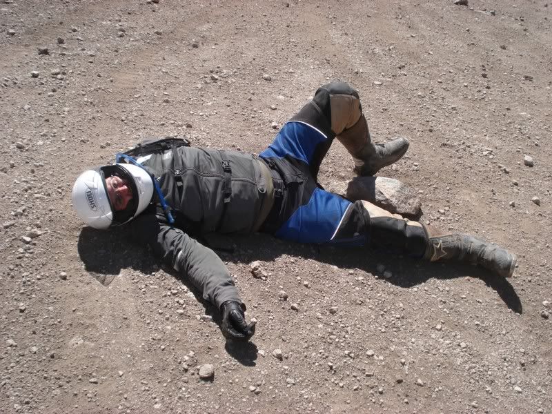
Made it!
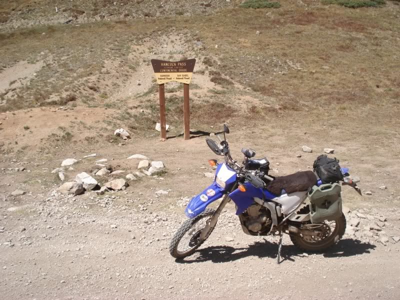
I'm a little tired, but excited. The hard parts over... right?
Ok, so where do we go from here? Oh, see that little ribbon of road on the mountain? Yep!
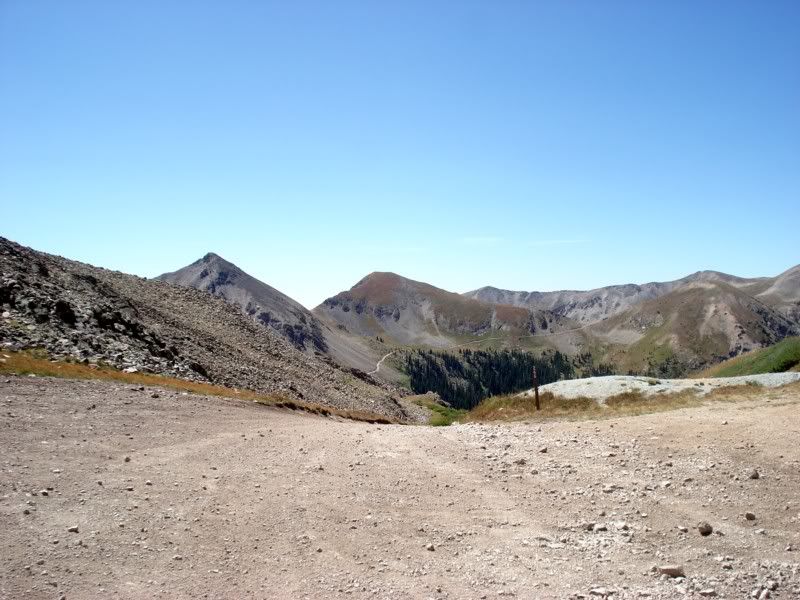
The descent from Hancock was more difficult than the ascent. Very few places to rest, very few places that weren't like this:
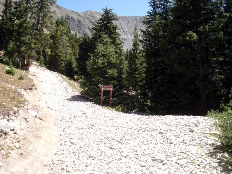
In general it was smoother "road", but it certainly wasn't a cake walk. Before the trip I added 4 teeth to the rear sprocket and to date this is the only place I felt I wanted it lower. It was just so steep and loose, when it comes time to change gearing again I think I'm going with a 13/46 or /45 and carrying a 12T for the gnarly stuff like this.
More rocks, one of many little creek crossings that were mercifully smooth.
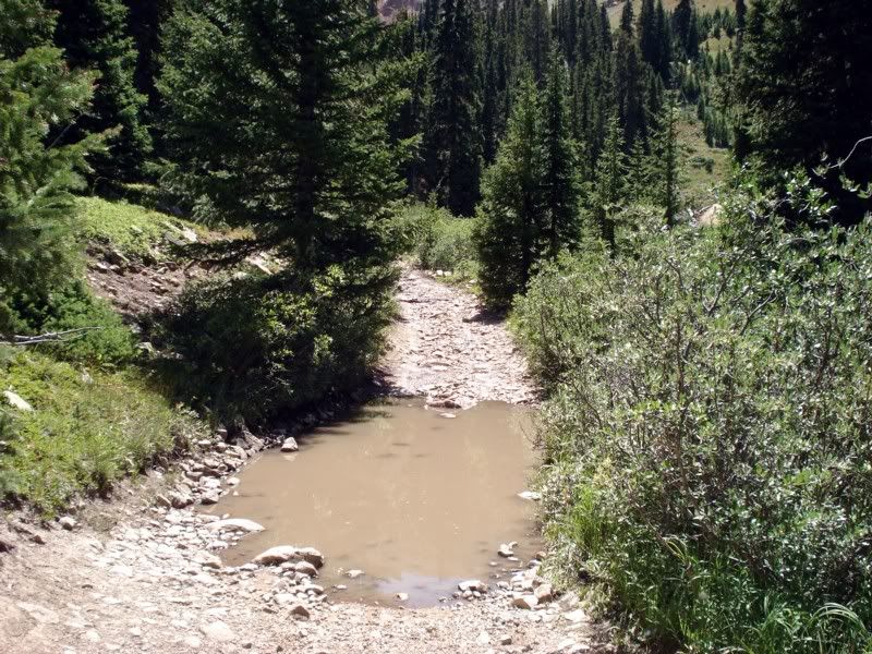
Ok, time to climb again. And... berkeley
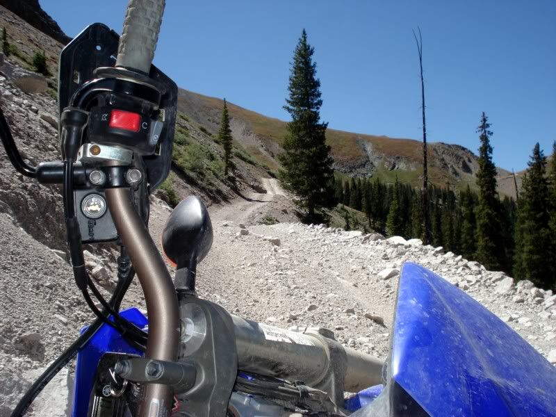
The cliff on the right had me trying to stay left and hug the mountain. The deep pea sized gravel on the left rut had other ideas and I washed the front end out. Got it back up easily enough, but this is where I decided to sell the rotopax rack after it tried to dig into my leg again. To those of you who ride off road with hard cases, well, you're braver or dumber than I am.
Up and over the hill, then down a little, before making the ascent over Tomichi. Looking back over a road "repair" to cover up a washout.
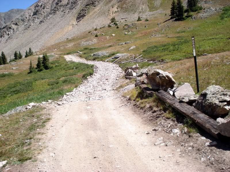
On the other side of the mountain, sorry I didn't stop at the summit of the pass but that really wasn't going to happen.
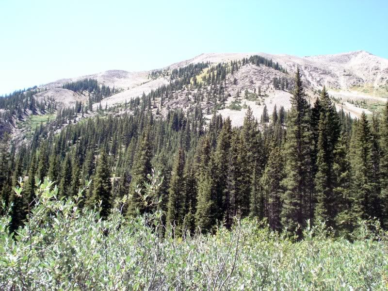
Getting smoother, and much lower in elevation...
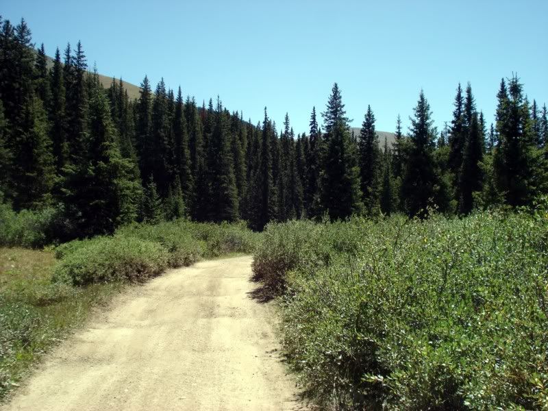
Made it to the Tomichi Graveyard... looking back again, NOW they tell me.
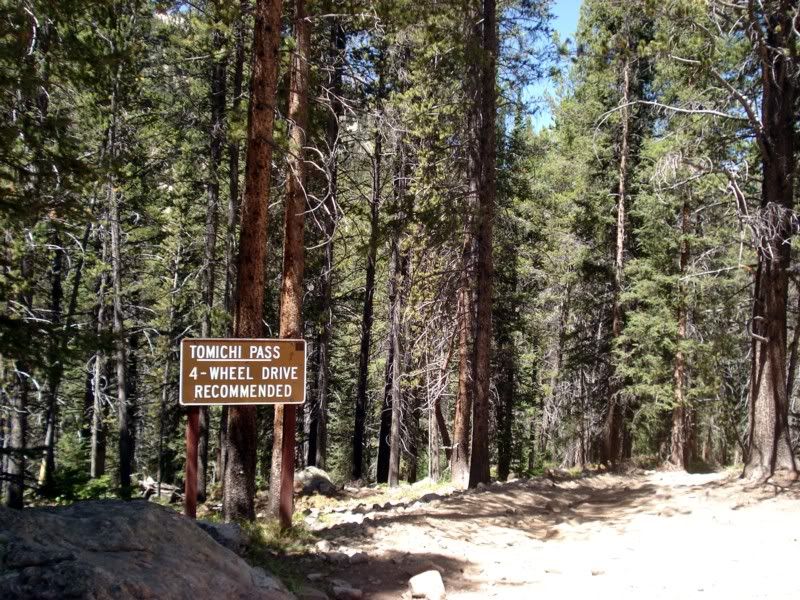
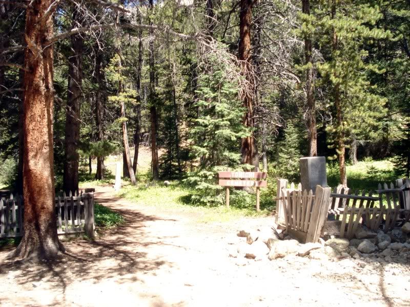
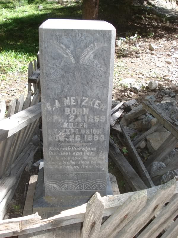
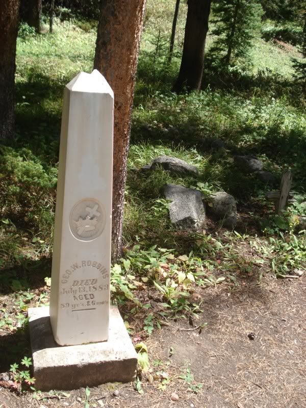
A closed mine on the road out.
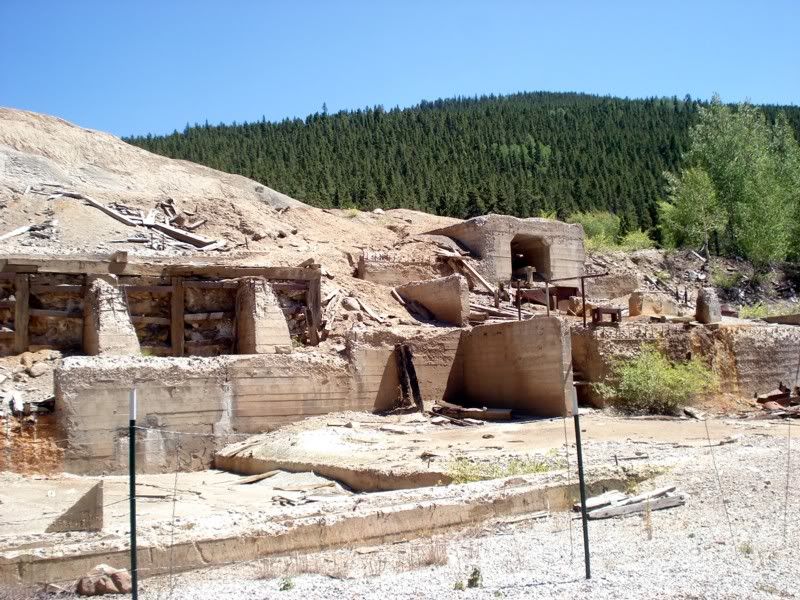
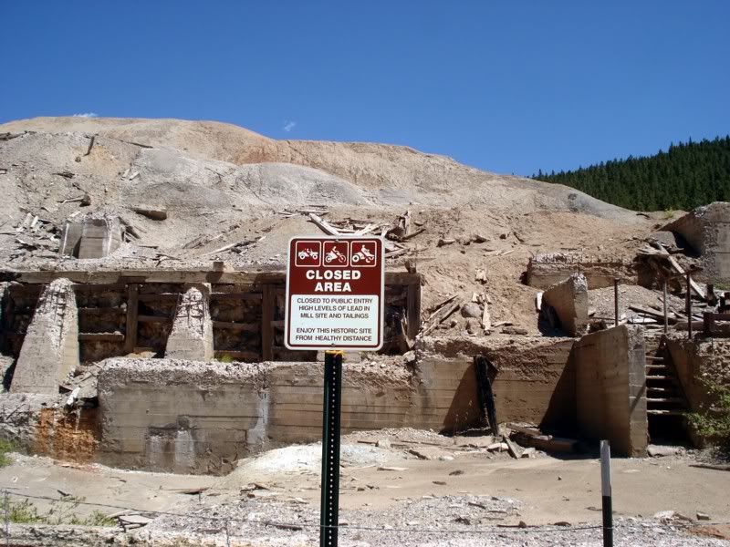
On the road to Sargent, no pics at the gas/lunch stop. Paul and I parted ways here, his road taking him to the Pacific and mine taking me back to the Atlantic. Keep an eye out for his RR!
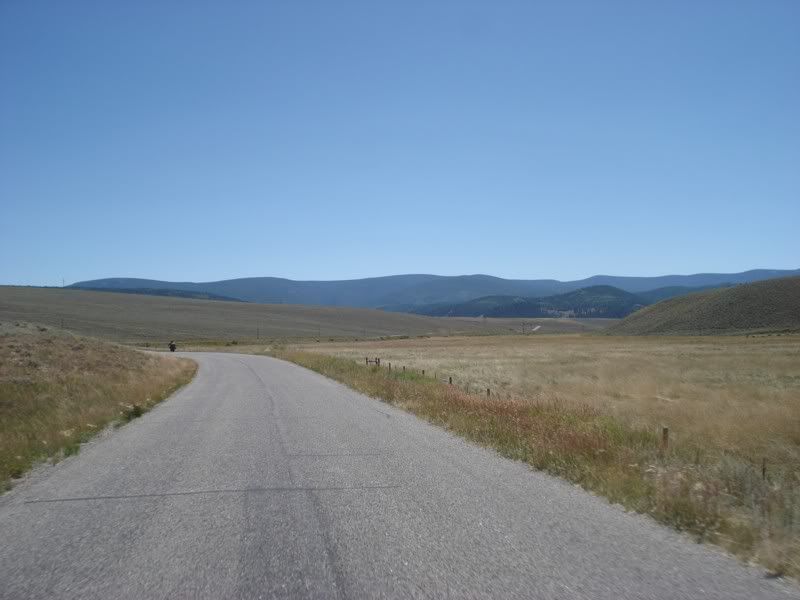
Think I'm done yet? Nope! There's two more passes I want to hit... on the road to Marshall
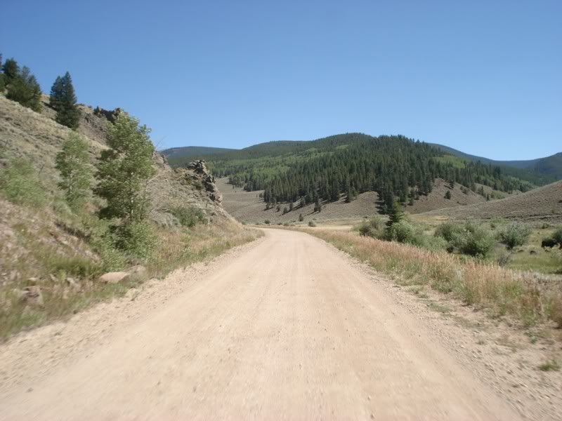
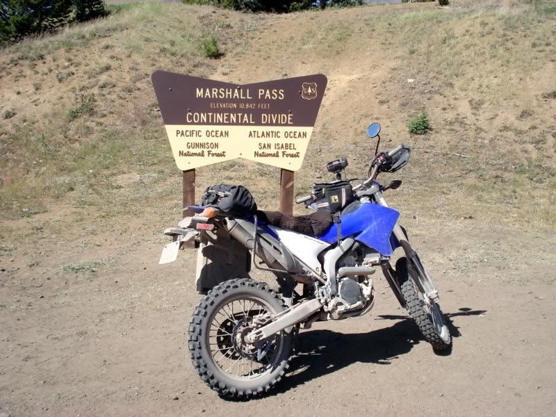
Marshall was so much easier its not even funny, and its still a quite scenic and fun ride. Unless you're a DAMN good rider or a glutton for punishment, don't go over the others with a big bike.
Coming back down:
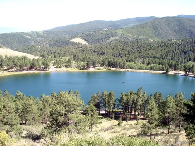
Back to Salida to make some plans. Took advantage of the help of another forum member and stopped by Hayduke's shop to grab my street tires that I was going to swap out too the next day at another inmates house (RAMZ).
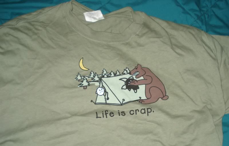
Gotta love the Life is Crap T's, I had to buy this one
Ok, daylight's fading... but I think I've got time. Lets do one more... Onward to Tincup, mush!
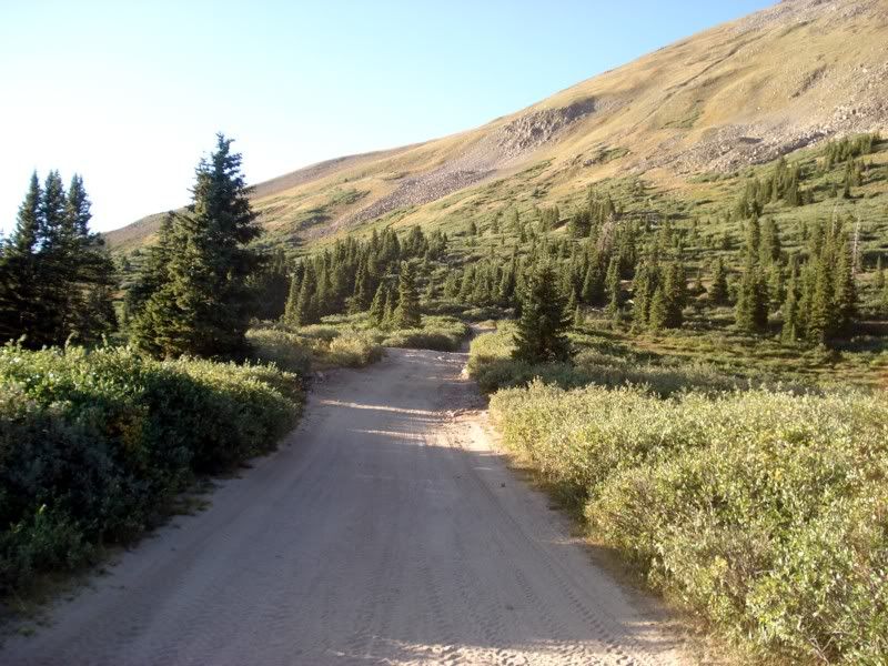
It was also pretty easy, at first. Then you make a pretty hellacious climb and pop out above the treeline into an alpine moonscape. I dropped the bike up here too, same deal as what happened on Hancock.
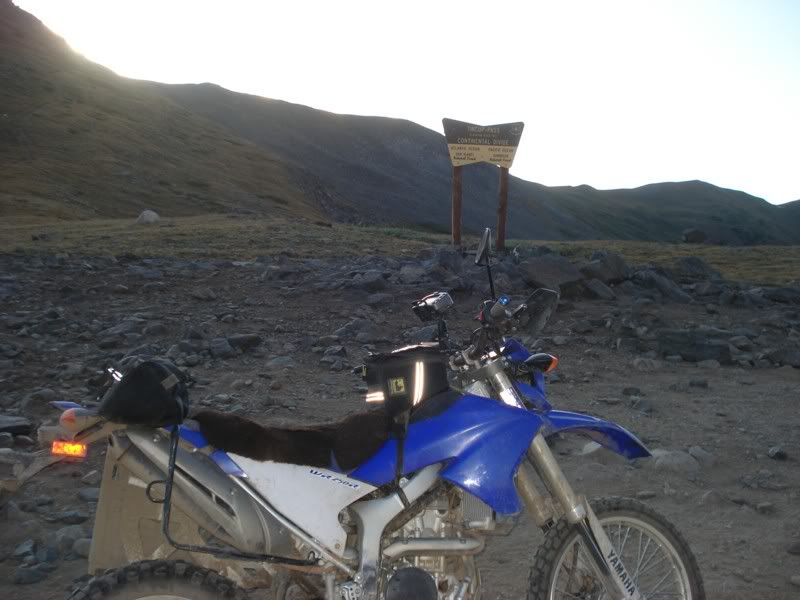
The road to Tincup...
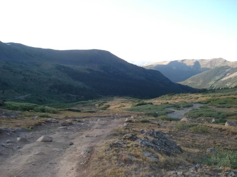
but thats as far as I got. Two reasons, one it was getting dark. Fast. I did NOT want to get stuck on top of a mountain after dark. Second, these signs:
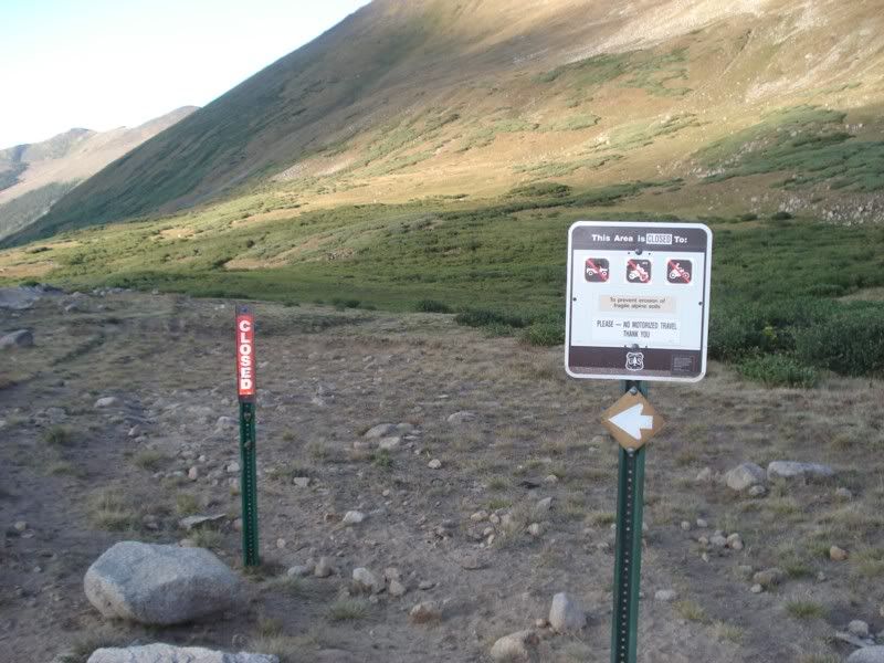
Not sure if it was referring to the area directly behind or the road itself, but I decided to err on the side of caution and head back to Salida.
So long!
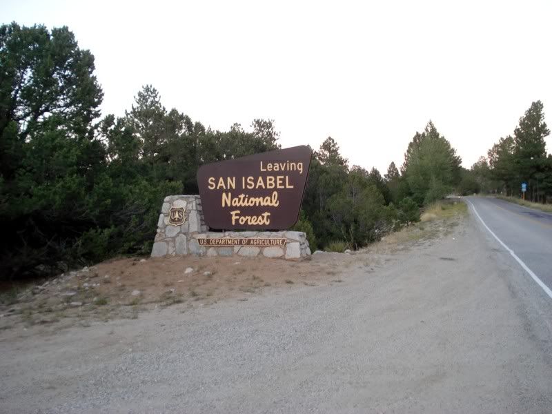
Back to Salida to meet my dad for dinner and rest up for tomorrow's maintenance and short ride
So, some reflection... Hancock and Tomichi passes combined are the most difficult pieces of road I've ever ridden. I've done worse around home, but at 8000 feet less elevation and not some 40 miles of it. This day was erring a little close to work on the work-fun scale, but it was still a blast to ride it. Additionally, these trails got me rethinking my gear setup start formulating a plan to drastically reduce weight and bulk. The experience of the next few days really crystallized it...
Day 15 - Maintenance, Phantom Canyon, Mining Towns
Of course, like an idiot, I forgot to take my camera with me to Ramz's (another ADV inmate) house to do some much much needed maintenance. The night before I cleaned my air filter again because it was filthy after just over a thousand miles of sand and dust (last time was at HF's). In the morning I made a run to the Yamaha dealer near Salida and picked up 2 quarts of Yamalube and a 14T front sprocket to make the ride back easier, then picked up the tires (Kenda K761 for the road ride home) Threw the tires over my shoulder and rode out, of course getting there a little later than I expected. Did a MUCH needed oil change, Ramz was generous enough to change the tires and show me around his fantastic garage. Sorry about the oil spots again... got all buttoned up around 2pm, loaded up and rolled out of Salida on US 50 East.
Into a nice stiff headwind of course. I was very happy to have the 14T as the new rear tire was significantly shorter than both the D606 and stock deathwing, gave me enough gear to pull into the stiff headwind but still cruise at 65mph comfortably.
Looking back on US 50...
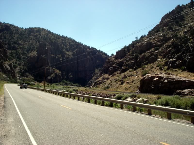
Further along.
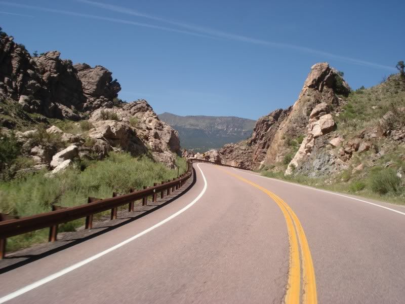
further still.
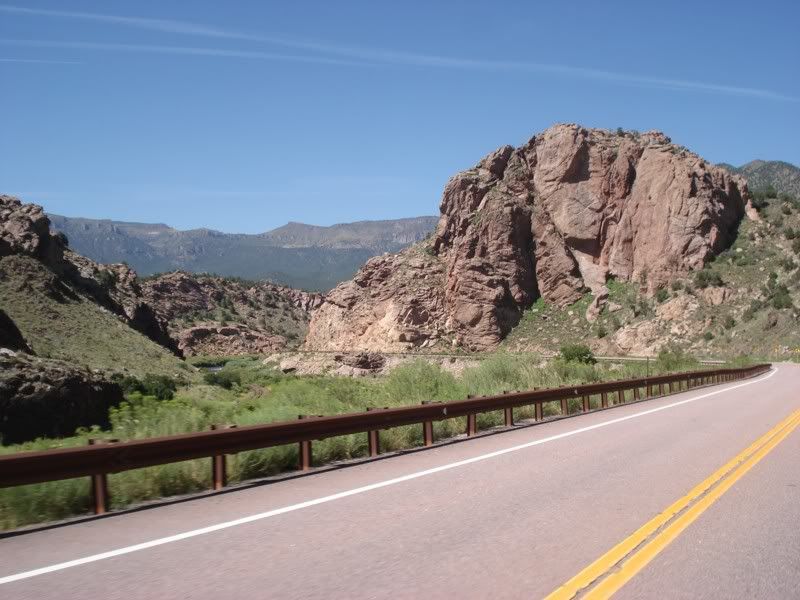
Made a quick pit stop in Canon City for gas and lunch, then headed out to Phantom Canyon on CR-67, which follows the old railroad grade to Victor and Cripple Creek.
Now thats a good sign
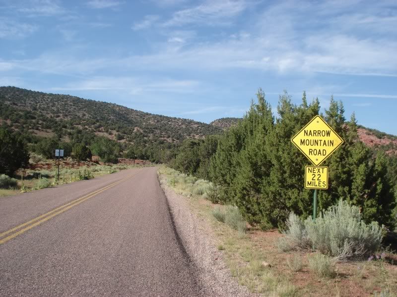
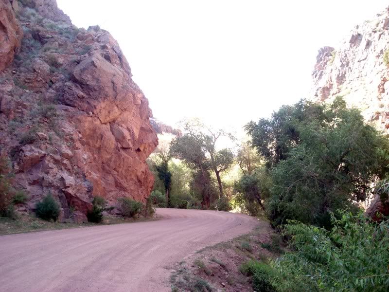
A short bit later, the road turns into a beautiful and smooth gravel road and heads into the canyon. There was some traffic, thankfully RV's are not allowed.
The first of several old rail road tunnels
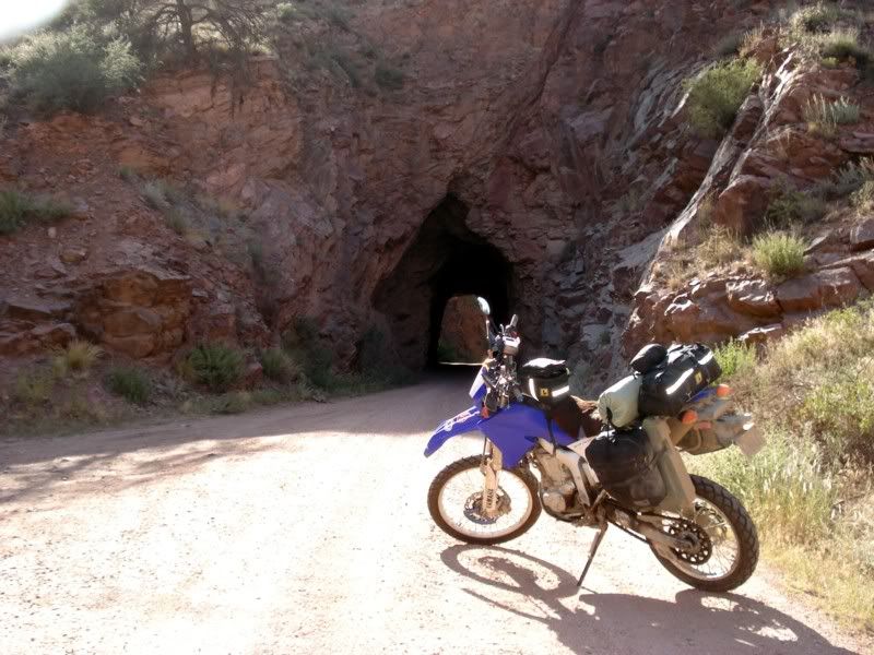
The whole ride was just stunning.
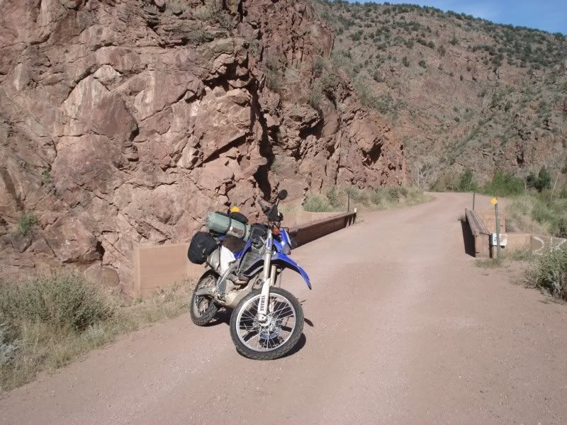
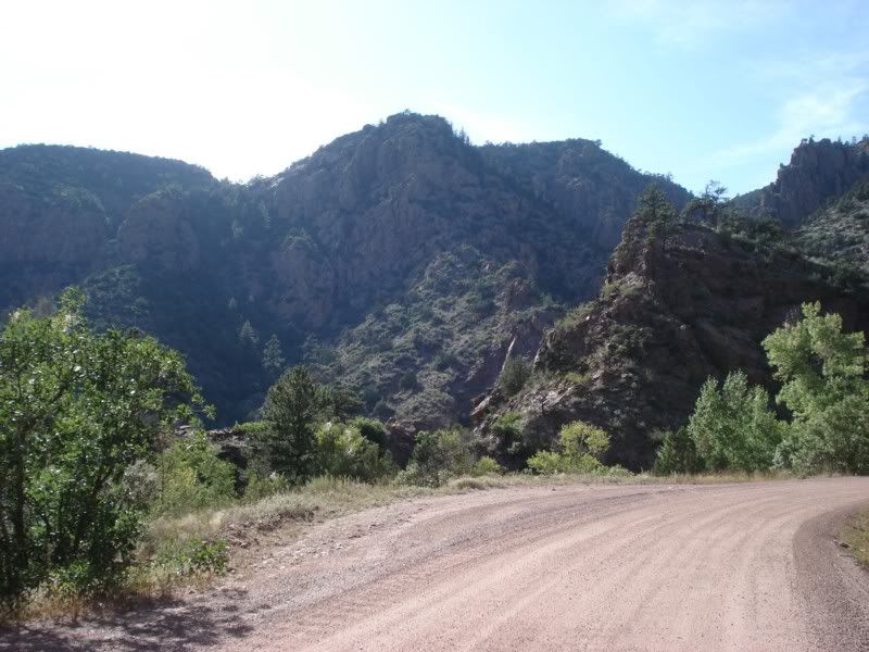
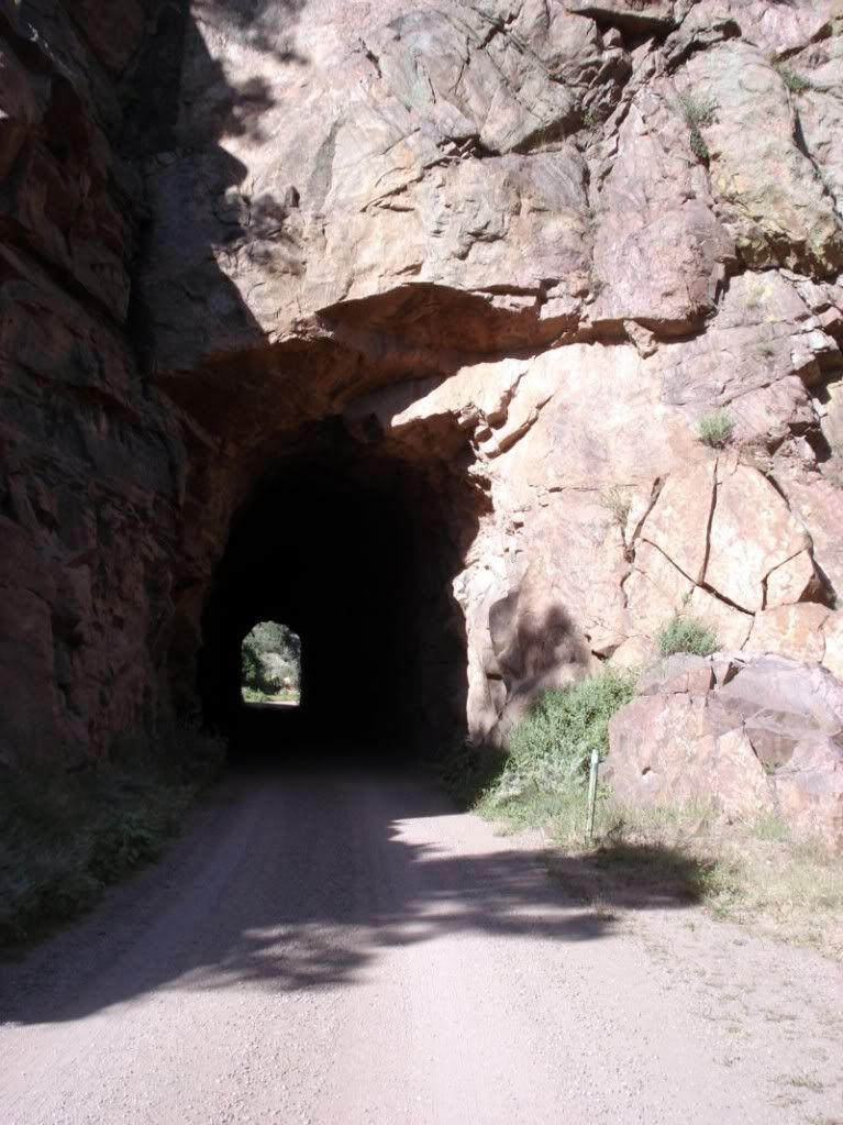
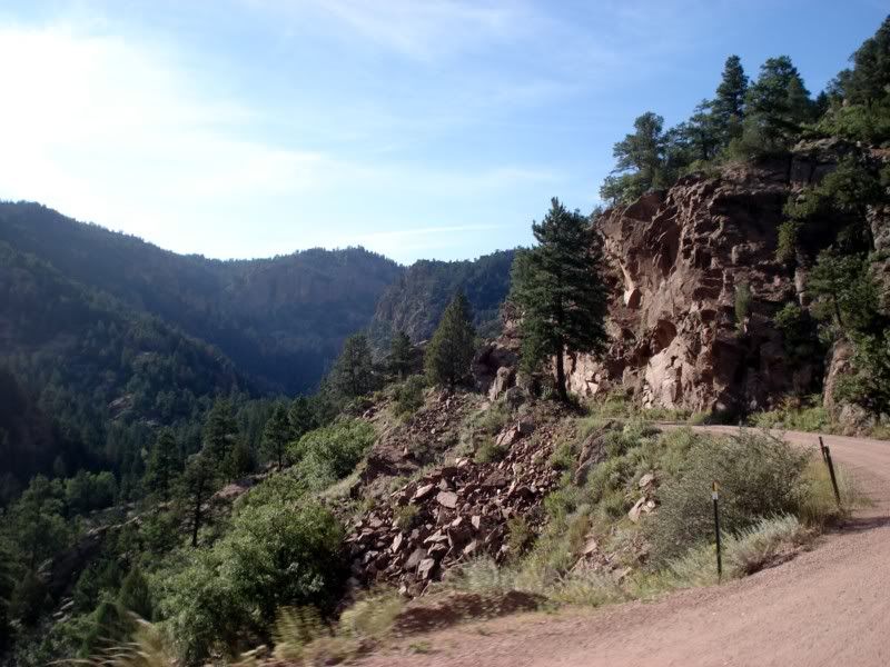
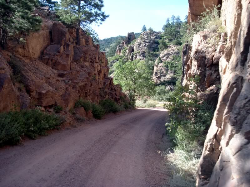
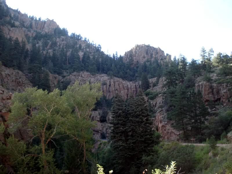
After the last pic, the road curves into this narrow gorge that was one of the most beautiful places I've ever seen. Just like on the plains, I just had to stop and soak it up. Once I cut the motor, pulled the helmet off, and took out my earplugs, the only sound was the slightest trickle of the creek running beside the road.
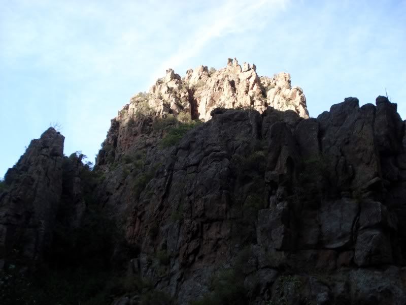
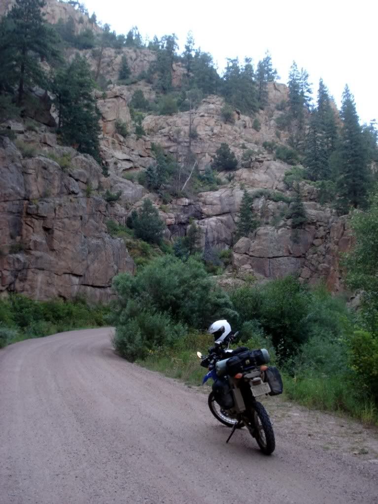
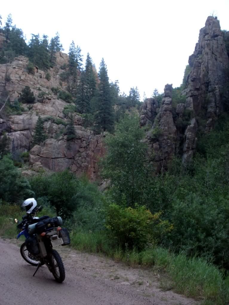
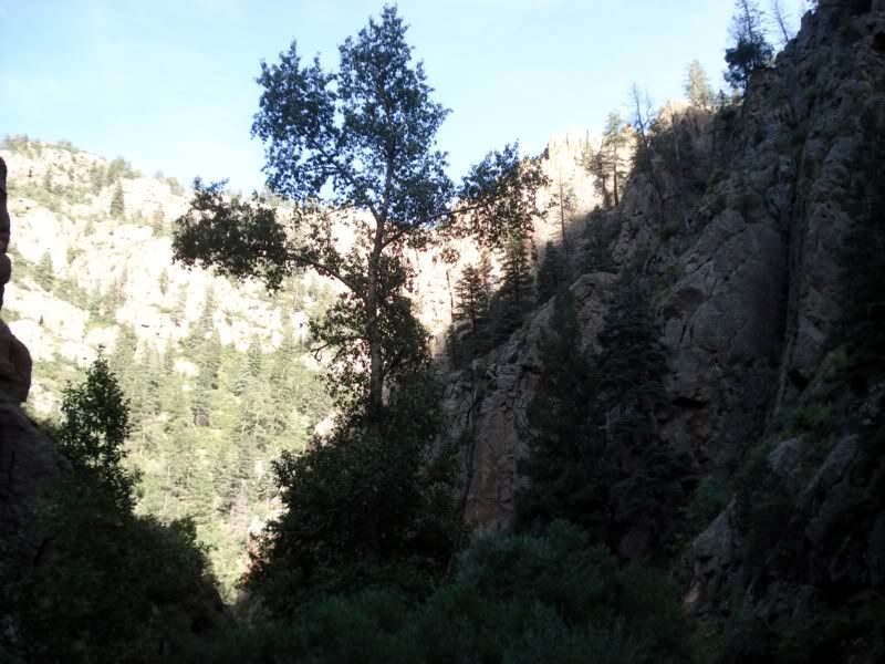
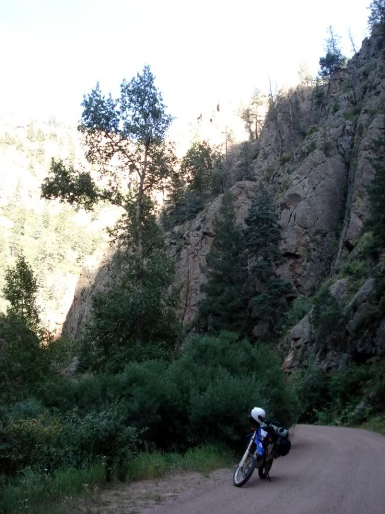
I was unfortunately snapped out of my reverie by a Dodge Ram roaring around the corner and tearing off in the direction I was headed. Oh well, its starting to get a little late anyways.
Approaching the old mining town of Victor
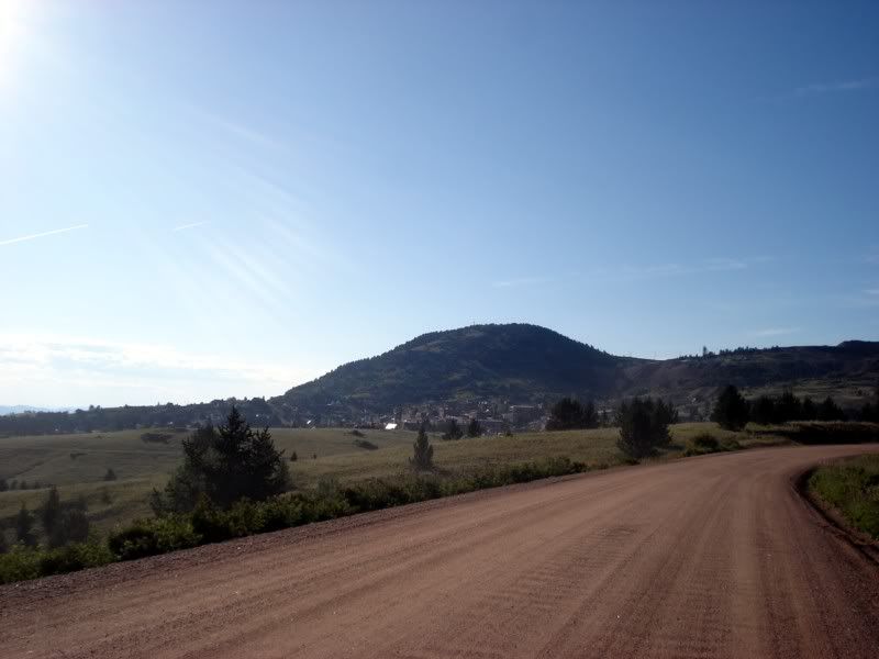
Old mines were everywhere!
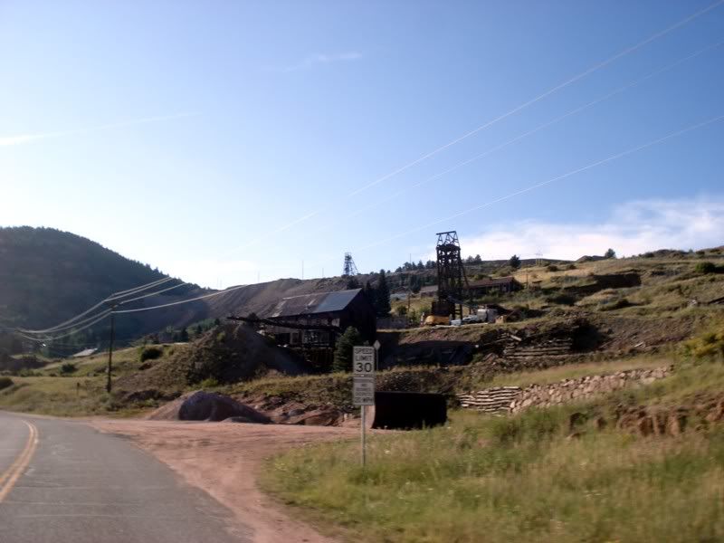
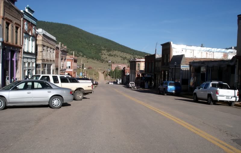
Downtown
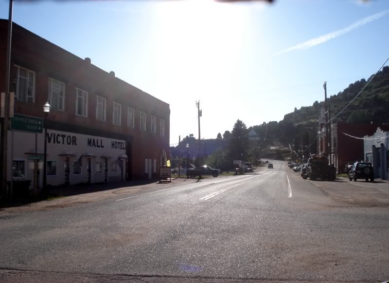
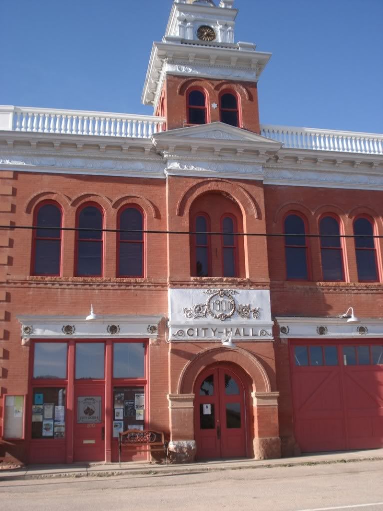
City Hall
More old mines, there were easily dozens of these scattered through the surrounding hills
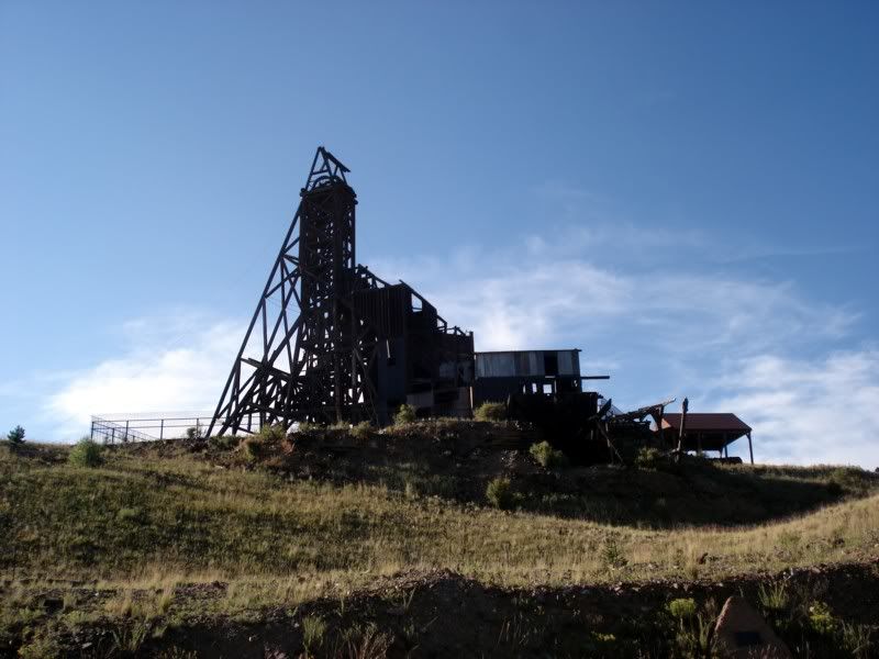
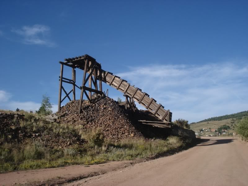
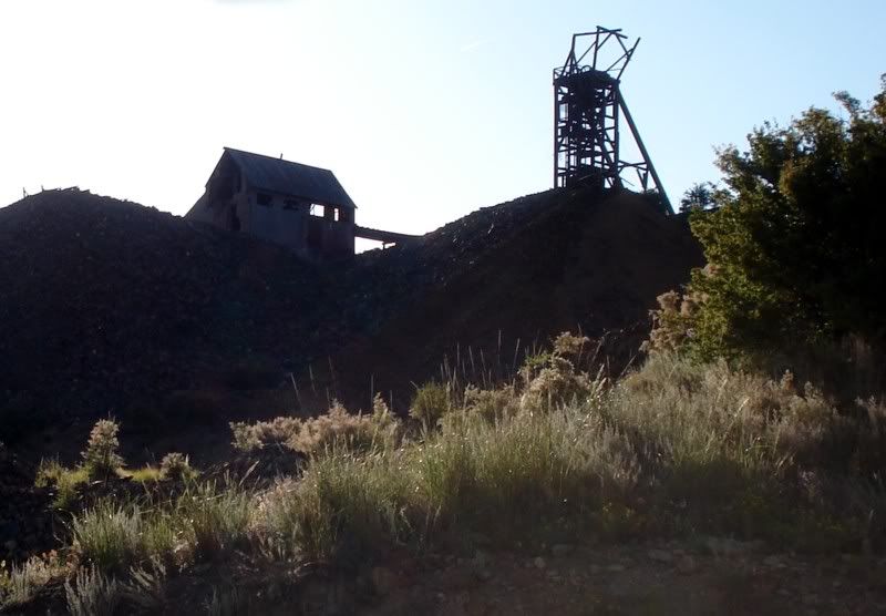
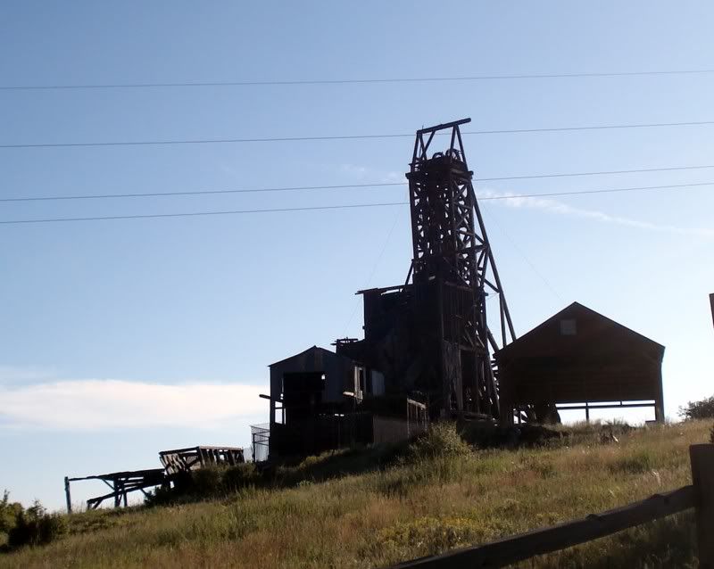
Leaving town... there still be gold in them thar hills! No really, thats part of a very active gold mine.
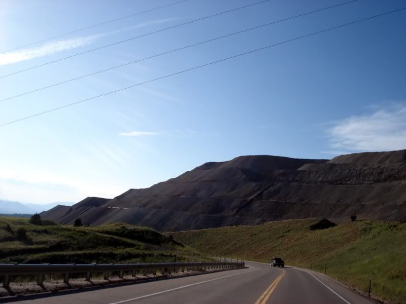
Approaching Cripple Creek...
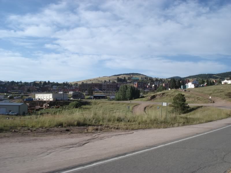
What a disappointment, very touristy and main street was nothing but casinos and cowboy or miner themed bars. Not my speed, I was happy to be out of there quickly.
One last mine on the hill over looking the town...
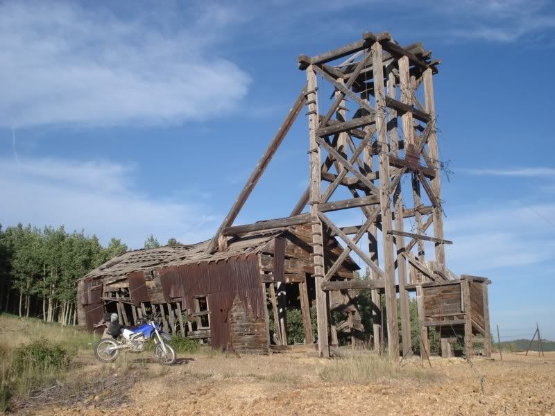
Looking back
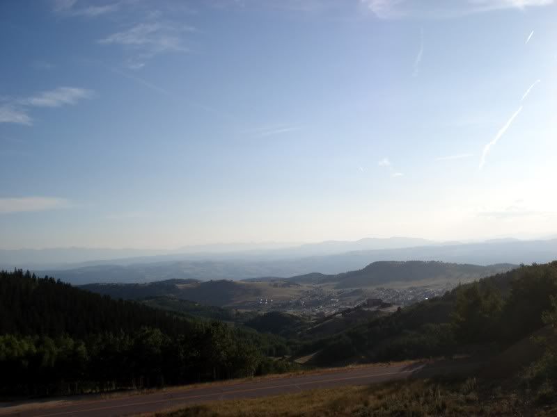
From there, I rode up to Mueller State Park to meet my dad again and camp for the night. I was in for a rude surprise... though the campground had plenty of wonderful trees to hang the hammock from, they did not allow you to tie anything to trees for fear it might damage them. Never did I ever think I would be in the woods and not be able to use the damn trees. Set the hammock up as a bivy by tying it to the picnic table and a big rock and slept horribly on the ground. Also, because the campground was just over 10,000ft in elevation, it got quite chilly at night. Fortunately my REI Halo +40 bag was up to the task and I stayed nice and warm.
Tomorrow... top a 14er! And a major disappointment...
Day 16 - Pikes Peak to Golden to Limon, Co
Up late-ish, mainly because the purpose of the day before and today was to take it easy and rest up for the run east to home. But first lets get high:
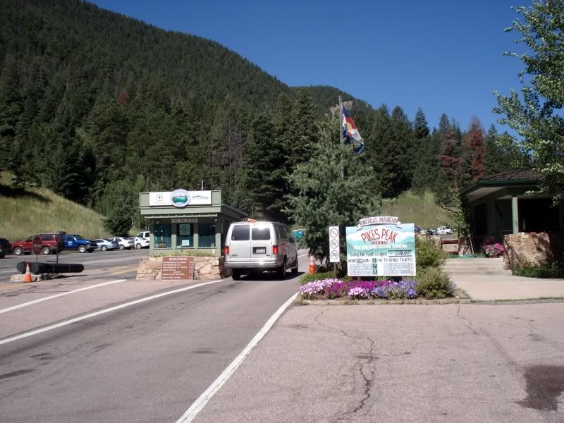
My dad and I went here on a trip we took when I was about 10 years old. We didn't drive up then, instead took the cog railway. Now, 16 years later, we were back to have another go at the mountain and see what changed. I also really really wanted to ride the highway after watching some videos of the Pikes Peak Hill Climb this year.
Passing the resevior
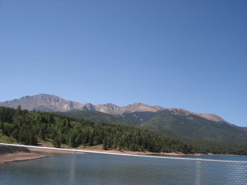
On the way up, I mainly rode and tried to have a good time when I wasn't stuck behind one lumbering vehicle or another or a herd of Christian bikers on cruisers who didn't seem to have a terrible amount of dirt riding experience, so not many pics from the way up. Except this one... getting up there!
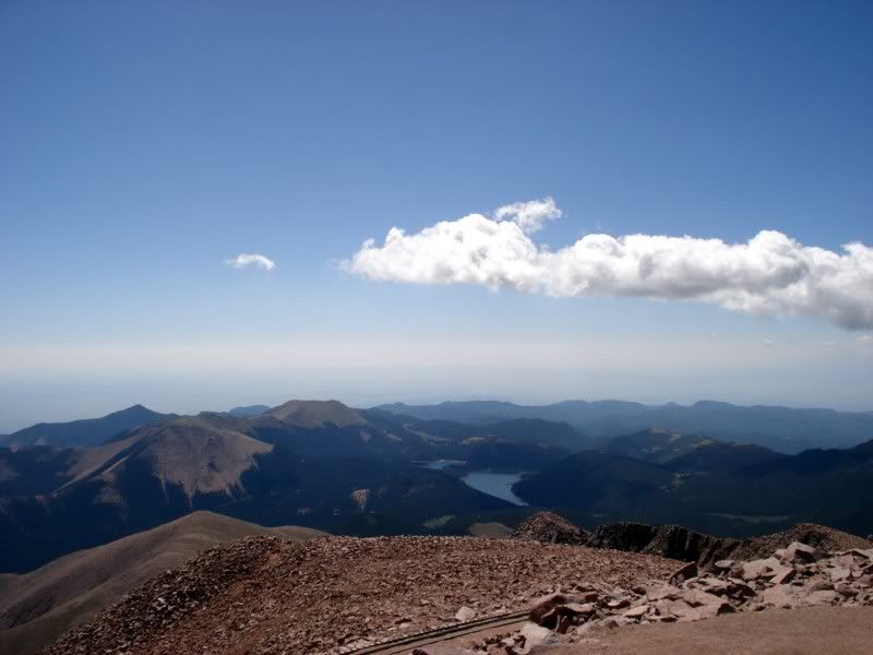
I ended up stopping to check on one of the bikers on the way down... they had a flat tire and managed to not fall off the mountain muscling a 800 pound bike to the small shoulder. Offered to help, but none of us could figure a way to get the bike up in the air on the slope. The caught a ride with another one of the group and got a truck up to get off the mountain.
The summit!
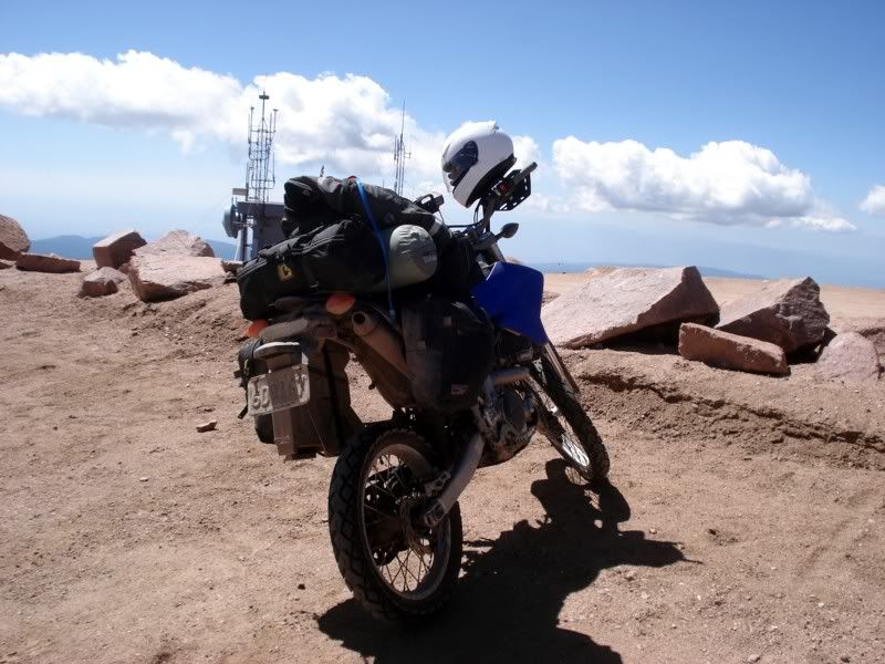
There was also a ADV-type bike rally there that day in addition to the Christian bikers, I think Rawhide Adventures? Lots of GS's, a few KLR's and even a DR650. I was the smallest bike up there, and given the nature of the tires and the sheer amount of cleanliness on all the bikes, I had to wonder what kind of adventure it was.
The more you know?
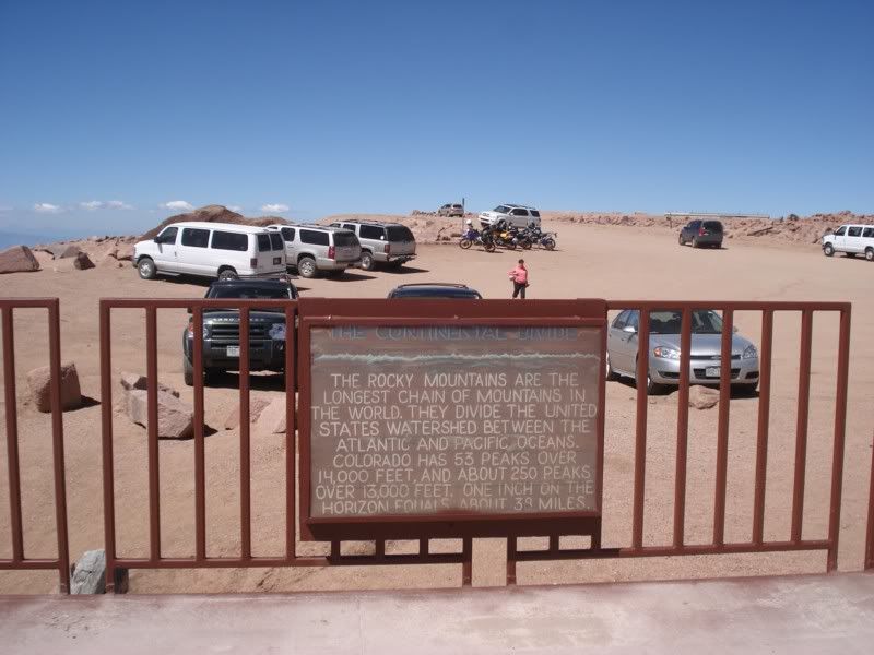
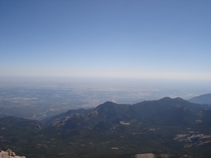
Oh beautiful...
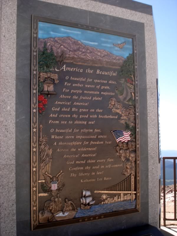
The song's right...
Your's truly.
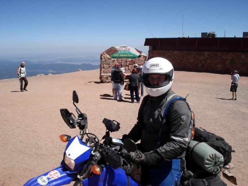
So how does the bike run up there? To be honest, not as good as it did several thousand feet lower. It was definitely down on power, even compared to what it had two days prior at ~12,000 feet. Thats not to say it was running poorly, it was just weak compared to normal which is understandable. Frankly, I'm definitely not concerned with its performance anywhere at any altitude or in any conditions now.
Coming back down
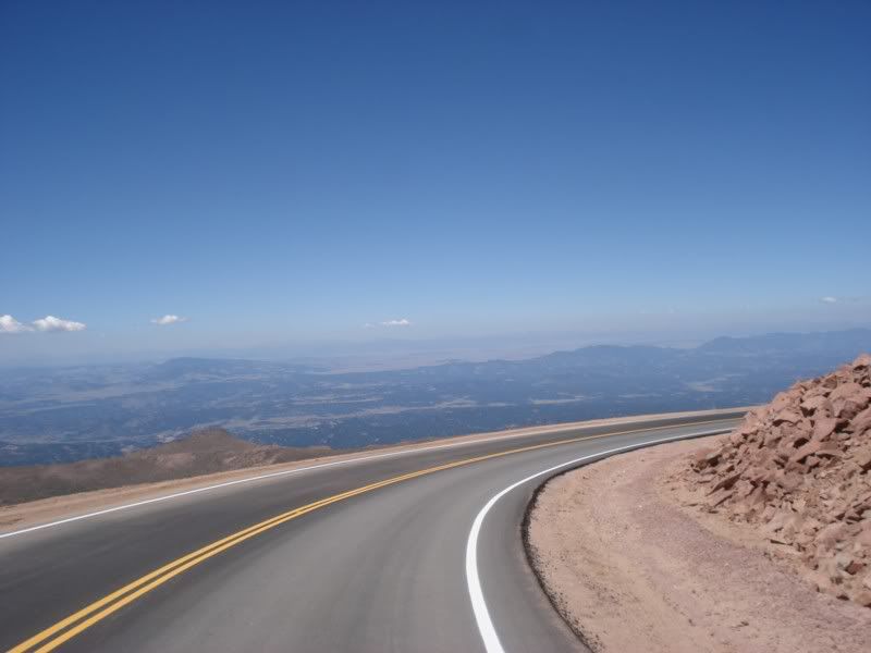 ]
]
Just a little further...
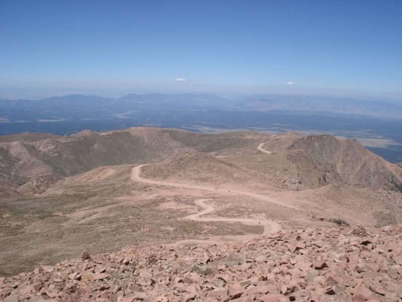
More traffic...
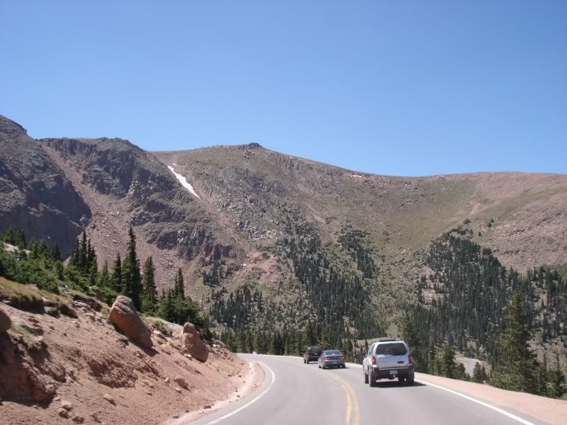
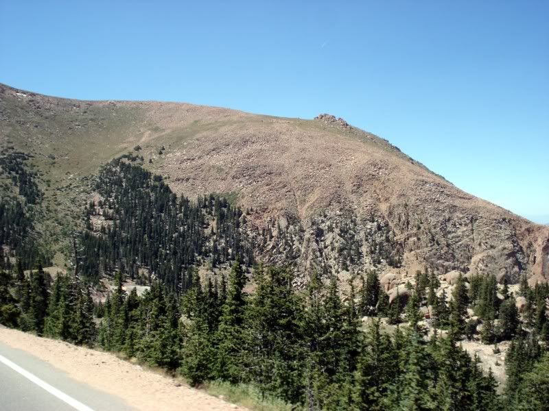
I liked the mandatory brake check at the ranger station where they were actually using an infrared thermometer and stopping people whose brakes were over a certain temperature. There were definitely people who needed to ease the hell up and let the car roll a little as the smell of fried brakes was foul in the air. Fortunately the ranger took one look at me, chuckled, and waved me through without looking at my brakes. I guess no one's concerned about a dirt bike.
At the gift shop at mile 8? my dad and I parted ways. He was headed west to Washington after a tour through their wine region and I was headed east for home to start classes. Wished me a safe trip, wished him the same, said our goodbyes and off we went. Hopefully one day we can actually do a whole trip together instead of just a few days...
Well, it wasn't quite time to head for home yet for me though... I had a friend from high school who moved up to Golden. So, lets go get a beer! On the road
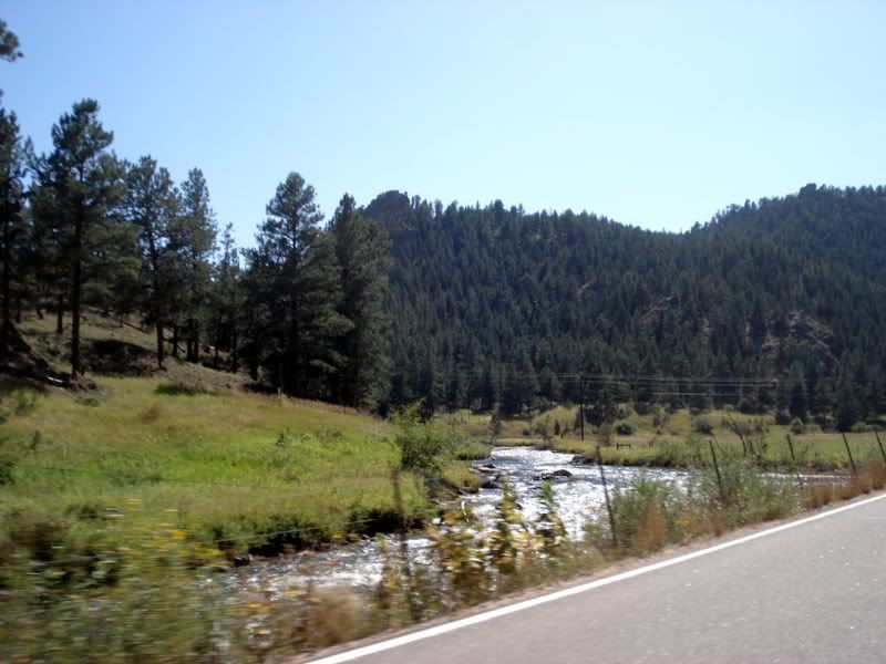
Woo, made it!
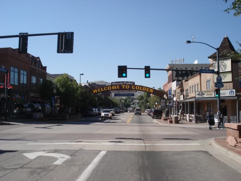
Uh... problem. Gave her a call as I got into town. She neglected to tell me that she was going to Europe, and was in the airport about to board her flight as I got there. This was someone I thought was a pretty decent friend back in the day, so this stung pretty badly and I took it pretty personally. C'est la vie...
berkeley it, lets motor. Get me the hell out of Colorado. Of course, its rush hour, and the good citizens of Denver really just don't seem to have a goddamn clue on how to drive in traffic. Eventually broke free and headed east on US 40 East, about 1500 miles west of where I had picked it up on my last trip home from Put-In-Bay Ohio in May.

On the road...
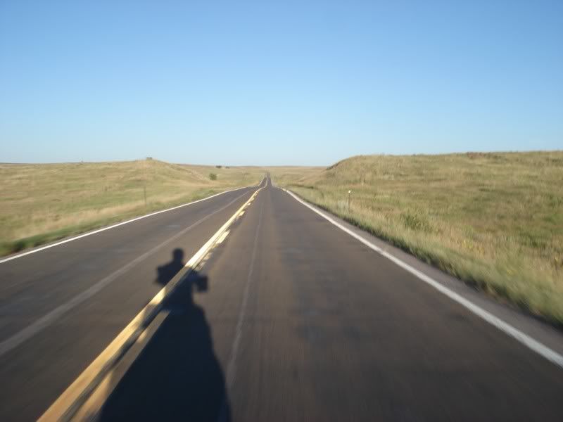
Made it as far as Limon, Co before it started getting dark. Ate dinner, got gas, and started looking for a place to stay... I was tired of hotels. I was tired of campgrounds. I ended up pulling off 40 onto a side road and found my way onto a field that had a cluster of trees and stealth camped for the first time. First time I had a perfect pitch on the hammock too, which is good considering I was hoping to be partying with a "friend" about the time I was falling asleep in some farmers field. Ah well...
And then it struck me... I really need a drink. A strong drink. And there's only one place in America I could think of going to get it...
Day 17 - Into Kansas
This may have been my favorite night out in the field in the hammock. The weather was cold, but crystal clear all night. I was well off the road, back in the middle of a small cluster of trees in the middle of a fallow field. The ever present ebb and flow of the prairie winds gently rocked me to sleep, spent the night swaying above the tall grass and with the two large trees that comprised the foundation of my home that evening, and woke as the colors around me change from the darkness of night into the delicate shades of early morning as the sun began to creep into the sky to start the day. Got dressed, deflated the camp pad, stuffed the sleeping bag into its stuff sack, packed the hammock into the snake skins, stuffed everything back on the bike into their respective homes, and was away within about 30 minutes of the sun breaking the horizon with no trace that I was ever there. Perfect.
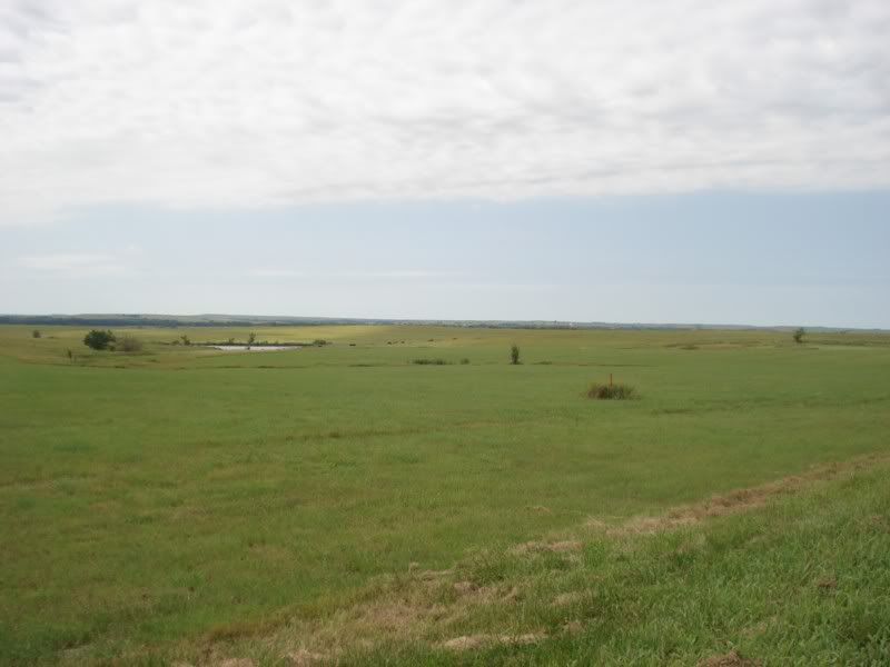
Have I mentioned how much I love the great wide openness of the plains yet? No? Well I frickin' love it.
Back on the highway (still US 40):
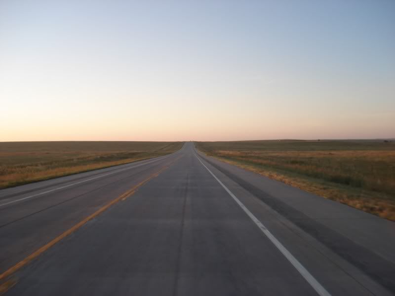
The first couple towns seemed to basically be abandoned or not open yet, unfortunate as I was pretty hungry and looking forward to stopping someplace with coffee and hot food. First place I came across with such amenities was Kit Carson, CO. The trading post was all that was open, and the only place there seemed to be, so the choice was easy.
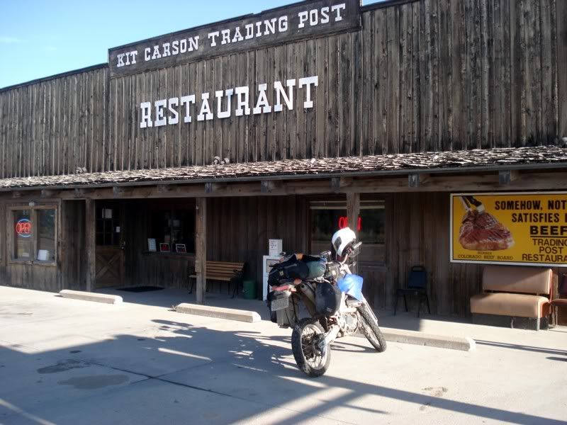
Great food, good coffee, and really nice people inside, stop by if you're there one day. By the way, did I mention it was cold out? I had my cold layers on underneath my rain gear trying to keep warm, but the previous nights gentle winds had found new strength with the new day. Oh well, nothing to do but keep the fingers wiggling and hope for someone to turn the heat on...
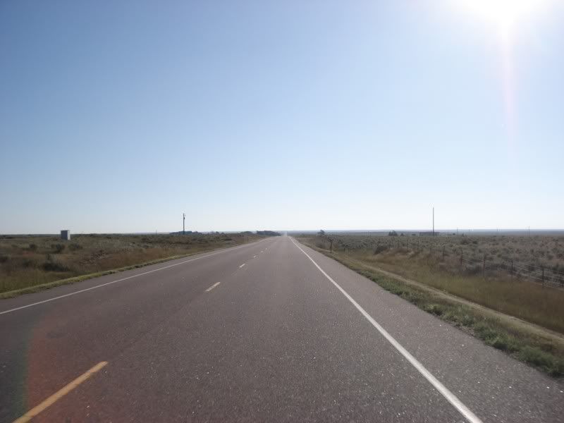
Stopped at a little roadside history slash rest area.
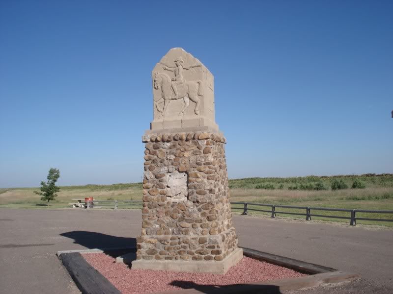
I always think its neat that these easy to drive and navigate highways, especially the major east-west US routes follow the original trails west first blazed thousands of years ago by migrating herds, followed by the Native Americans, and eventually the first white settlers. Still, its hard to ignore the starkness and vastness of this great American landscape.
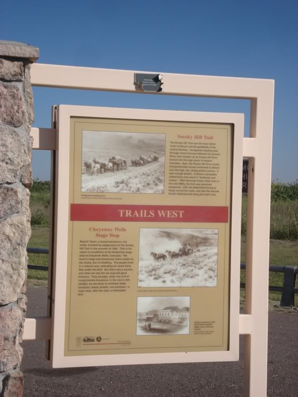
The winds were simply terrible most of the morning, coming directly from the south or slightly to the south east nearly all day. Unfortunately as US 50 East was my intended way south as US40 ends up co-signing with I-70 for much of its length, that meant a nice 60 mile jaunt south directly into it. Not a ton of pics of that transit because of the wind, but I did get off the pavement for it and pack on to the gravel/sand county roads. Fortunately it did eventually warm up into a quite nice day and I was able to pack my cold layers just before noon.
Once on US 50 I started seeing signs for Garden City that make it seem like quite the destination and seeing signs advertising the Garden City zoo. Check the Garmin... hmm I'm making fantastic time... Screw it, I haven't been to a zoo in years, lets see what they got out here.
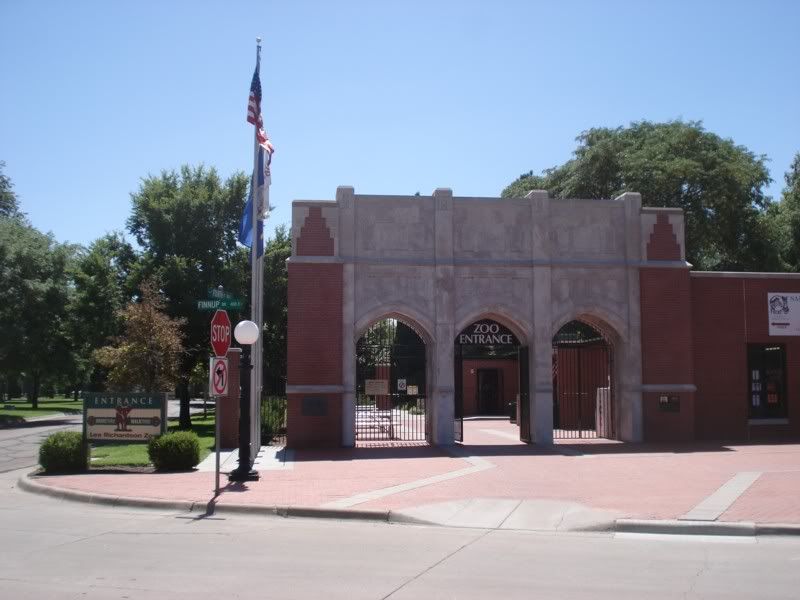
First nice surprise: It's FREE! Second nice surprise: not only are the grounds pleasant the facilities much appreciated, they also have a ton of cool stuff.
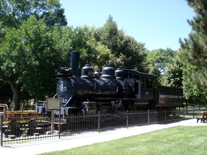
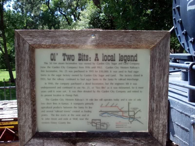
Third nice surprise: this is a serious zoo! The Rhino:
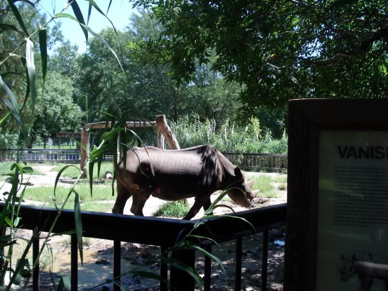
A great sign on the lion cage:
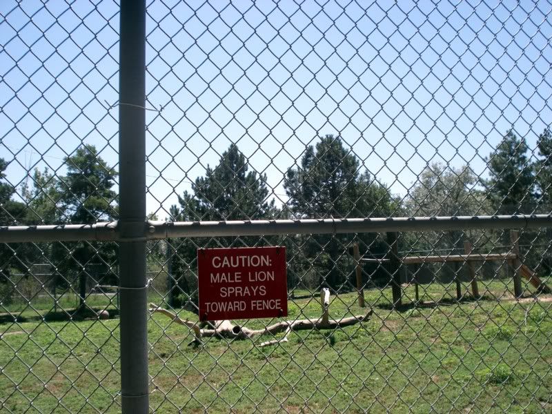
Fortunately he was sleeping on the other side. :lol: They had a damn decent collection of very rare animals, especially big cats. Unfortunately for the cats but fortunately for the visitors, they were in pretty small pens and therefore easy to see up close. Snow leopards, several jaguars and leopards, a Siberian Tiger, a couple lions, and more. They also had a breeding pair of giraffe's, some of the few remaining Pere Davids Deer, several camels and a bunch of other cool animals from all over the world. Definitely more of an old school "Go see the animals" type zoo, it was a nice place to wander around for about 2 hours.
On the way back to the bike, I saw this memorial bench...
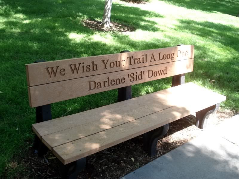
Thanks Darlene, I hope to.
Another neat historical marker...
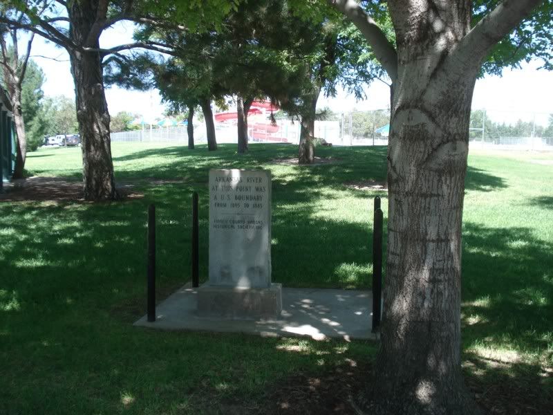
Yes, that said I was standing on the banks of the historical Arkansas River. The river was no where to be seen however, as a century of agriculture and irrigation has catastrophically altered the aqua system of the region. There was actually a large exhibit on this at the zoo describing the massive environmental impact of the farms that surround the town have in very clear and refreshingly fair and realistic terms. Kinda scary when you think about how much food this region provides for the world...
Back on the road, US 50 continues to follow the Sante Fe Trail that I had first joined south in Oklahoma and west in Colorado on the TAT.
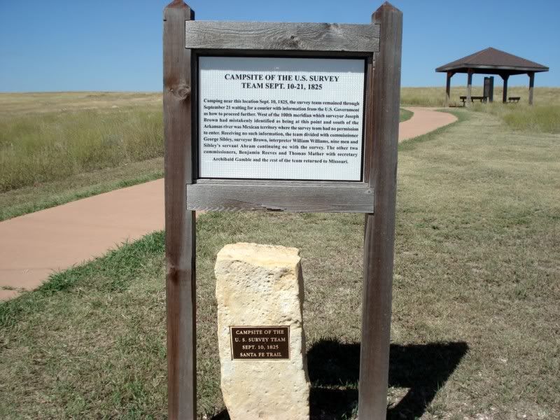
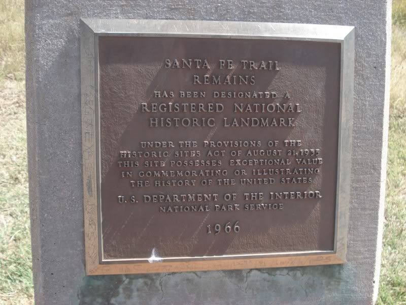
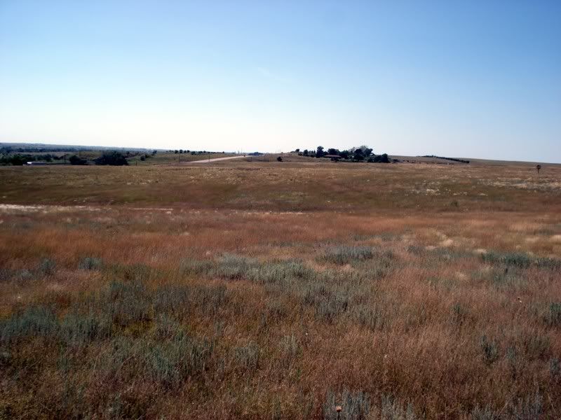
Can you see the ruts? I sure as hell can't. Still, I can barely imagine the courage of the folks who originally ran the trail in the 1800's. <img src="http://i209.photobucket.com/albums/bb84/skierd007/TAT%20Trip/Day%2017%20Into%20Kansas/1737.jpg<img src="
Dodge City!
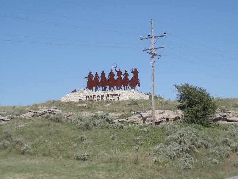
What a disappointment. They're trying a little too hard to squeeze the toursit stone there, very artificial. It was cool to see the original old building that made up the historical downtown, still there and still in use just as they were a century plus ago... filled with regular boring stores and restaurants. Not needing my nails done, a pawn shop, check casing, or chinese takeout, I kept moving.
I did eat at a cool little local bar called Kates, a little off the beaten path but great food for cheap. Beer specials were pretty good too.
Fort Dodge
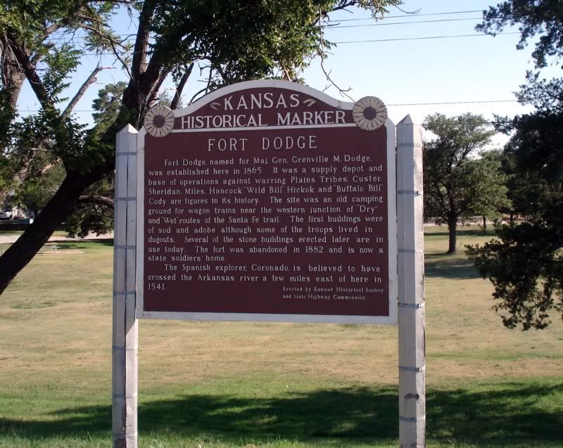
More about the trail...
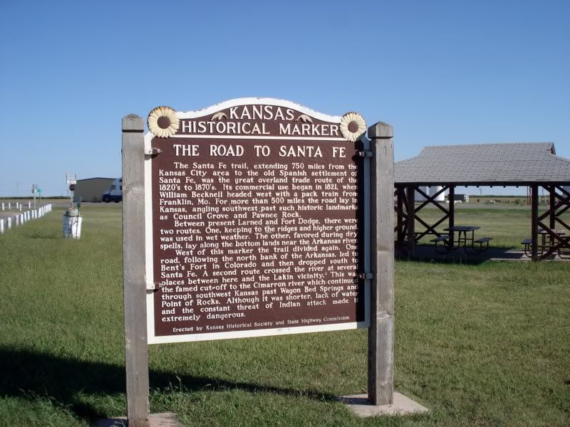
This wind... this devilish, demonic wind... as I came up on this...
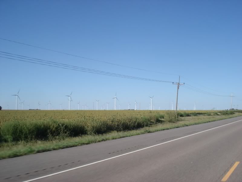
WHY AREN'T THERE MORE OF THESE OUT HERE!?! This was the first and only wind farm I passed, but damn of the wind hadn't blown all damn day and night on the way across Oklahoma just over a week prior, and damned if they didn't blow the entire damn way from Colorado to the Mississippi. It was also sunny and beautiful the entire way (something I know isn't necessarily the the case out here always). Hell, we don't even need massive wind farms like this. Every farmer, every rancher, every homeowner out here, put up a wind generator and a few solar panels on the roof. Drastically reduce your power consumption from the grid, hell your meter would probably run backwards most of the time since you'll feed in to the system. Give 'em a tax break or a rebate, I bet we'd see a massive reduction in our overseas oil consumption. Sorry to bring politics into this, but this doesn't seem like rocket science.
ANYWAYS, moving along. I'm making good time still, but with my long stop its getting dark. Only thing is... I'm not at all tired, again thanks to my stop. I hadn't ridden at night since I started this trip, with good reason. Deer, unknown potentially bad roads, etc... Now I'm on well traveled pavement, so lets motor.
Made it as far as South Hutchinson, KS, home of Morton Salt.
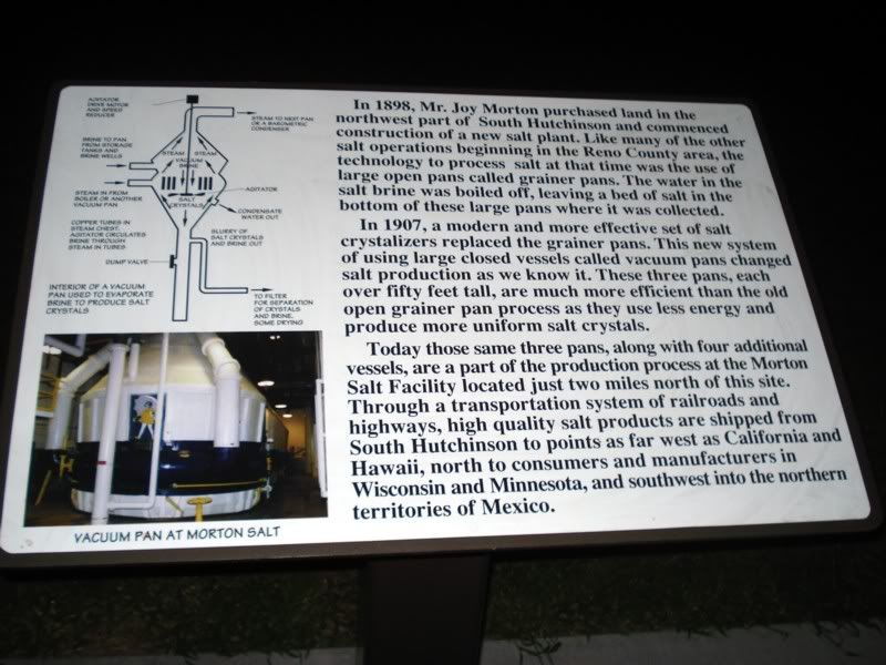
One of those little surprises. I knew salt was mined, just didn't know where. Now I do heh.
Ok, its late. Time to find a hotel. But not here, a little further down the road in Newton, KS. For those of you keeping score at home, I was just outside Limon, CO that morning, for a grand total of...
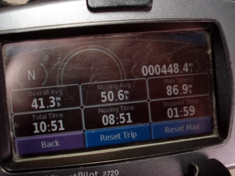
448.4 miles. Did I mention the bike's kinda comfortable, and is fine to ride on all day long at 60-70 mph?
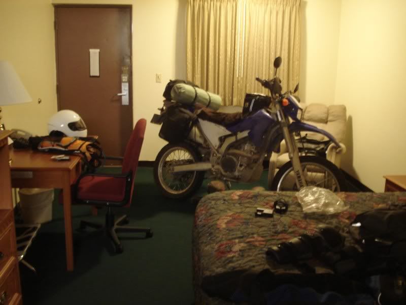
Stayed at a nice Best Western, at least in terms of the rooms. The neighborhood was a bit sketchy, so I brought her inside.
Tomorrow, goodbye Kansas, hello Missouri!
Way too much to say about this post! I am as sucked in to this little 250 as I was into Ewan and Charlie on their monster Beemers. I thought I had seen a lot of this great country! Keep it coming.
Day 18 - Newton, KS to Jefferson City, MO
Another long day across the plains, and unfortunately my last. Not a lot to say nor take pics of, just more of the same. Which was fine by me. :)
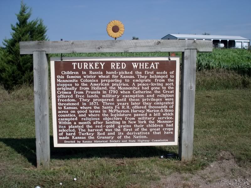
Some more history
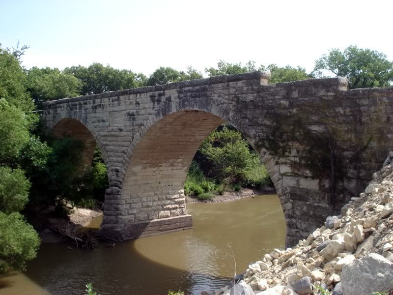
Clements Stone Arch Bridge, built in 1886. Condemned and bypassed, but a beautiful structure.
Nearing the end of the plains...
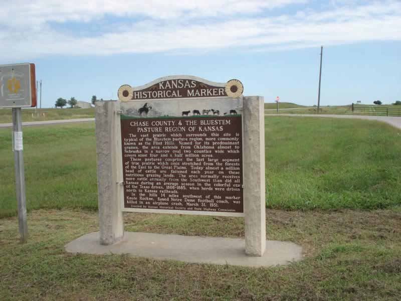
Soon to be replaced with hills and the start of the Appalachians...
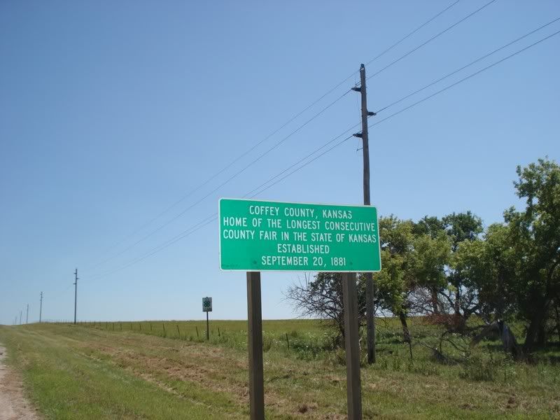
Another "The more you know" moment
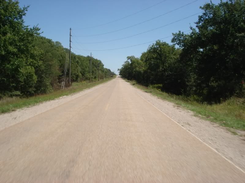
Old US 50, the "modern" route is cosigned on the interstate a few miles north. I like the old route better
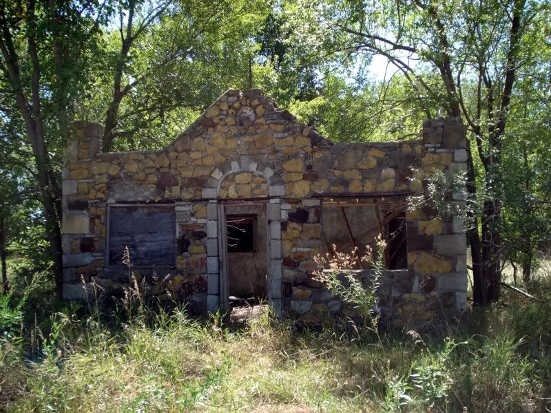
Another cool little abandoned structure by the road side.
I tried to stop in Kansas City to get some Oklahoma Joe's BBQ... but they were closed (Sunday). :( Boo hiss, its been on at least one "Places to eat before you die" list and I was really looking forward to it. Too bad, maybe next time.
Love the 8 ball water tower
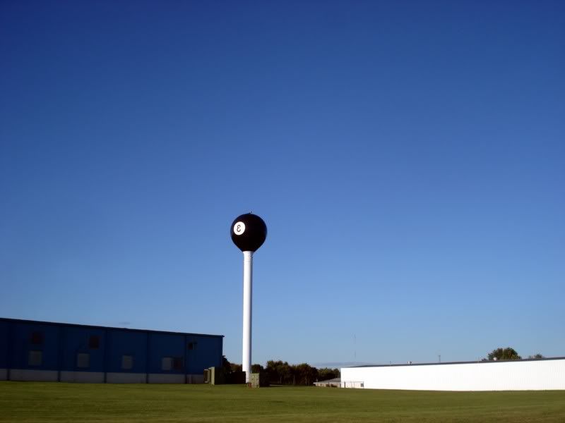
A quick pit stop in Tipton
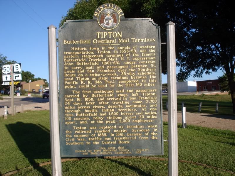
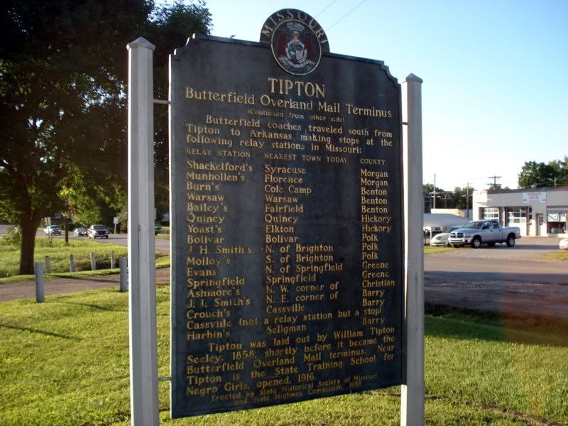
I found a campground outside of Jefferson City just about as it was getting dark. There was a sign saying it was full and reservations must be mailed in advance, and there was a sign saying fill out a slip and pick a campsite, then hand the envelope to the camp host. Hmm... lets do the latter.
Found a nice shady spot and setup. The best spot for my setup was next to a large RV, which was good because my neighbors turned out to be quite pleasant. A husband and wife team, they lived in their 5th wheel, they consulted with campgrounds and such across the country to help them run more efficiently among other things. It pains me that I didn't write down there names, but they were extremely generous in sharing some food (fresh baked beans and cornbread) with me that was simply delicious (especially added to my regular rice+fish poor boy meal) and invited me over to sit by their fire and chat after it got dark.
In the end, another decent day miles and road wise, about 350 miles. Tomorrow... time to get to that well earned drink.
Day 19 - Missouri and points east
Another cold morning and wonderful nights sleep, warm shower at the campsite in the morning to wake up, and on the road again by 7am. Just in time for rush hour it seems, Jefferson City was bustling and crowded, and US50 had been mostly "improved" to either a 4-lane expressway or through the heart of the city. Boo... Eventually it cleared up though, for a while anyways:
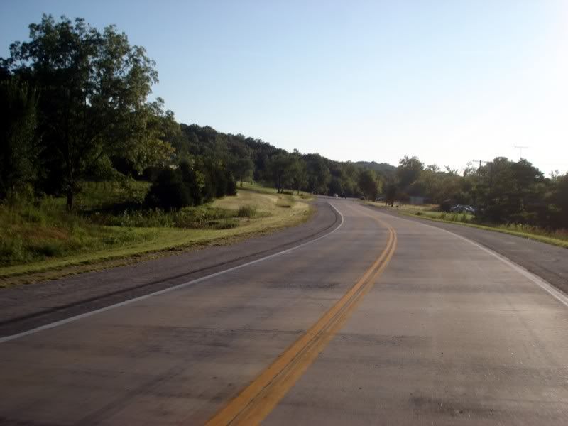
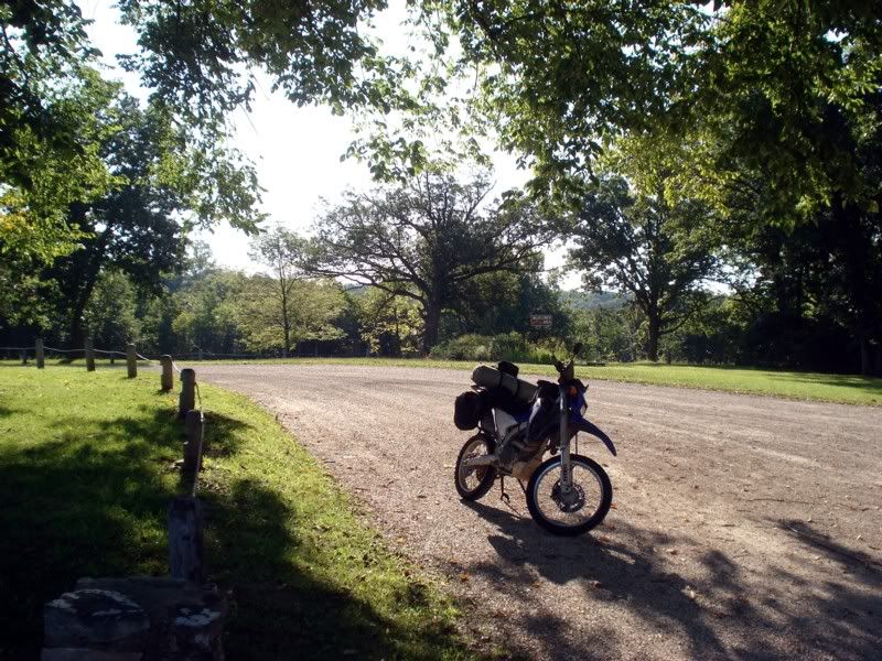
Another rest area, this time for an early snack, to stretch out and adjust layers accordingly again. And because it was pretty.
Getting closer to where I would cross back into the "east" again, another little roadside attraction, only this time the road was the attraction:
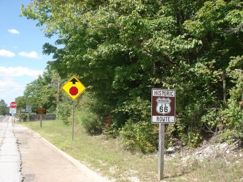
Part of the original US 66, preserved and out of use, replaced by US 50(?) and others.
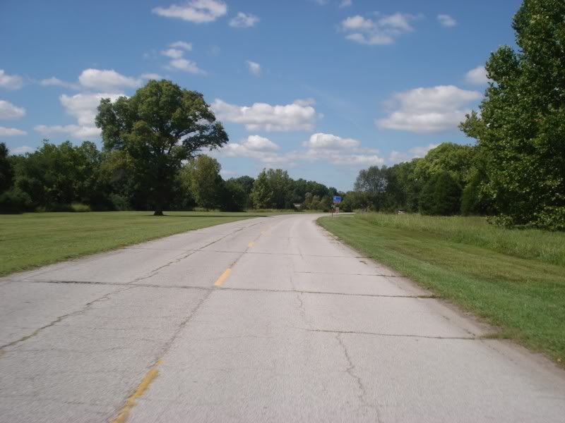
Old and new
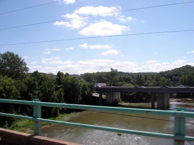
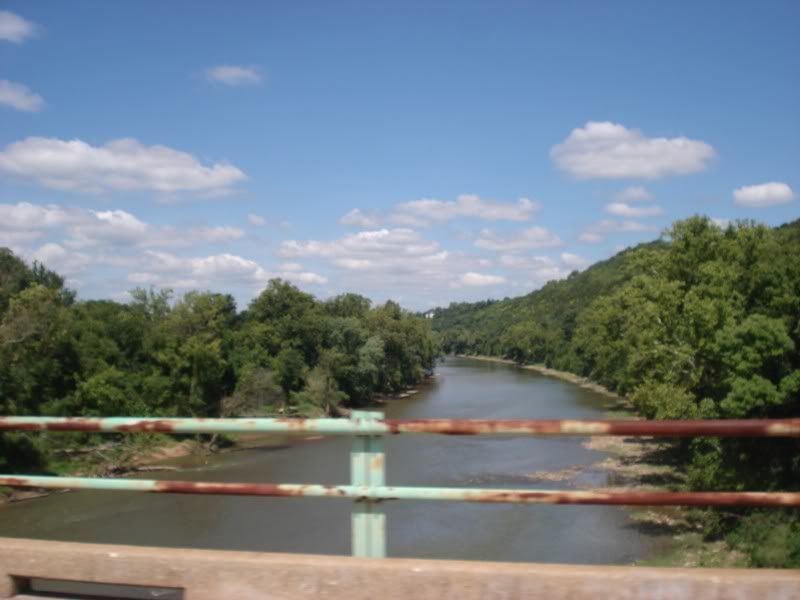
"Then you took me to St. Louis later on (down the river). A freighter said she's been here but she's gone, boy, she's gone."
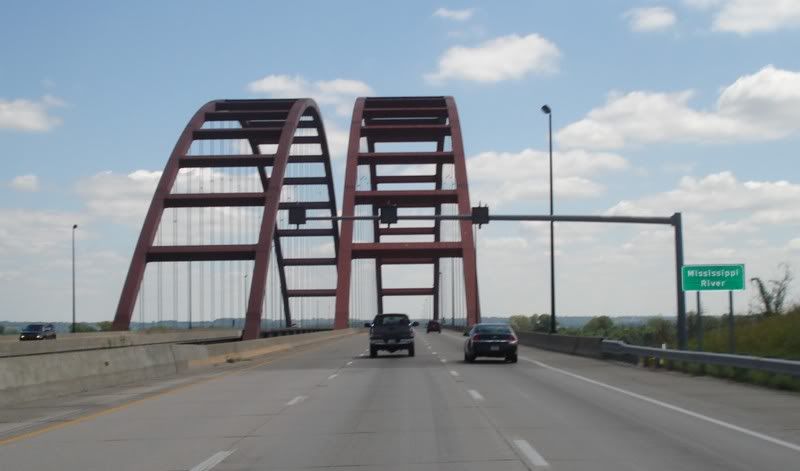
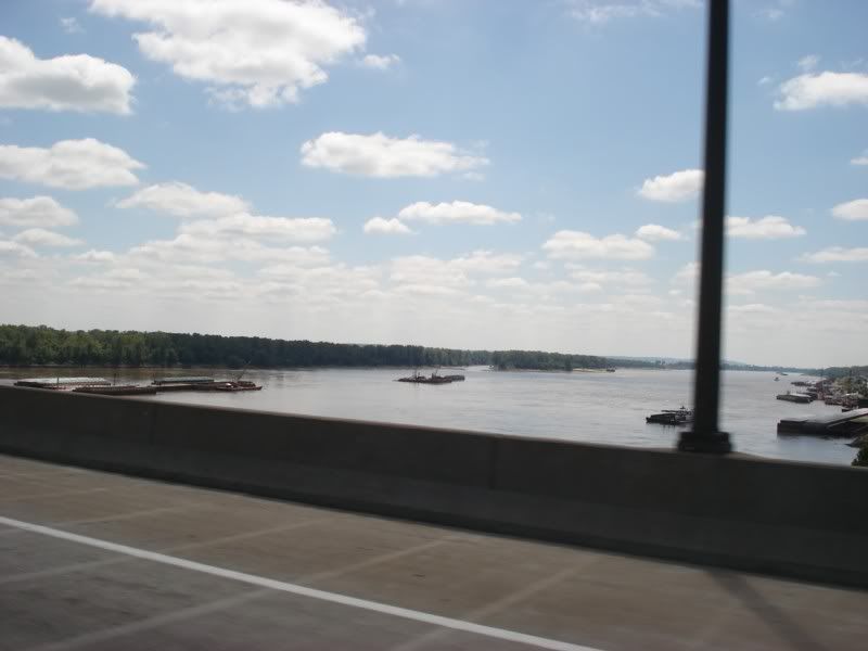
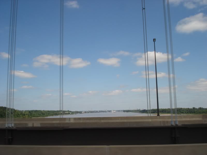
Sorry US 50, you were fun while you lasted but you aren't on my route anymore. Flying blind at this point, the Garmin doesn't understand my fixation on my new destination nor my desire to stay off the interstate so I resort to the old fashioned method of maps. Fortunately the route was simple to follow as there were roads taking me just about directly where I wanted to go in the manner I wished to travel.
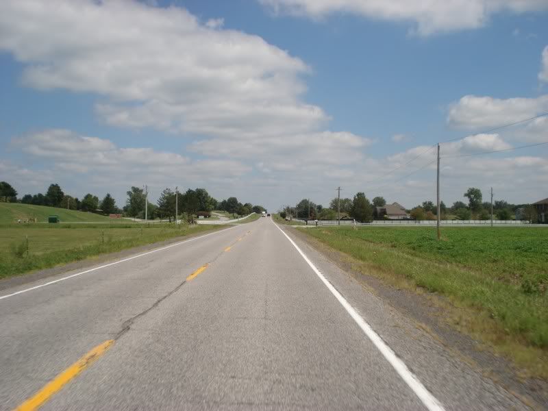
Illinois backroads
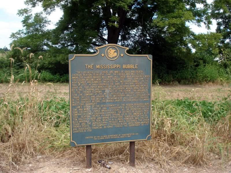
Hello Indiana
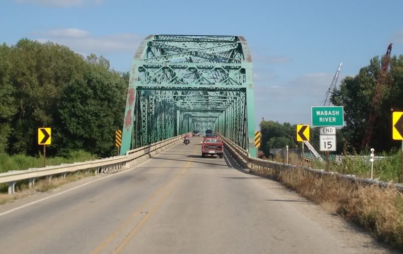
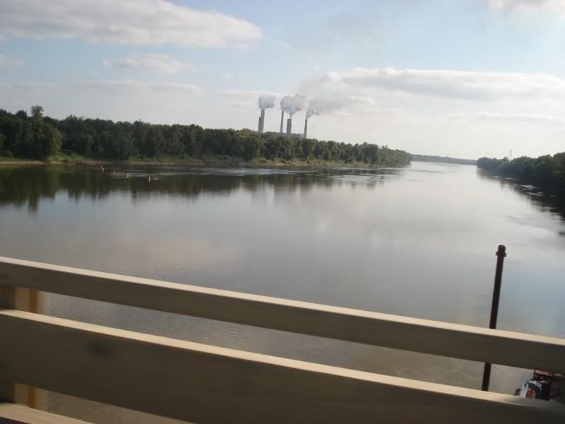
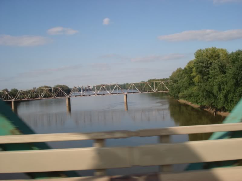
Lots of rivers to cross today.
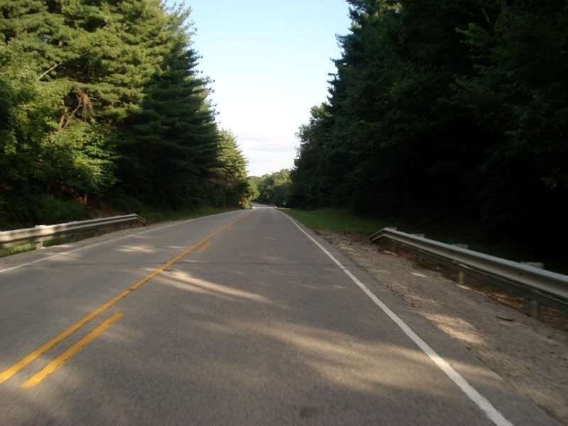
We're definitely out of the plains now, back into the eastern woodlands
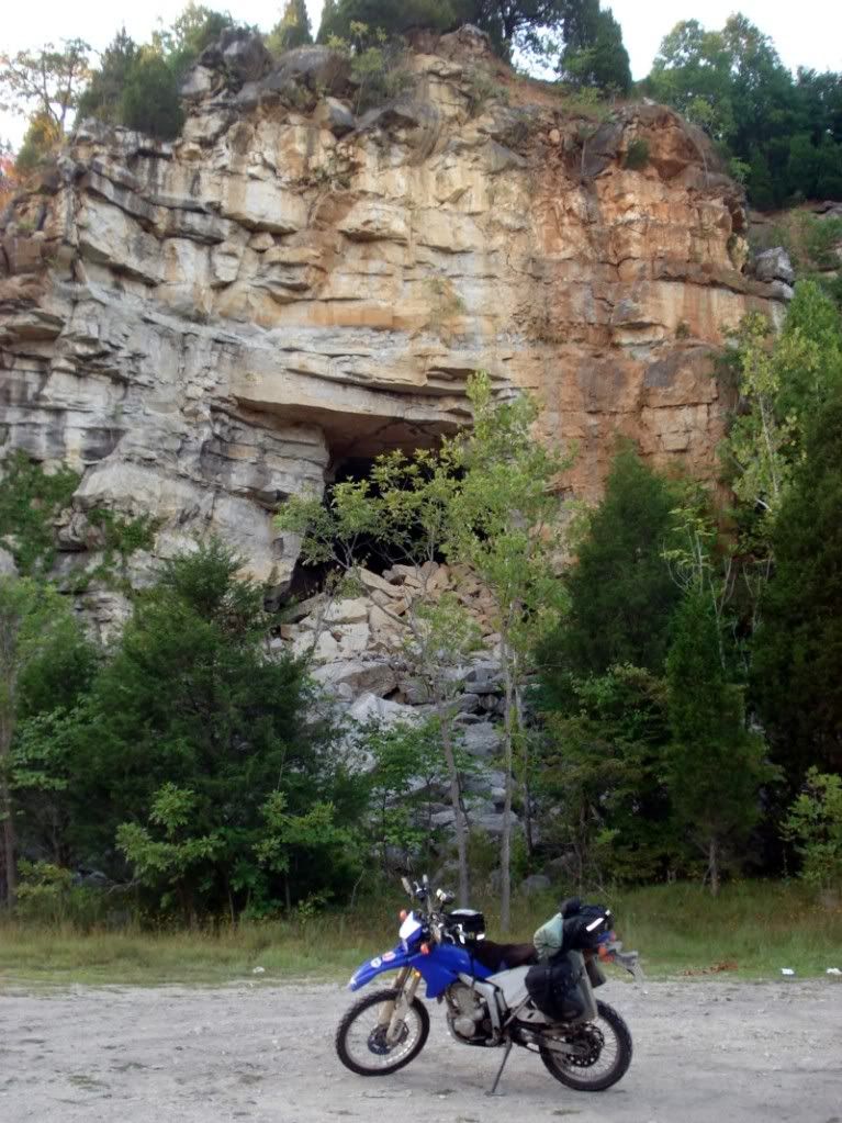
As I got close to my next river crossing, the hills turned into great towering limestone cliffs, riddled with caves and coves and trails that begged for exploring.
But alas, daylight was running thin and dammit, I need that drink! One last river crossing... and about 60 miles to go...
Tomorrow, a well deserved day of rest. Mostly. ![]()
Love this thread! Is this a great country or what?
So when are you going to transfer schools, to one out west? ![]()
When I graduate and start looking for a job. I'm an Art Education major, hopefully I'll be able to find something just about anywhere.
...and I'm stuck in his windowless 12x14 office all day....![]()
The real world is out there, just begging to be explored. Hats off to the souls that do, for they truely know how to live.![]()
What an epic ride! Thanks for sharing!
But, the rockies are definitely NOT the longest chain of mountains on earth. That honor goes to the Andes.
I don't make the signs, I just post them. ![]()
Day 20 - A well deserved rest
Pushed another 450 miles the day before to make Bardstown, KY by around 10pm. I rode about 40 miles today to get to and from my initial destination, the rest was spent on foot. It was nice to be off the bike for a little bit.
First stop... Time for that drink:
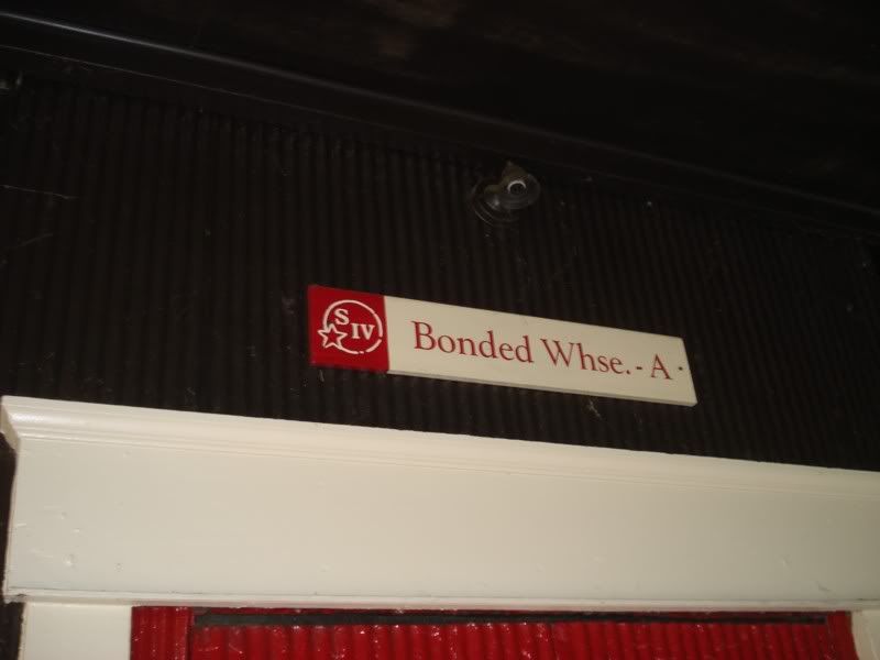
Time to see where my favorite spirits are made! I'm a whiskey fanatic, love the stuff. In fact, I'm having some right now. ![]()
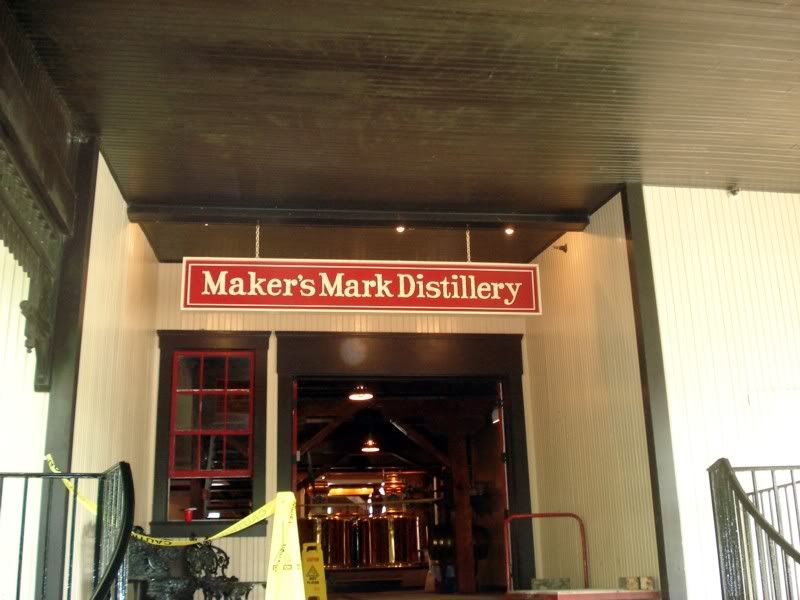
First stop, the Maker's Mark Distillery. Its about 30 minutes outside of Bardstown in Loretto, KY. Everything was shut down for summer cleaning as the water temps from their source was too high for optimal distilling, but the tour still took us through the entire facility.
Inside one of the warehouses:
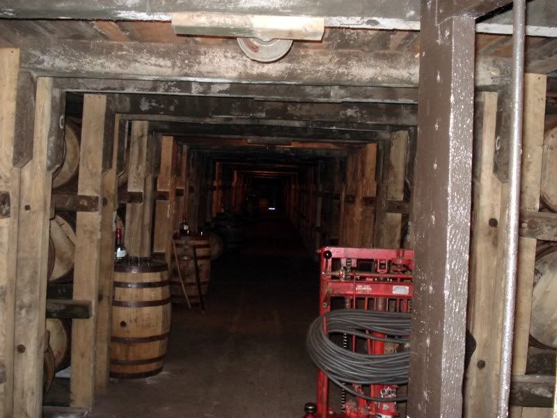
The condensors
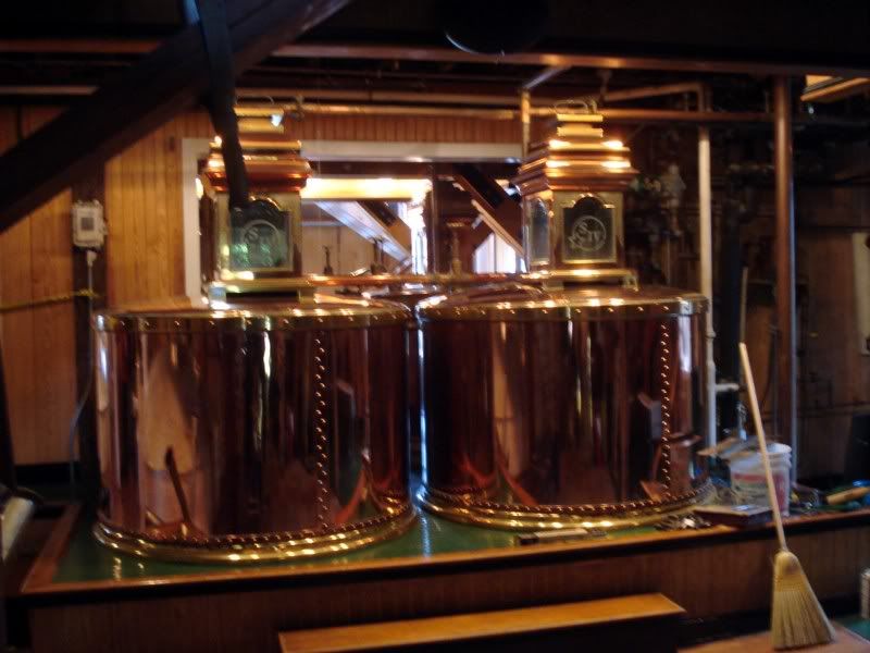
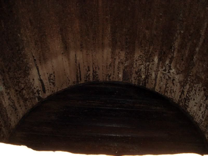
Inside one of the giant fermentation barrels used to make the beer that will be distilled.
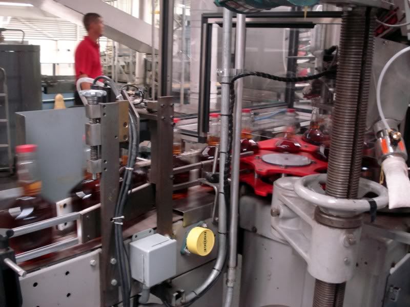
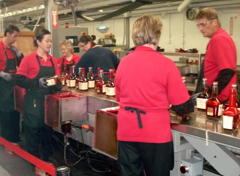
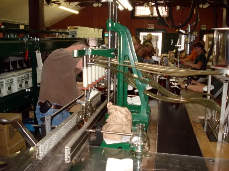
Maker's is a fairly small facility that makes just the one whiskey, Maker's Mark (duh) so its a pretty small and (for mass production) boutiquey type shop. The grounds are immaculate, the buildings are all pretty, and the bottling line is a small and efficient operation.

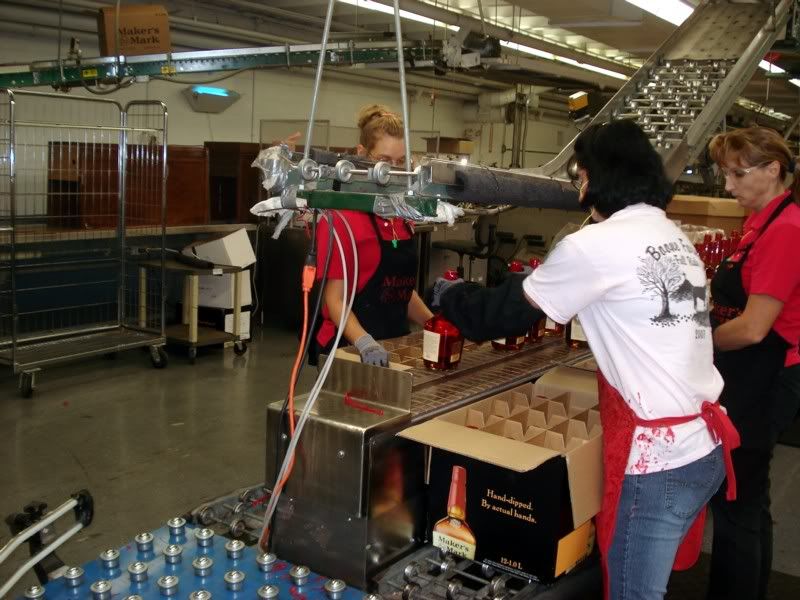
As the tour girl led us back to their warehouse/tasting room and got to talking about the whiskey aging in the barrels, a little hound dog puppy followed us in. I miss my hound dog...

The tasting room was almost painfully ultra modern, especially as you come in from a century old wooden warehouse surrounded by the wonderful smell of bourbon aging. They did have samples of both Maker's and the 'white dog', which oddly enough I kinda liked better. I guess because it still has some kick left to it that aged Maker's doesn't?
On the way back to Bardstown, I passed the entrance to Kentucky Bourbon Distillers, LTD and had to stop in and see who they were since I hadn't heard of them before...


Definitely not a tourist destination... I later learned they are responsible for many of my favorite high end bourbons, including the Rye I bought later today at Toddy's in Bardstown.
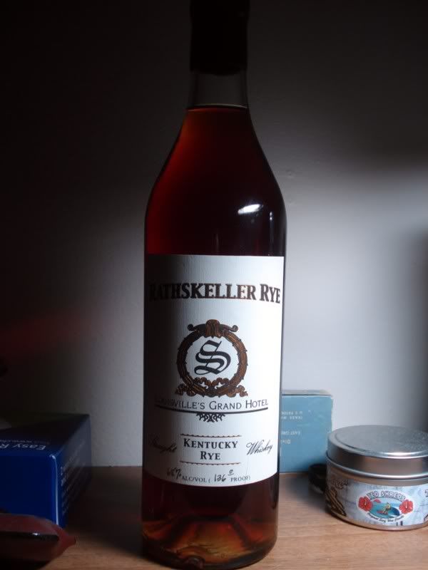
Thats actually what I'm savoring right now. Apparently this stuff isn't supposed to exist anymore. I've got bottle 84 of 211, distilled 4/29/83, bottled at 23 years old, and 136 proof. Best whiskey I've ever had, period. Its as close to perfect as I can ever imagine a whiskey to be, smooth as a baby's butt even at that proof, full of spice, fruit, and just enough warmth to make the world right.
Passing the new Heaven Hill
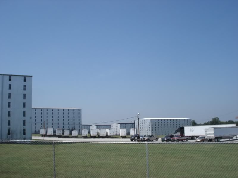
Dropped the bike off at the hotel and started walking around Bardstown, killing time before the next tour at the Tom Moore Distillery. Lots of neat stuff in this town, very charming little place with lots of history. Ok enough of that, more whiskey!
Tom Moore Distillery, formerly Barton Brands.
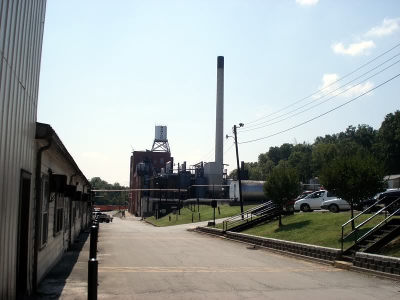
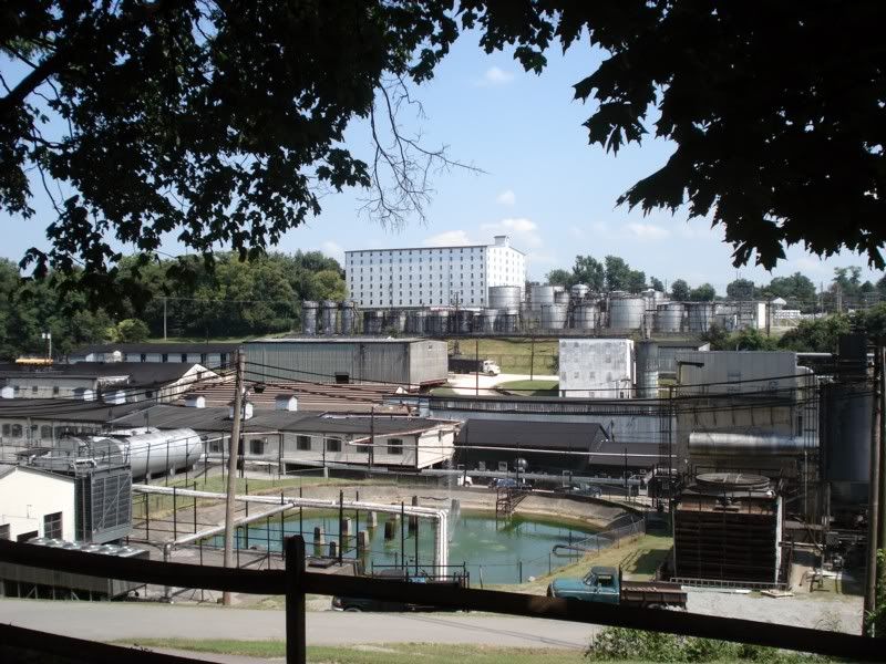
This was the polar opposite of Maker's. Even though its on the Bourbon Trail, its still primarily a working distillery that happens to give tours. You have to call ahead for a reservation (nominally, I called about an hour before the tour started as that's when I walked up and found out I needed a reservation) and be met at the gate by the guide. They limit the tours to 12 people... but I got lucky. No one else showed. So I got a personal tour of the facility. :D
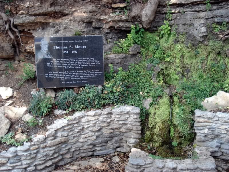
The original spring that the water is still taken from
The barreling line
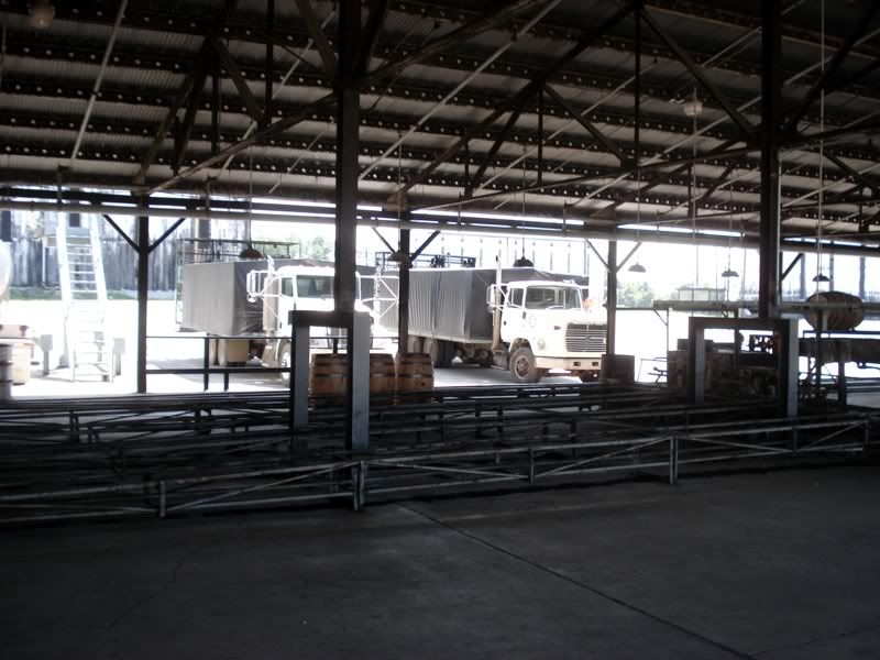
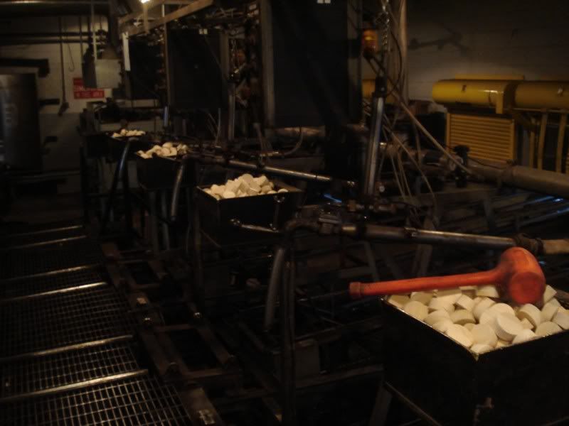
Inside Warehouse Z
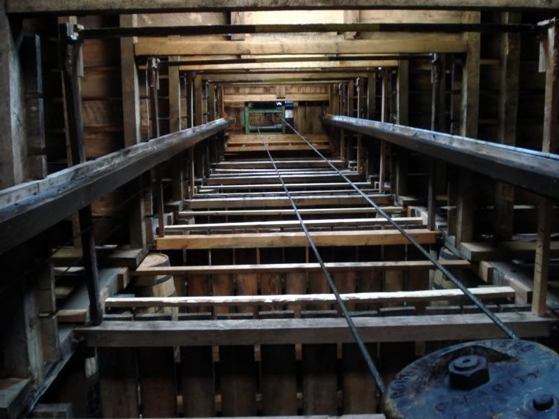
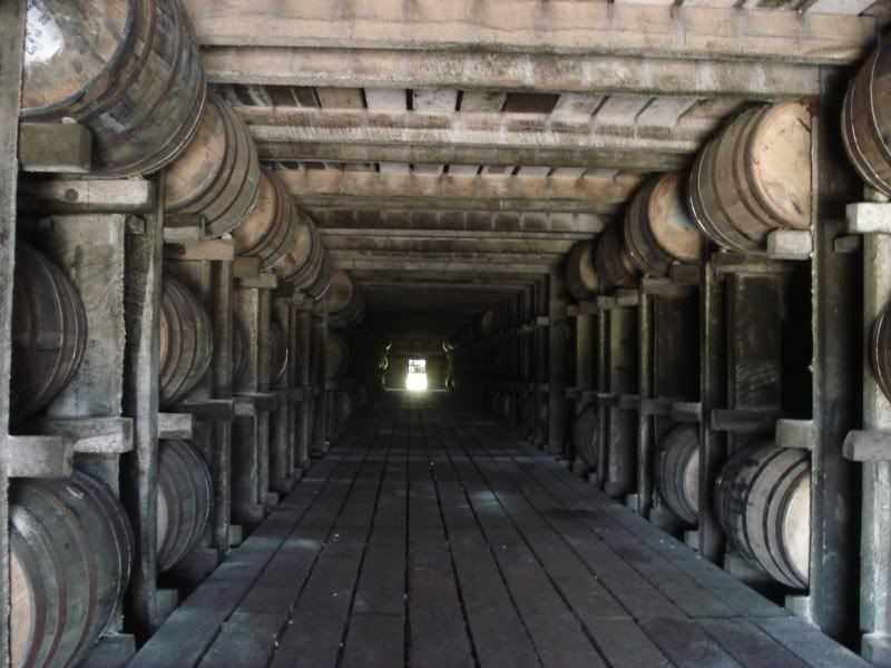
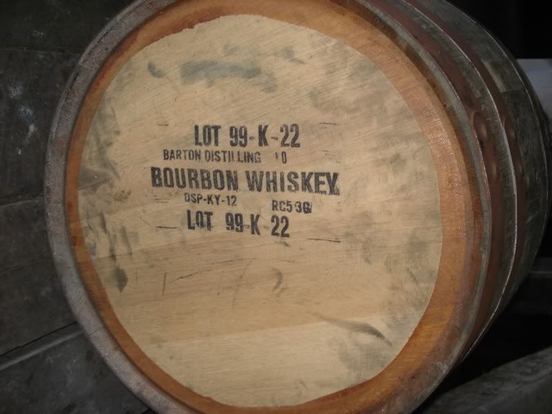
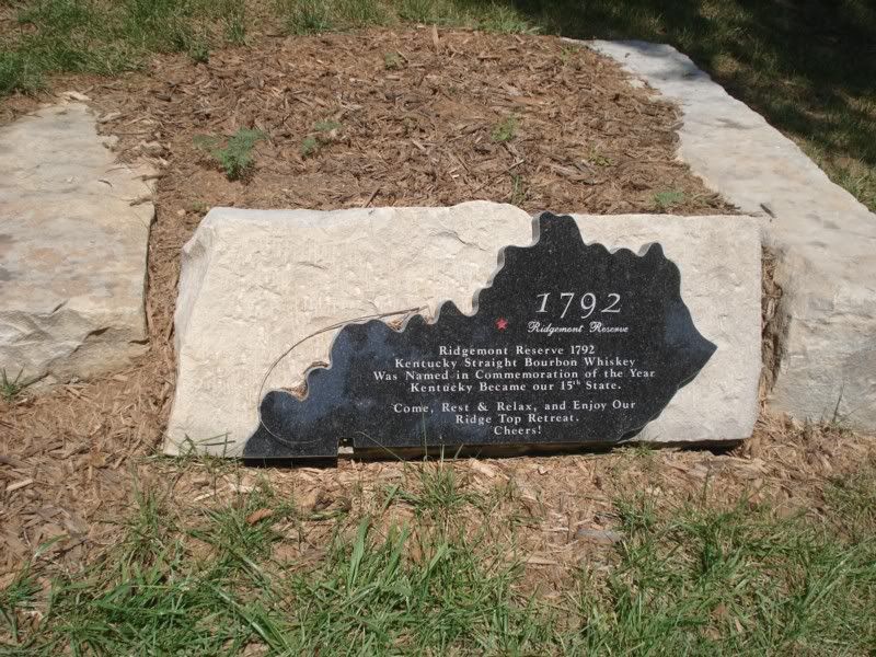
No hound dogs, fancy tasting rooms hidden in back, or other gimmicks here. Just thousands of gallons of my favorite go to bourbon aging quietly (1792 Ridgemont Reserve).
The smell is something I wish someone could turn into a candle or something. The mixture of old wood, dust, summer heat, and aging whiskey was magical.
What they make here:
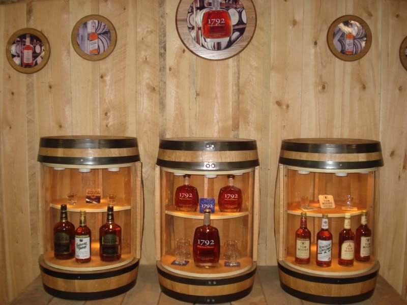
They also bottle under contract for a host of other companies, today they were actually bottling Paul Mason brandy.
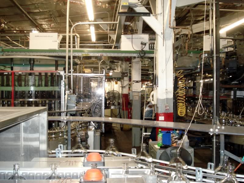
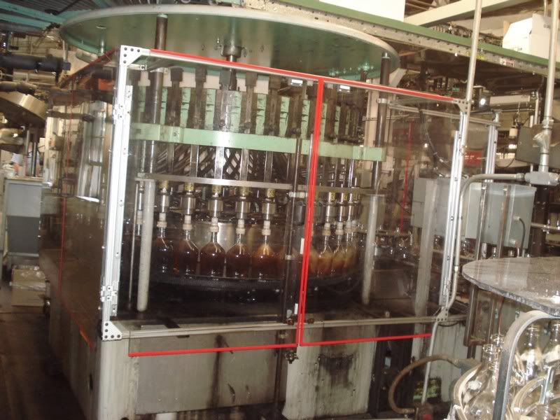
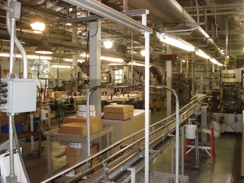
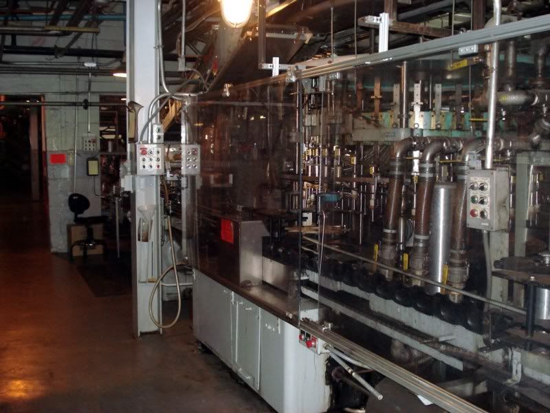
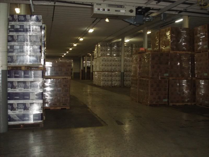
The warehouse, ready for shipping
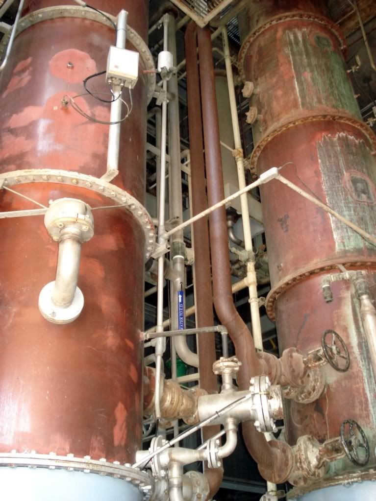
Two of their retired column stills, still functionally ready but not in use as Americans are drinking less these days.
They have a little park for their employees and guests
that features the world's largest bourbon barrel.
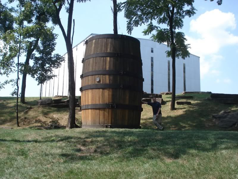
It was originally intended to be part of a tourism drive for the county to celebrate the town's heritage as a distilling capital, but there were aparently enough people against the idea on the grounds of it would "corrupt the children" and "set a bad example" that it was put into storage until the distillery bought it and put it on display.
No drinks on the tour unfortunately, as they do not have the facilities for it. I did get directed to a great liquor store (Toddy's, see above) that had damn near every common and not-so-common bourbon on the market. I then stopped for a late lunch at the Old Talbott Inn. The dining room:
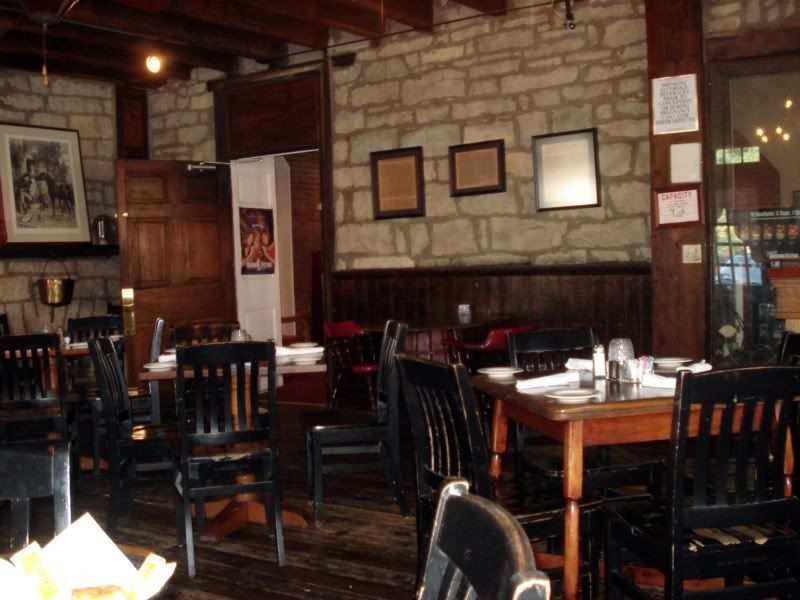
Had a great country fried steak, and then got to work with the bourbon sampler. 5 full shots of the bourbons of my choice you say? A shot of 1792, Bookers, Blantons, Mitchtners Single Barrel, and 4 Roses small batch later, plus two beers that I forget the name of lol, I was feeling right. Paid the check, stumbled back to my hotel, and settlied in by the pool with a pint of Evan Williams and spent the rest of the day doing a whole lot of nothing. ![]()
Day 21 - Buffalo Trace and points east
Time to leave, but gotta make two quick stops first. Wild Turkey was first:
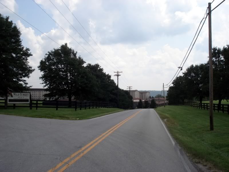
After the other two tours, it was kinda disappointing especially since they couldn't really take us anywhere with the distillery being shut down for summer cleaning. I didn't really need to see another warehouse and not get to sample bourbon, so I cut out early and made tracks to Frankfort for my last distillery stop, Buffalo Trace. I did run in to some guys at Turkey who were on their way to the MotoGP in Indy, sounded like fun, maybe next year.
On the way to Frankfort, I passed this little gem.
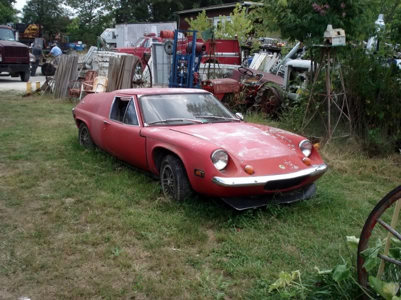
A fine all-original example of a Lotus Europa. Its was for sale, guessing its probably gone now but I took down the coordinants if anyone's interested (assuming I remembered to save it once I got home)
Made Frankfort for the last tour of the day at Buffalo Trace, which is the distillery I really really really wanted to see as they make my favorite bourbons and ryes (George T Stagg and Sazerac 17 respectively).
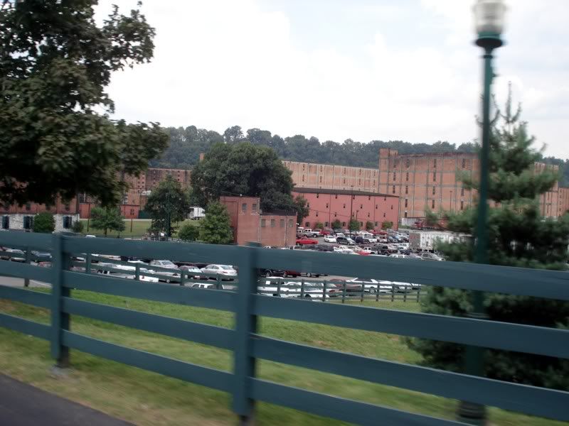
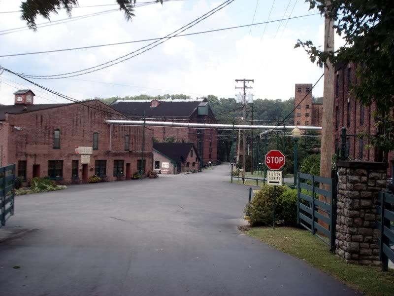
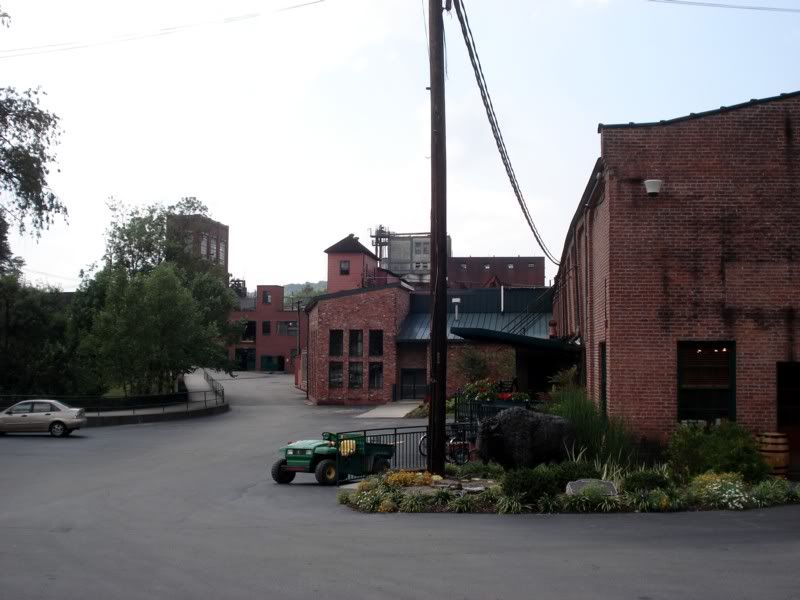
Its the oldest continuously operating distillery in the US (one of 5 allowed to stay open during prohibition), hence the warehouses made of brick instead of aluminum sheeting.
The small batch bottling hall
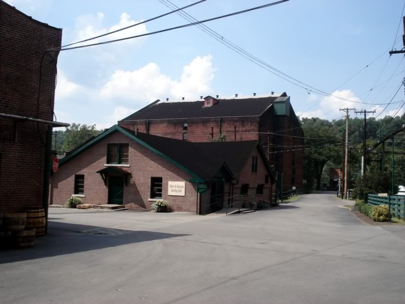
Today they were bottling Blanton's, one barrel at a time.
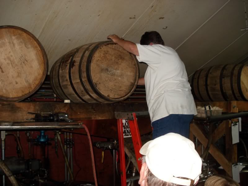
I did get to sample a full range made from the same mashbill: Buffalo Trace white dog and 8year, Eagle Rare 10 yr (Single Barrel), Rain Vodka, and Buffalo Trace Cream liqueur. They also had root beer from a local place. All very tasty! It was amazing to taste the range of flavors that can come from the same mashbill, depending on how long you let it age and whether or not you blend it or take it from a single barrel.
Alas, it was time to leave the bourbon trail behind and make for home. Frankly, I was ready to be back, 3 weeks is a long time on the road.
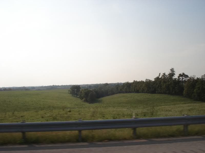
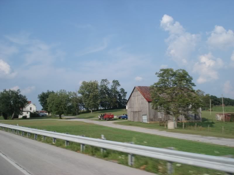
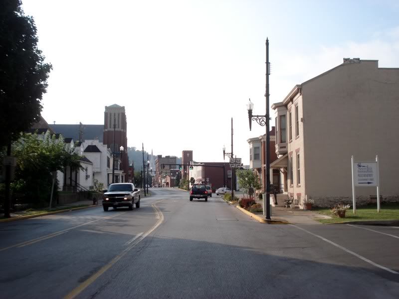
The bridge out of Kentucky, to Ohio. Never thought I'd be so happy to be in Ohio! ![]()
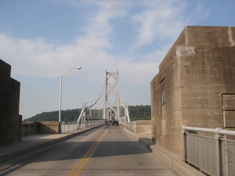
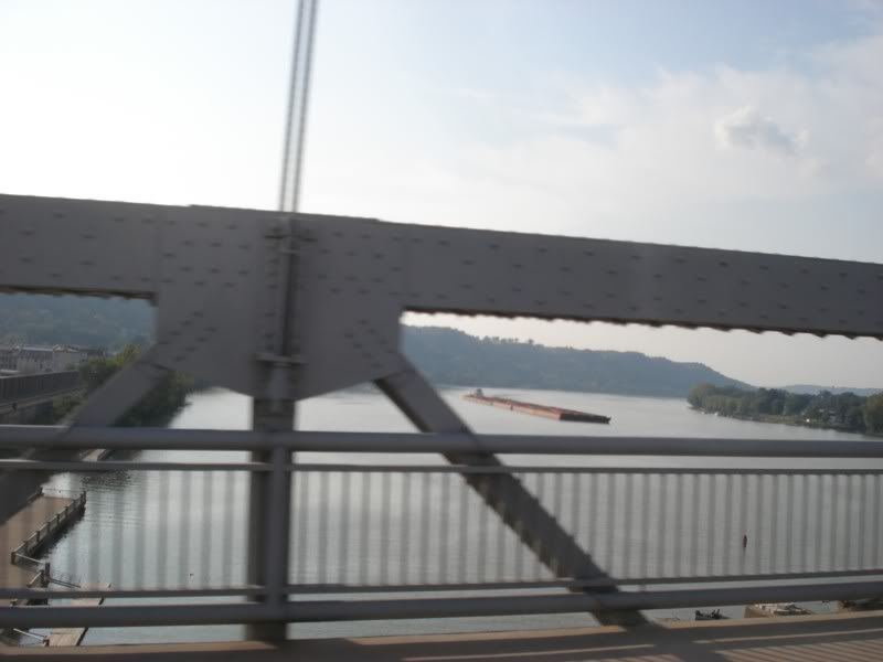
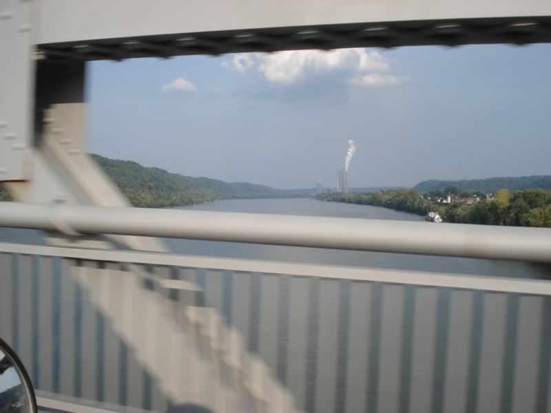
The route number I took eludes me, but basically it follows the river up to where US 50 crosses into West Virginia, where I'll rejoin 50 E.
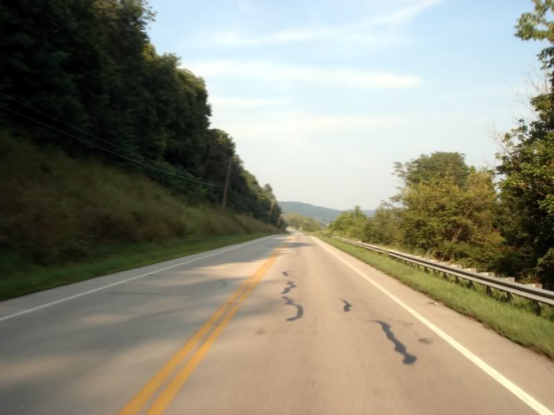
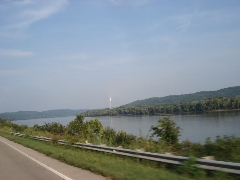
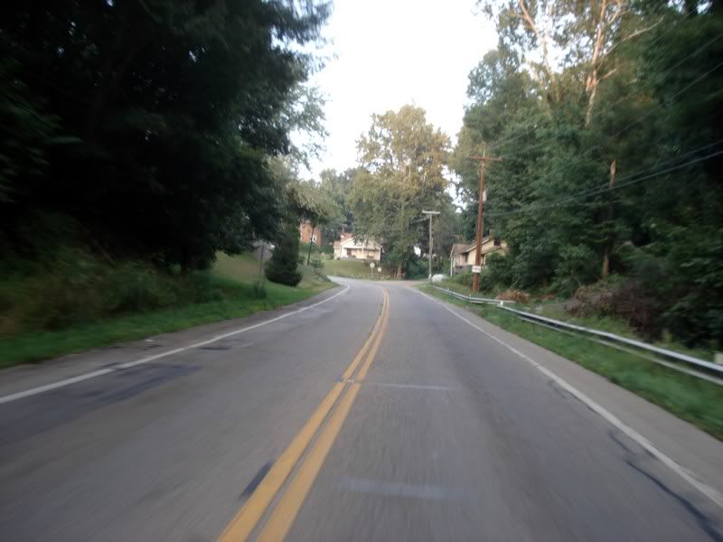
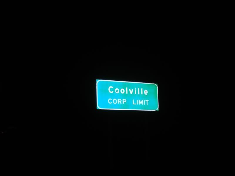
Coolville, son.
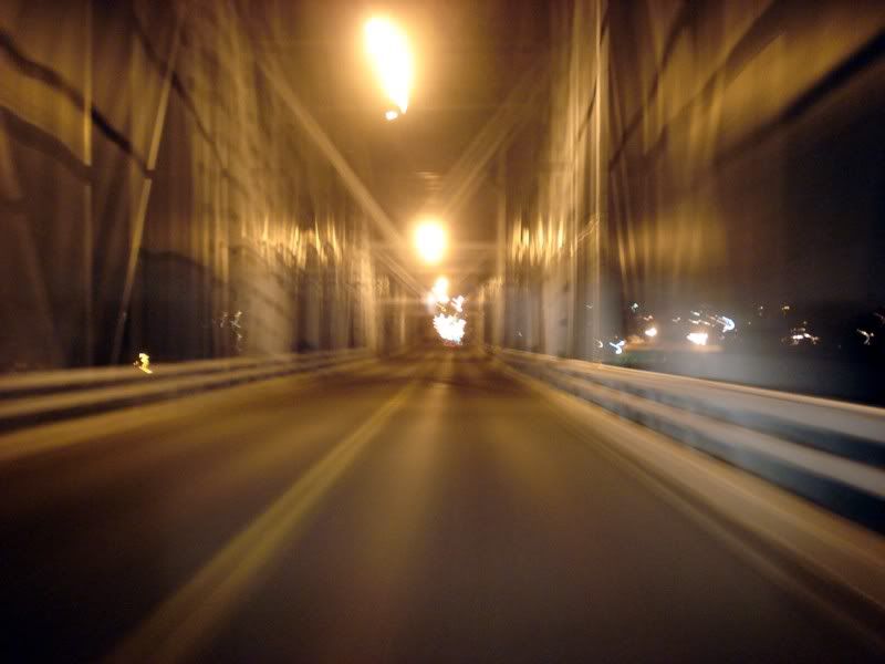
The bridge to West by God Virginia. Almost home!
Rode about 400 miles today and ended up in Bridgeport, WV. Tomorrow... home.
Excellent account, thanks for posting it all up.
I'm sitting inside with a cold, while it pours down with rain outside, wishing I could do what you did!
Day 22 - Home
Twenty-two days earlier, on August 6th, I hit the road for a journey that was longer than any I had taken since I was a little kid. I only vague expectations of what I would experience and a very basic plan what I was going to do once I got to Colorado. Part of me wanted to keep going honestly, then ride south to Baja... but alas sanity prevailed (this time...). Now i'm on the home stretch...
Back to US 50 East, which turns simply amazing once in West Virginia
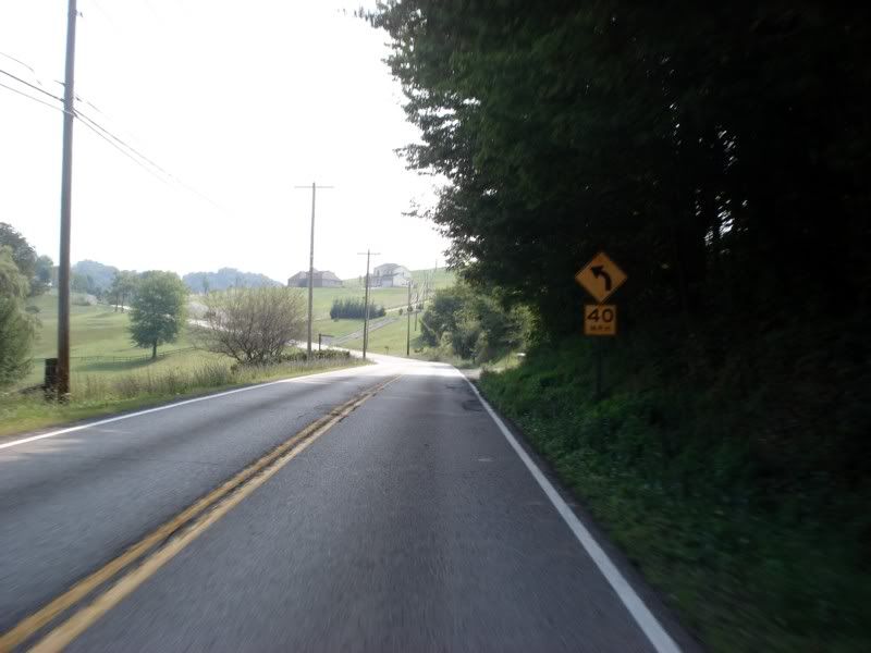
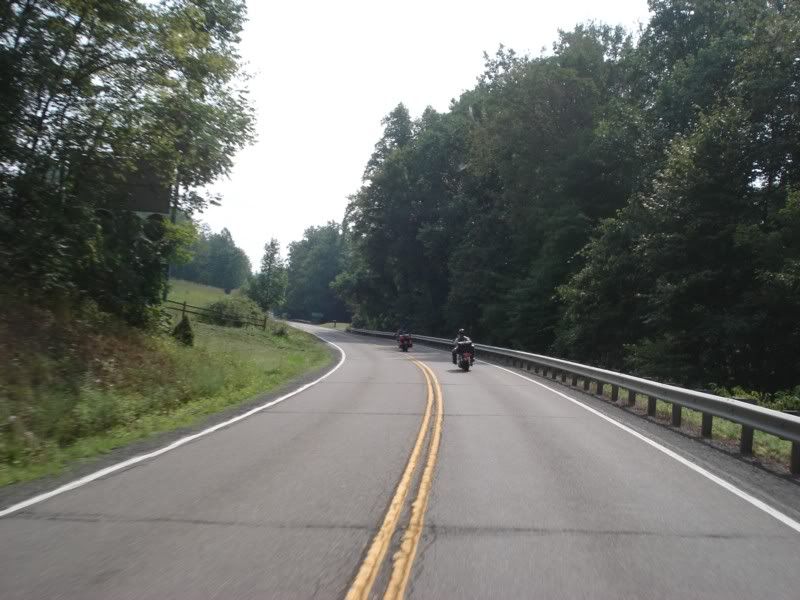
I stopped taking pics until I stopped for gas at this neat little roadside park because it turned into 40 miles of switchback and mountain hugging curves. Easily one of my favorite roads of the trip.
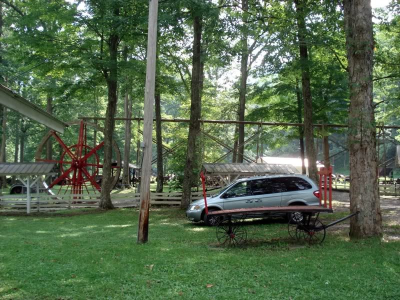
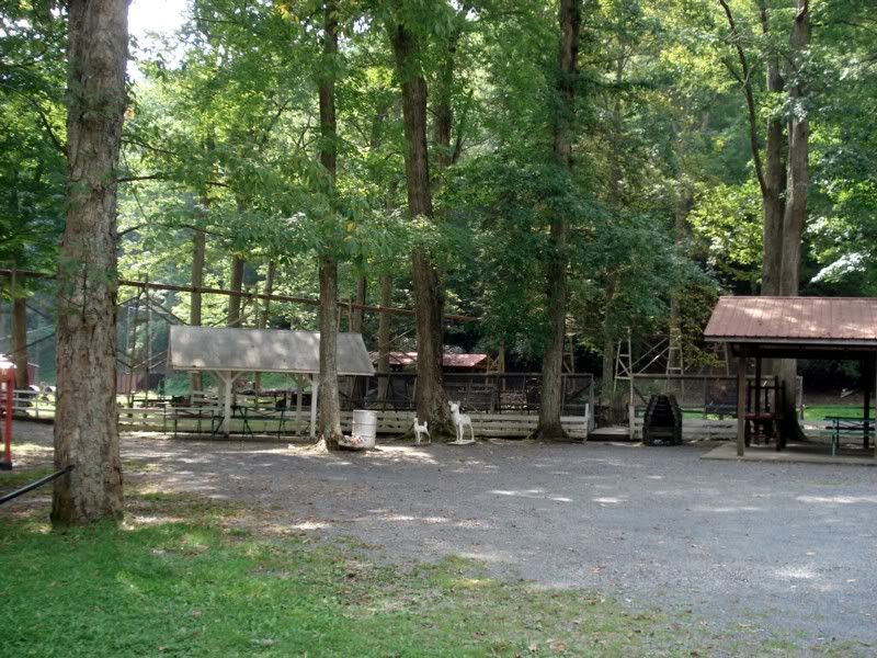
And shortly thereafter...
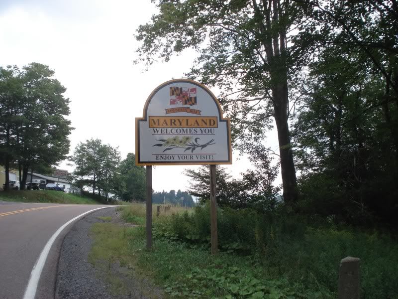
What a sight for sore eyes! Home at least... well not quite. I'm way down in the wasp tail of Maryland and still several hours from home. Still, it was nice to see the sign and be back in my home state.
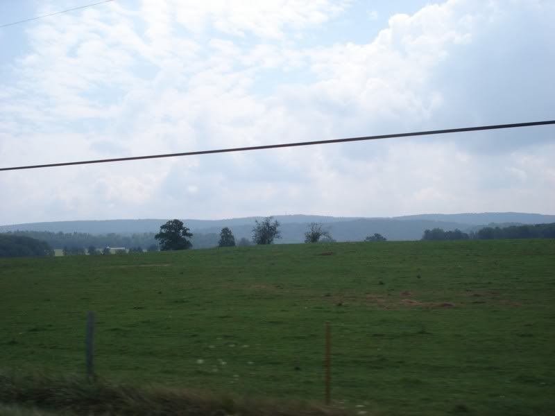
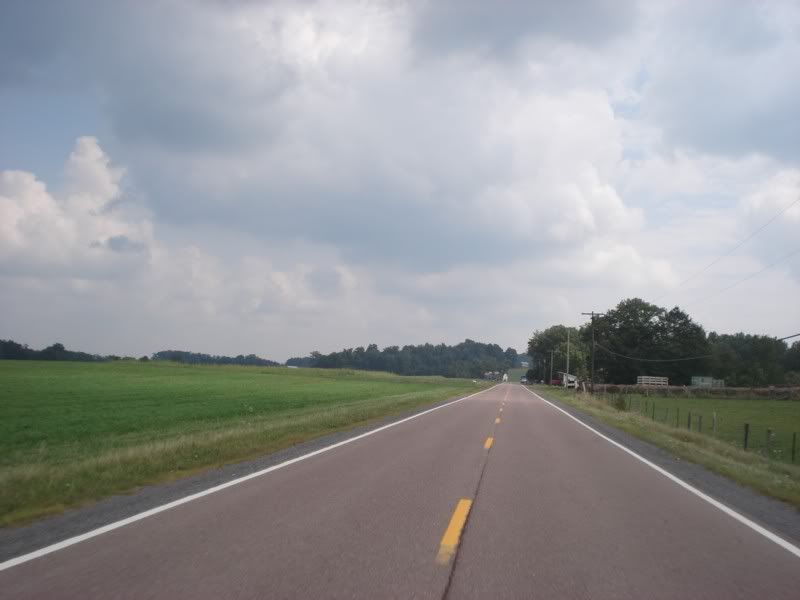
Little did I know I was in for one more surprise:
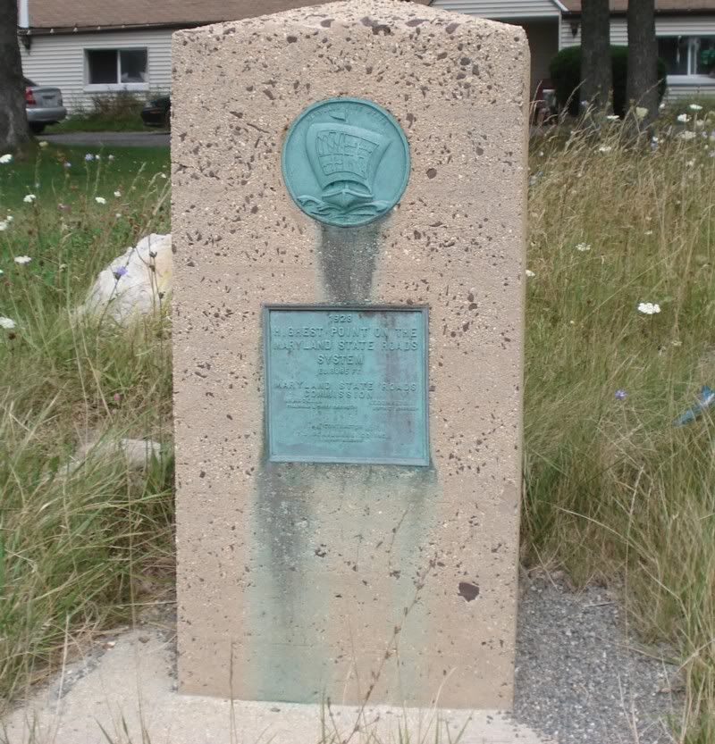
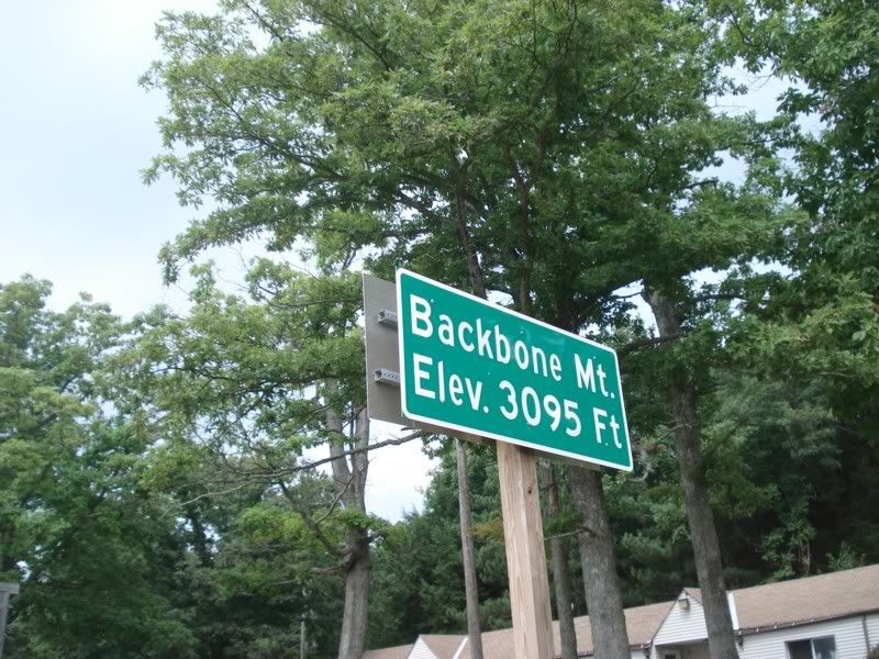
Wasn't planned on at all, but I think it was a nice bonus considering the elevations I'd covered in the last three weeks.
Back into West by God Virginia:
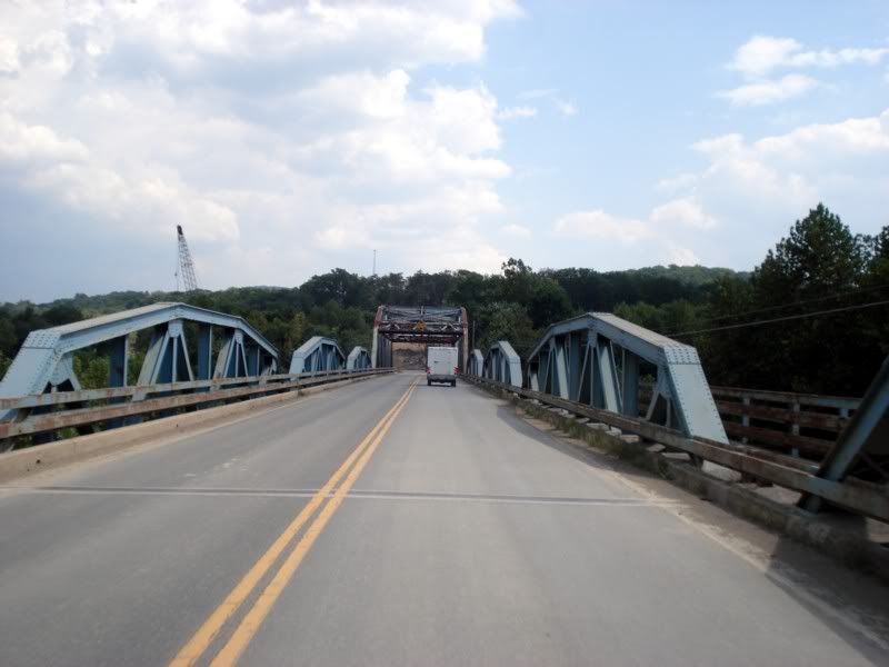
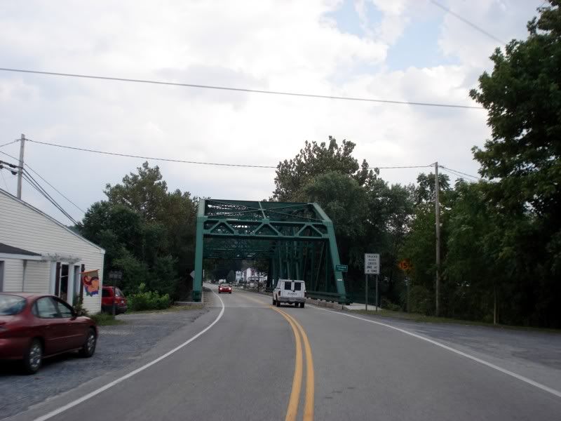
Near Winchester, VA I left US50 for the last time on this trip and headed northeast. Didn't plan on coming past this way, but I had to stop when I realized it.
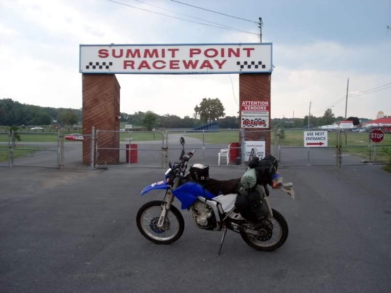
Hopefully I'll be able to go back again one day, only with a car or a sportbike for a race.
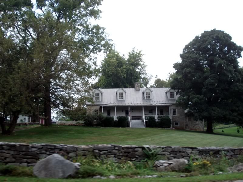
Passing the White House Manor
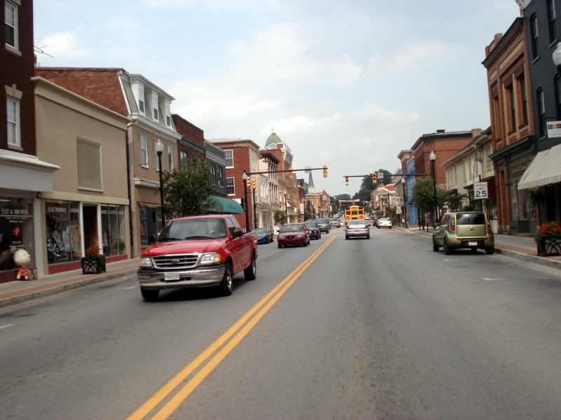
Charlestown, WV
Shennandoah River
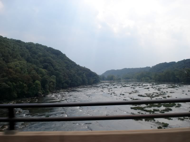
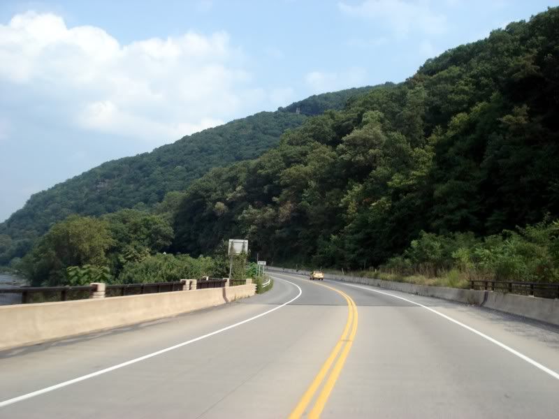
Potomac River
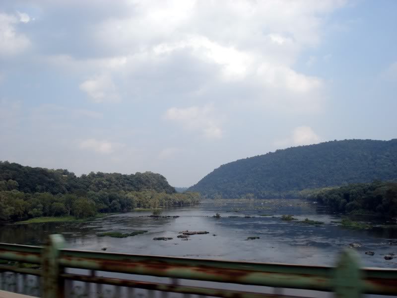
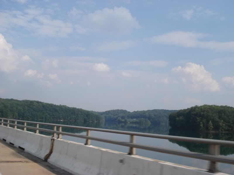
Back into Maryland and on the home stretch. Followed US340 out from Charlestown to Frederick, and hopped on Liberty Road to head home like I like to do in order to avoid I70 and beltway traffic.
Almost there... I can smell it...

Finally, 3 weeks and 6356 miles later, home sweet home!
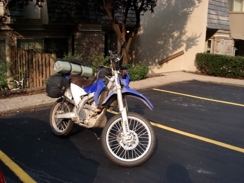
Time to be greeted by one excited hound dog (from the walk a little after I got home)
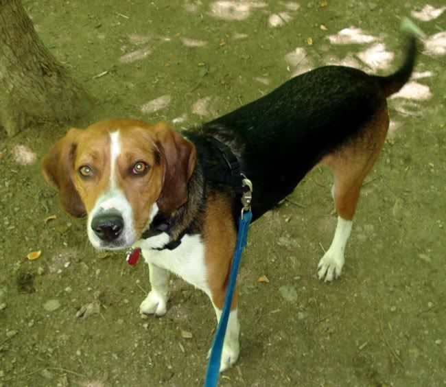
My roommate said that for the entire time I was gone, every time a motorcycle would go by he'd be at the sliding glass door, looking out to see if it was me... I love dogs.![]()
Get myself a beer, and start unpacking. When I got home I had 3 full days left before the start of fall classes, meaning I had a nice 3 days during which I did absolutely nothing. Well thats a lie, I had to unpack, clean the bike, get books, and sit by the pool staring at the hotties.
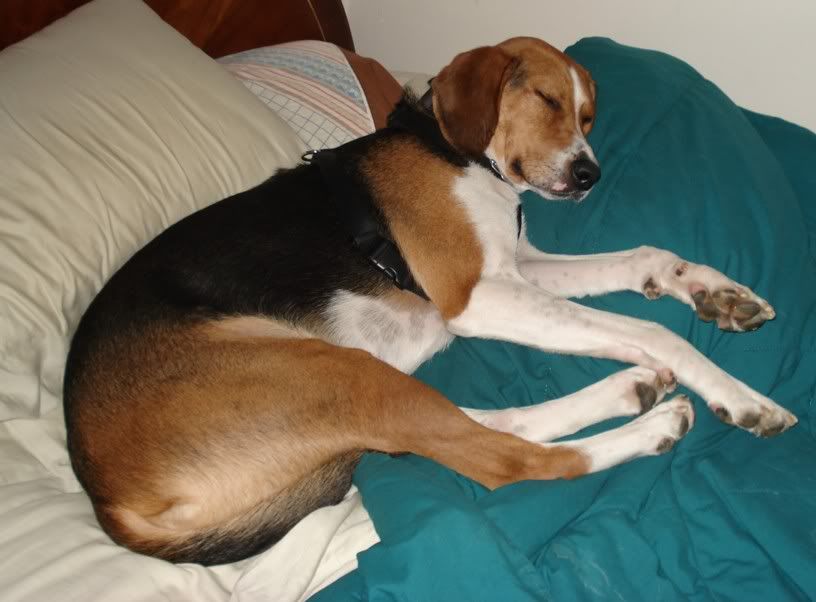
Hmm... guess he wasn't that excited after all, just wanted to get back into my room so he could get to my bed!
Thanks to everyone who helped me finish this trip, all of those whose rides inspired me to do this, and all of you who took the time to read it. Only thing that's left are some reflections on what I saw, what I learned, and such...
Luke - anyone can do it. Pick a date, pick a destination (or a route of interest like I did), and come hell or high water leave on that date. Prepare accordingly. Or don't and just wing it. Either way, you've got to go. After all... there's no time like the present. Being home sick is a great time to start planning. ![]() Life's short and tomorrow may never come after all.
Life's short and tomorrow may never come after all.
I wondered why you said there was only one place on your route to get a drink..
As a native Southern Boy, I hate to admit that I'm not the biggest bourbon fan in the world..but yeah, that Maker's Mark is smooth stuff!
Great trip, great pix, great report! Man, I'd like to do something like that just one more time..I doubt that I could do it on two wheels anymore (I'm 47), but you sure make me want to do that Rt. 66 trip I've always thought about..![]()
You'll need to log in to post.